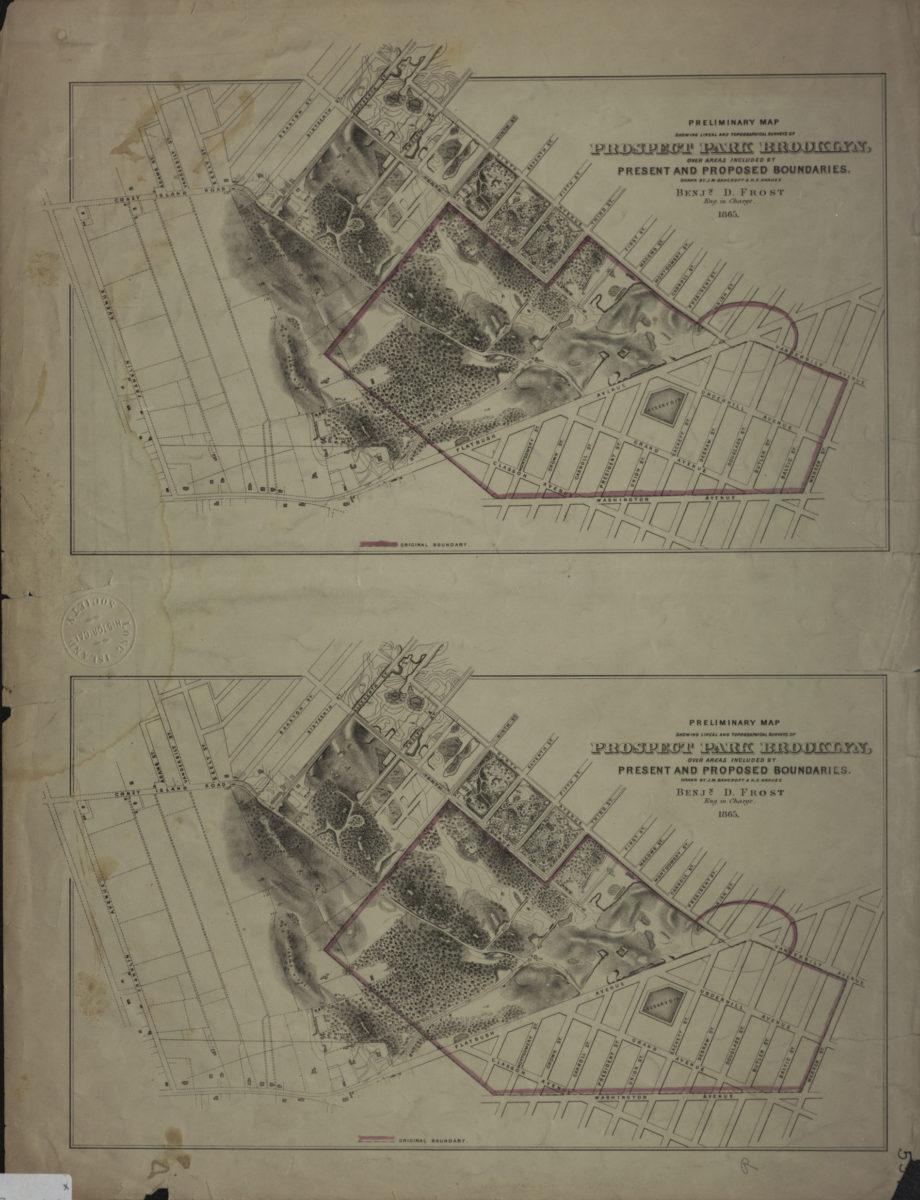
Preliminary map showing lineal and topographical surveys of Prospect Park Brooklyn, over areas included by present and proposed boundaries: drawn by J.M. Bancroft & H.F. Krause 1865
Map No. B PP-1865.Fl
Also shows the reservoir and surrounding streets. Original park boundary outlined in pink. Relief shown by contours, hachures, and spot heights. Oriented with north to the right. “Benjn. D. Frost, Eng. in Charge.” Consists of 2 identical maps on 1 sheet.
Map area shown
Relation
Full catalog recordSize
49 × 37 cmDownload
Low Resolution Image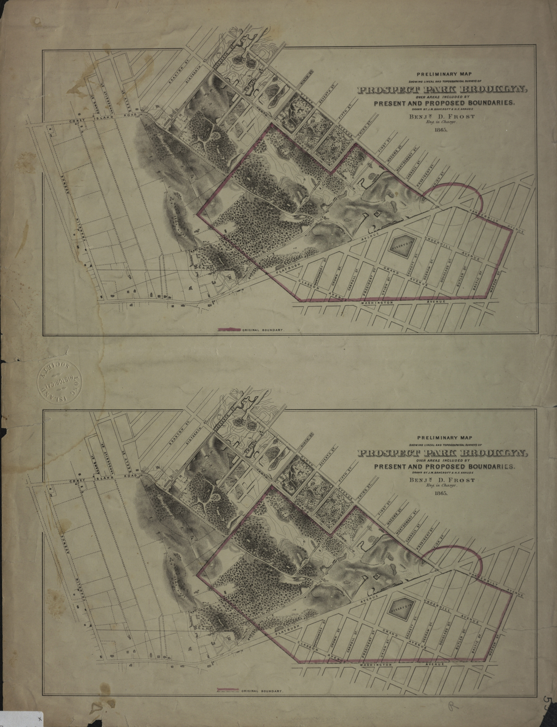
Creator
Bancroft, J. M.,Publisher
Brooklyn Historical SocietyCitation
Preliminary map showing lineal and topographical surveys of Prospect Park Brooklyn, over areas included by present and proposed boundaries: drawn by J.M. Bancroft & H.F. Krause; 1865, Map Collection, B PP-1865.Fl; Brooklyn Historical Society.Scale
Scale not givenLoading zoom image...