
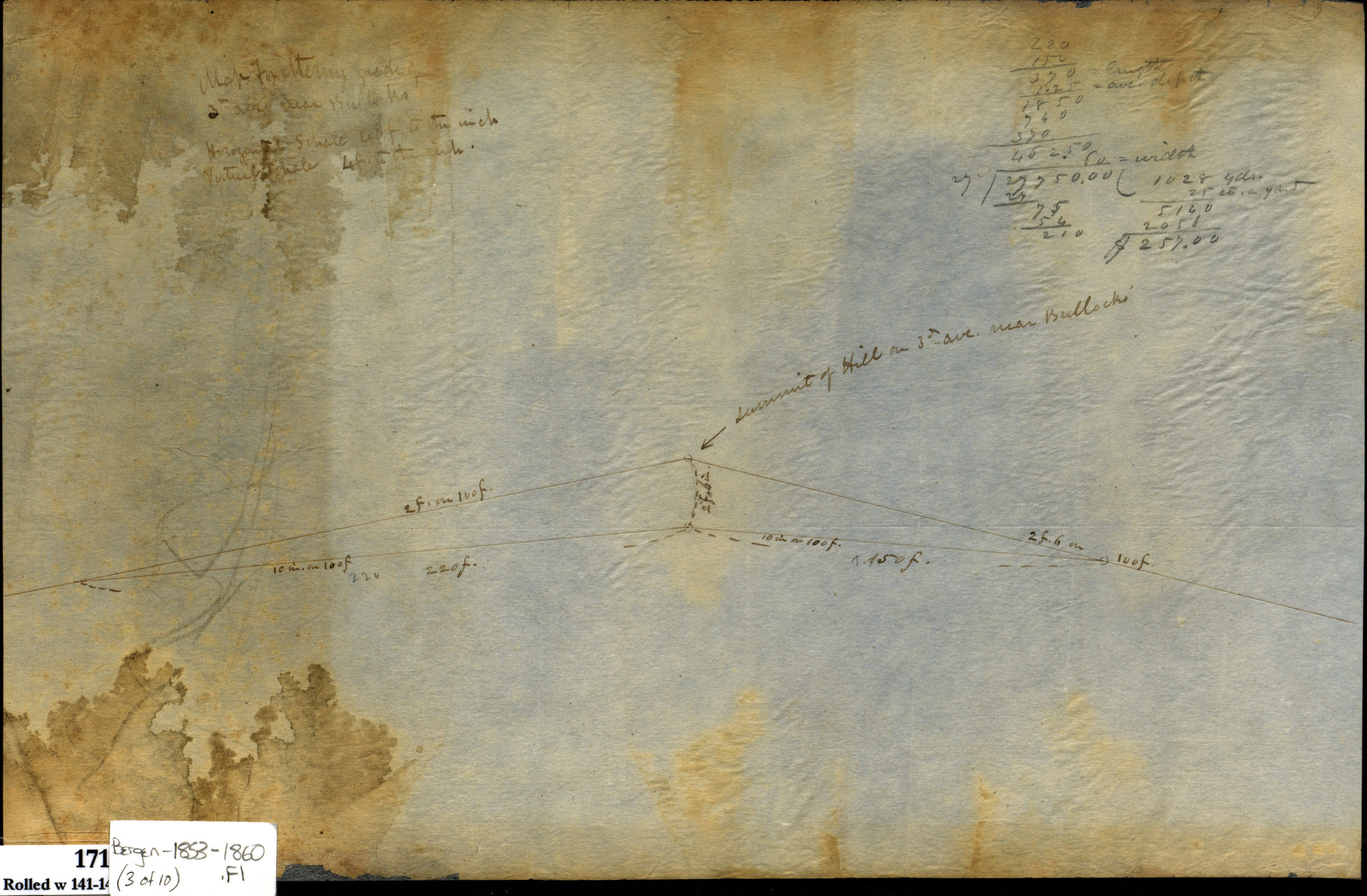


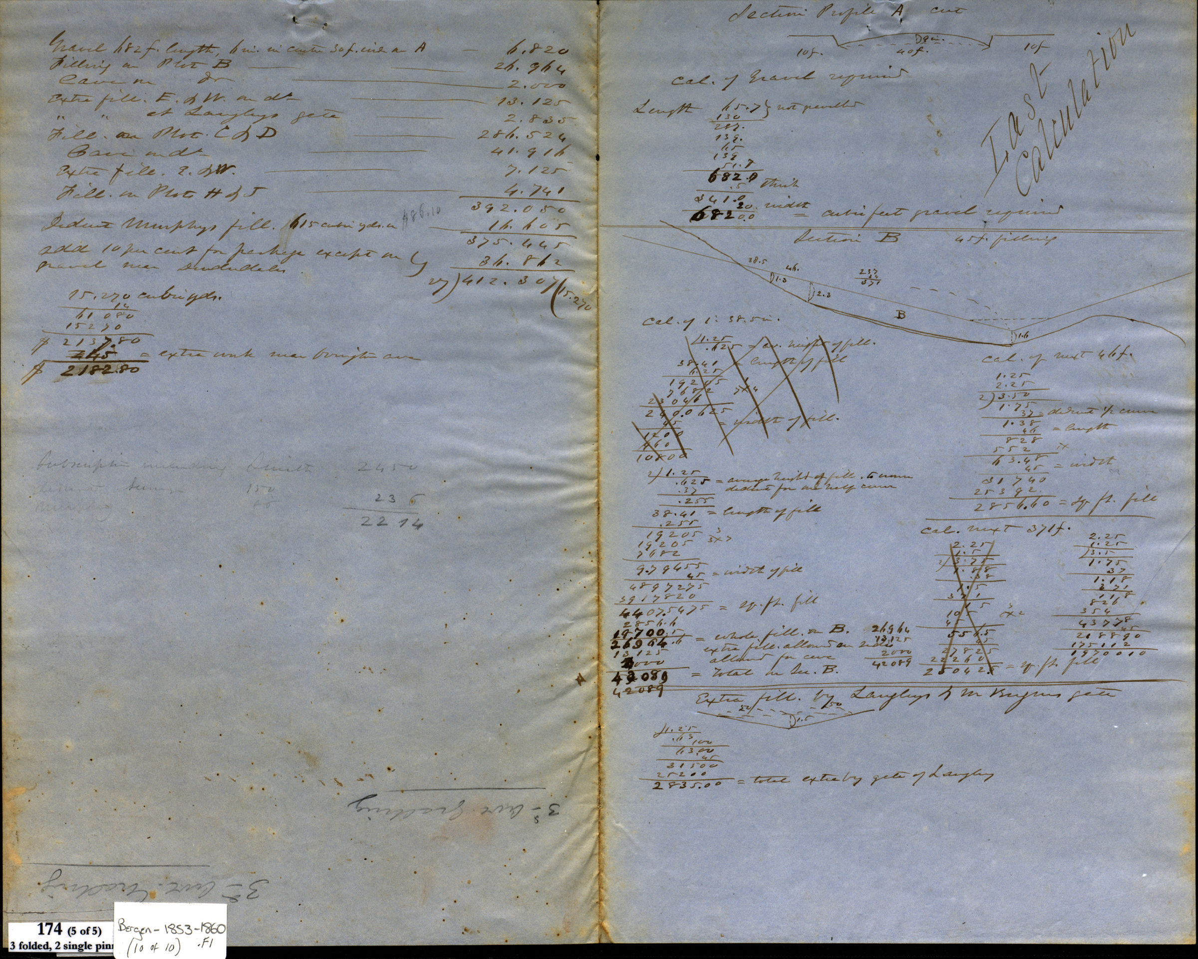
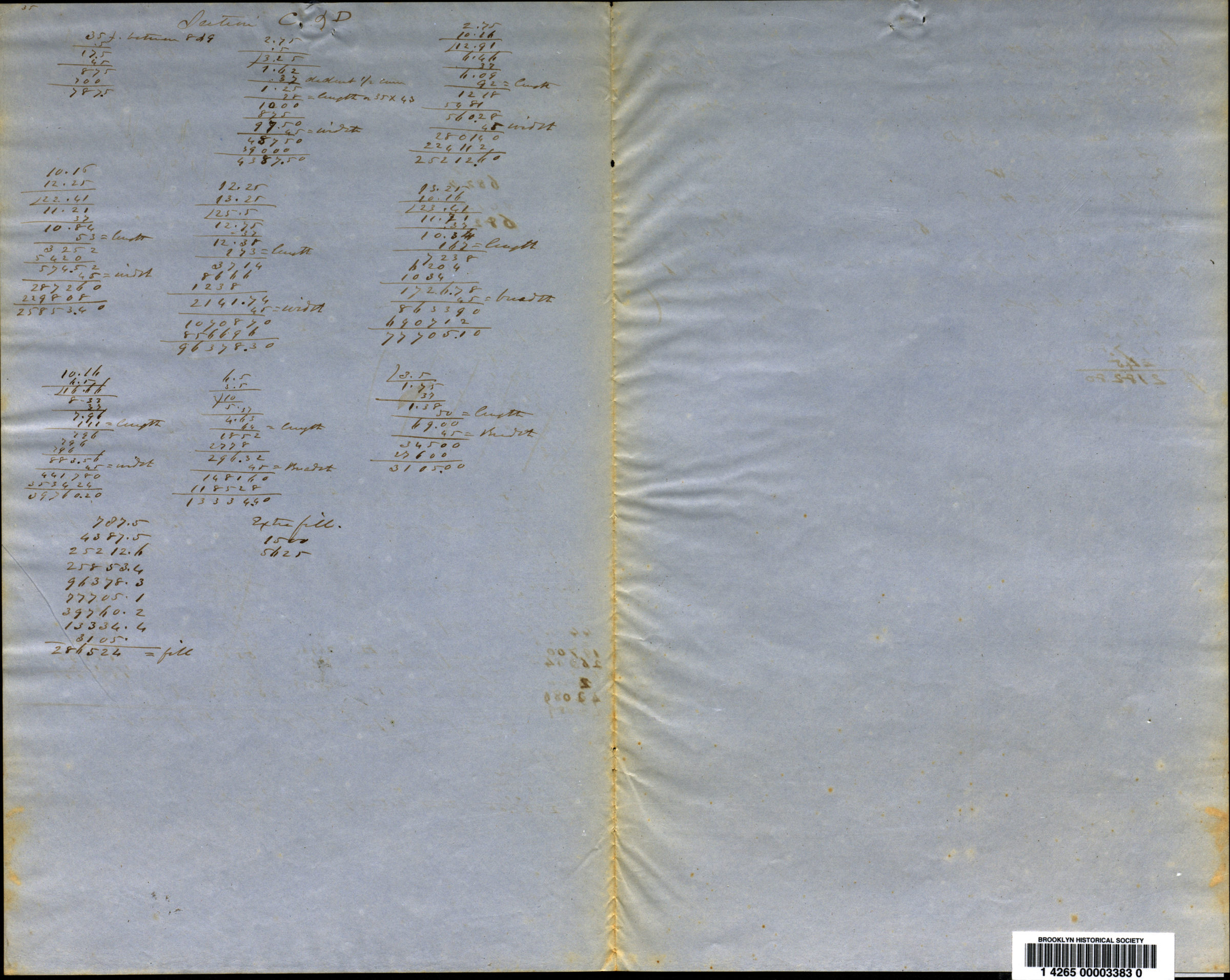
[Profile maps of grade of 3rd Avenue from Brooklyn to Fort Hamilton]
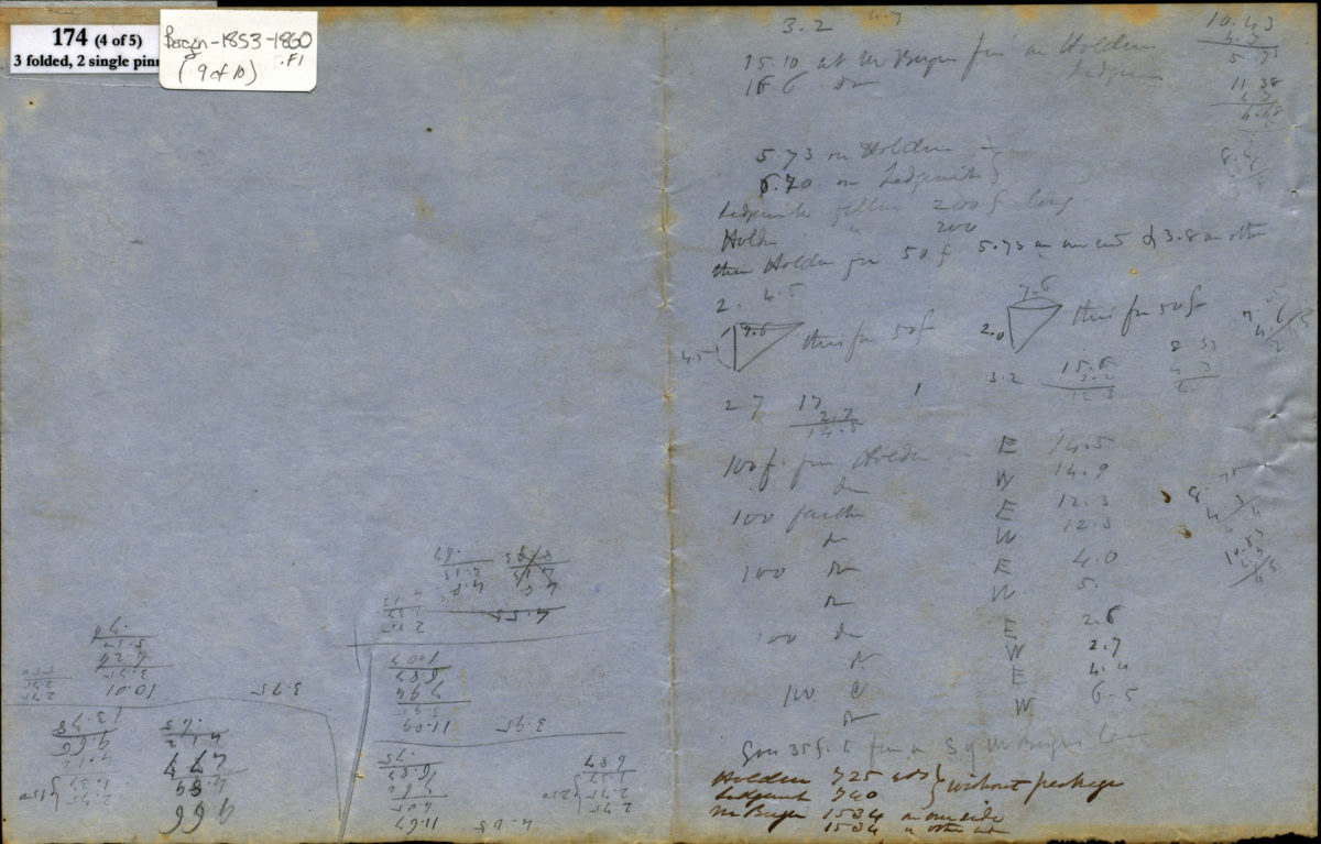
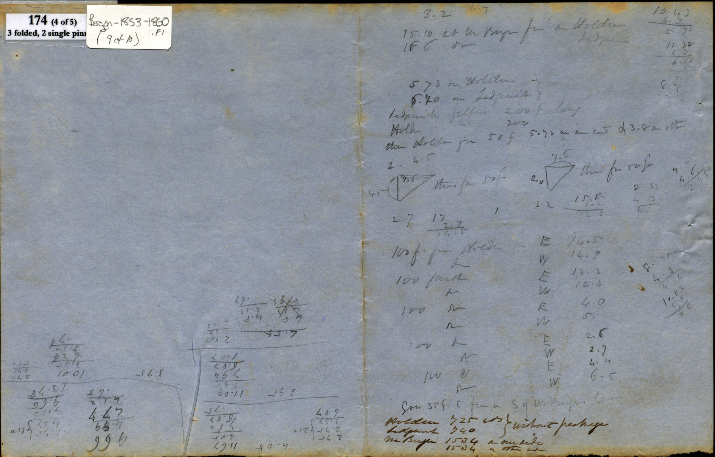
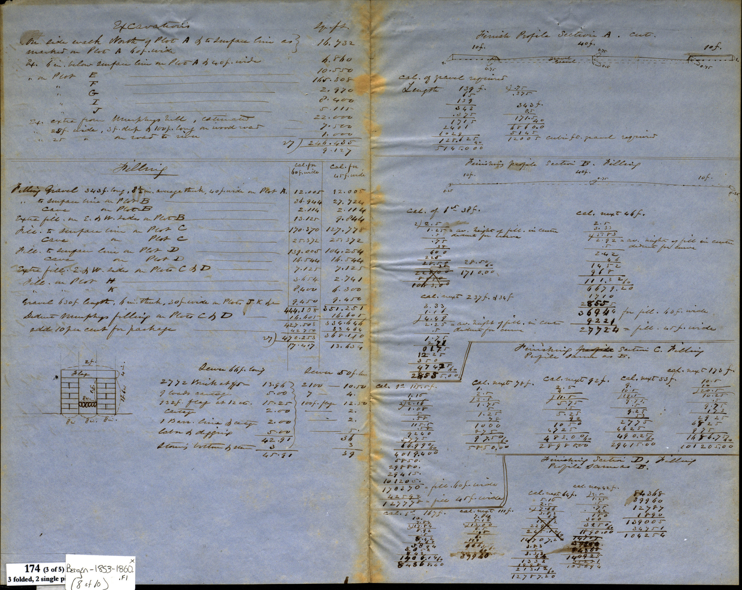
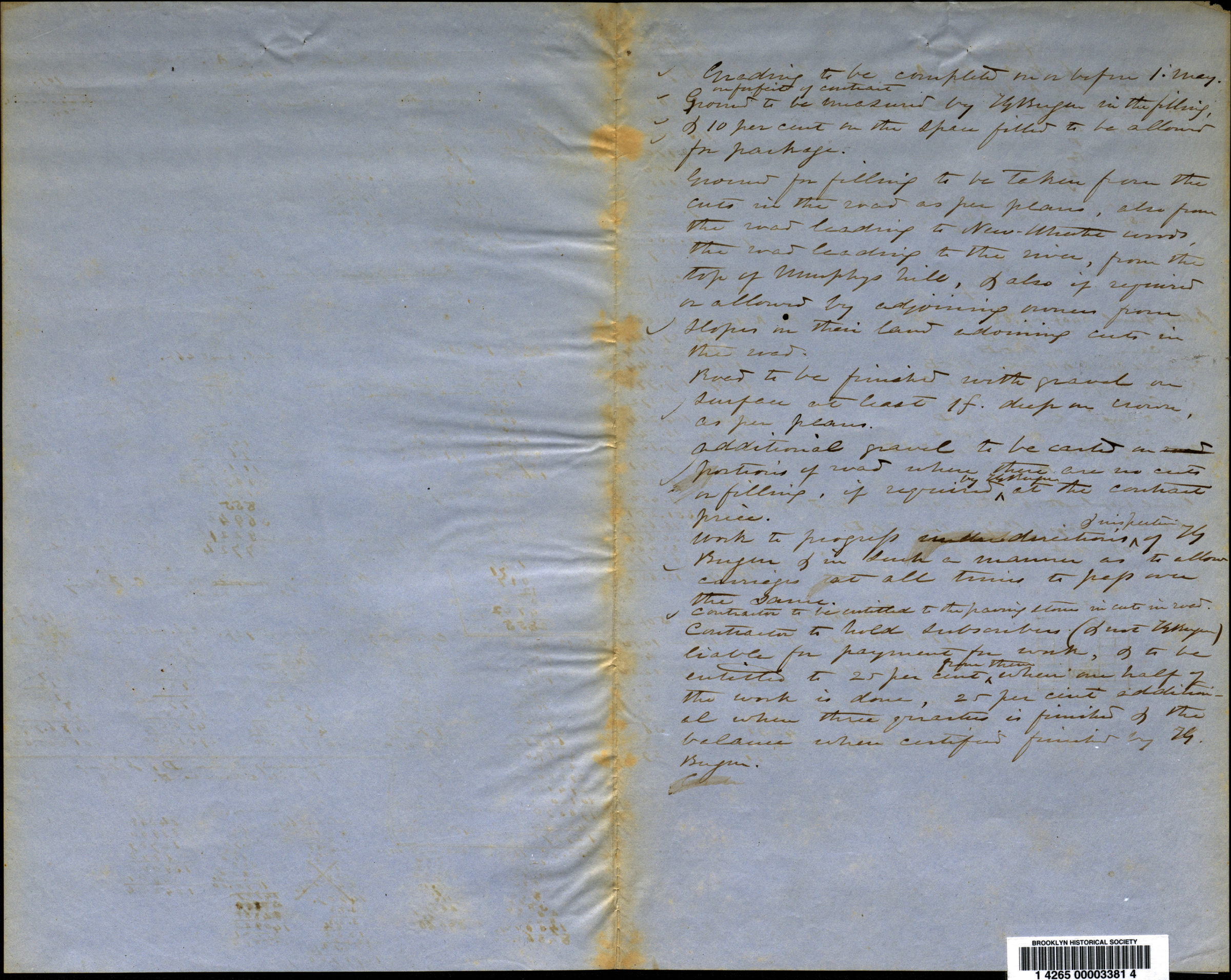
Grade profile maps of 3rd Avenue from the Brooklyn city line to Fort Hamilton in modern-day Sunset Park, Bay Ridge, and the Fort Hamilton section of Bay Ridge. Profile maps show existing and proposed grades, property and names of landowners. Title devised by cataloger. Attributed to Teunis G. Bergen, based on handwriting. In watercolor, ink, and pencil. Maps include notes and calculations. Accompanied by 5 sheets with calculations. Maps found rolled together in BHS archives and cataloged as unit to preserve context. Grade map of 3rd Ave., New Utrecht, s[outh] end, January, 1860. Grade map, 3rd Ave., Brooklyn line to Ft. Hamilton, June 1854. Map for determining grade of 3rd Ave. near Bullocks. Grade map 3rd Ave. from Van Brunts Lane to Ft. Hamilton, 1853. [Grade map of 3rd Avenue, north end]. Maps 1, 2 and 4 oversized and located in 4c.
Subjects
Places
Map area shown
Relation
Full catalog recordSize
23 × 309 cmDownload
Low Resolution Image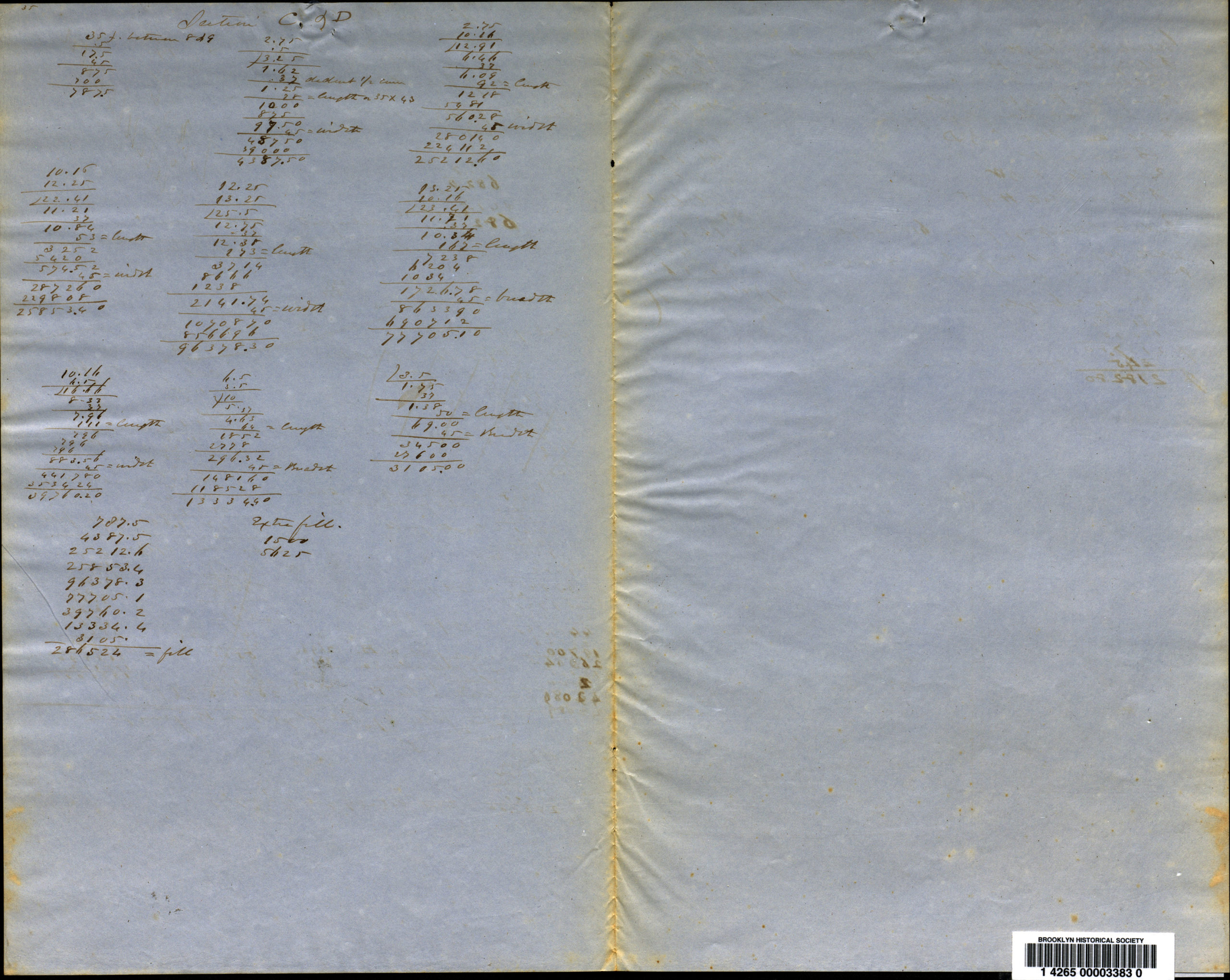
Creator
Bergen, Teunis G.,Publisher
Brooklyn Historical SocietyCitation
[Profile maps of grade of 3rd Avenue from Brooklyn to Fort Hamilton]; , Map Collection, Bergen-1853-1860.Fl; Brooklyn Historical Society.Scale
Scales differ