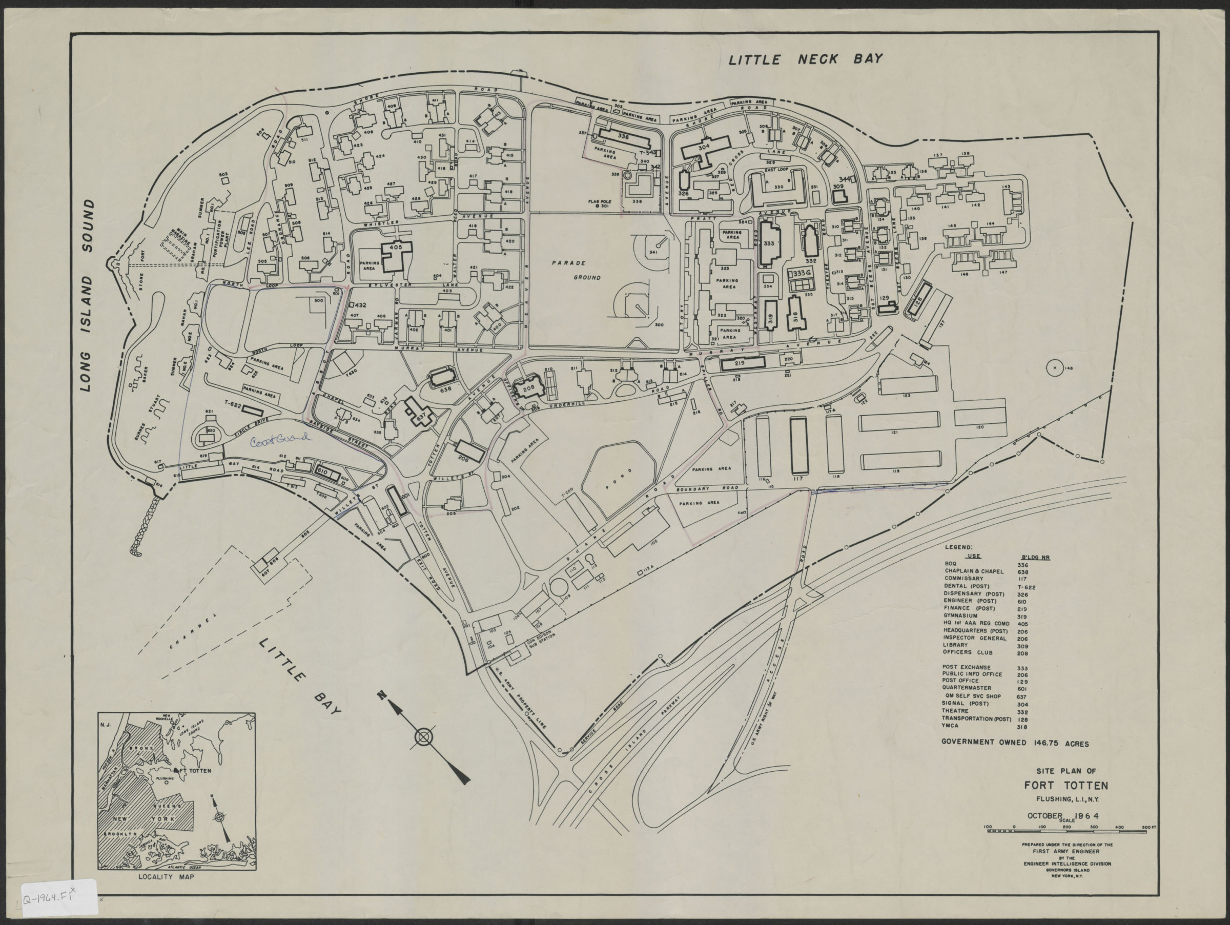
Site plan of Fort Totten, Flushing, L.I., N.Y.: October 1964: prepared under the direction of the First Army Engineer by the Engineer Intelligence Division, Governors Island, N.Y. 1964
Map No. Q-1964.Fl
Includes legend for building use and inset location map.
Map area shown
Genre
Thematic mapsRelation
Full catalog recordSize
44 × 55 cmDownload
Low Resolution Image
Creator
United States; Army.; Engineer Intelligence Division,Publisher
Brooklyn Historical SocietyCitation
Site plan of Fort Totten, Flushing, L.I., N.Y.: October 1964: prepared under the direction of the First Army Engineer by the Engineer Intelligence Division, Governors Island, N.Y.; 1964, Map Collection, Q-1964.Fl; Brooklyn Historical Society.Scale
Scale approximately 1:287Loading zoom image... 