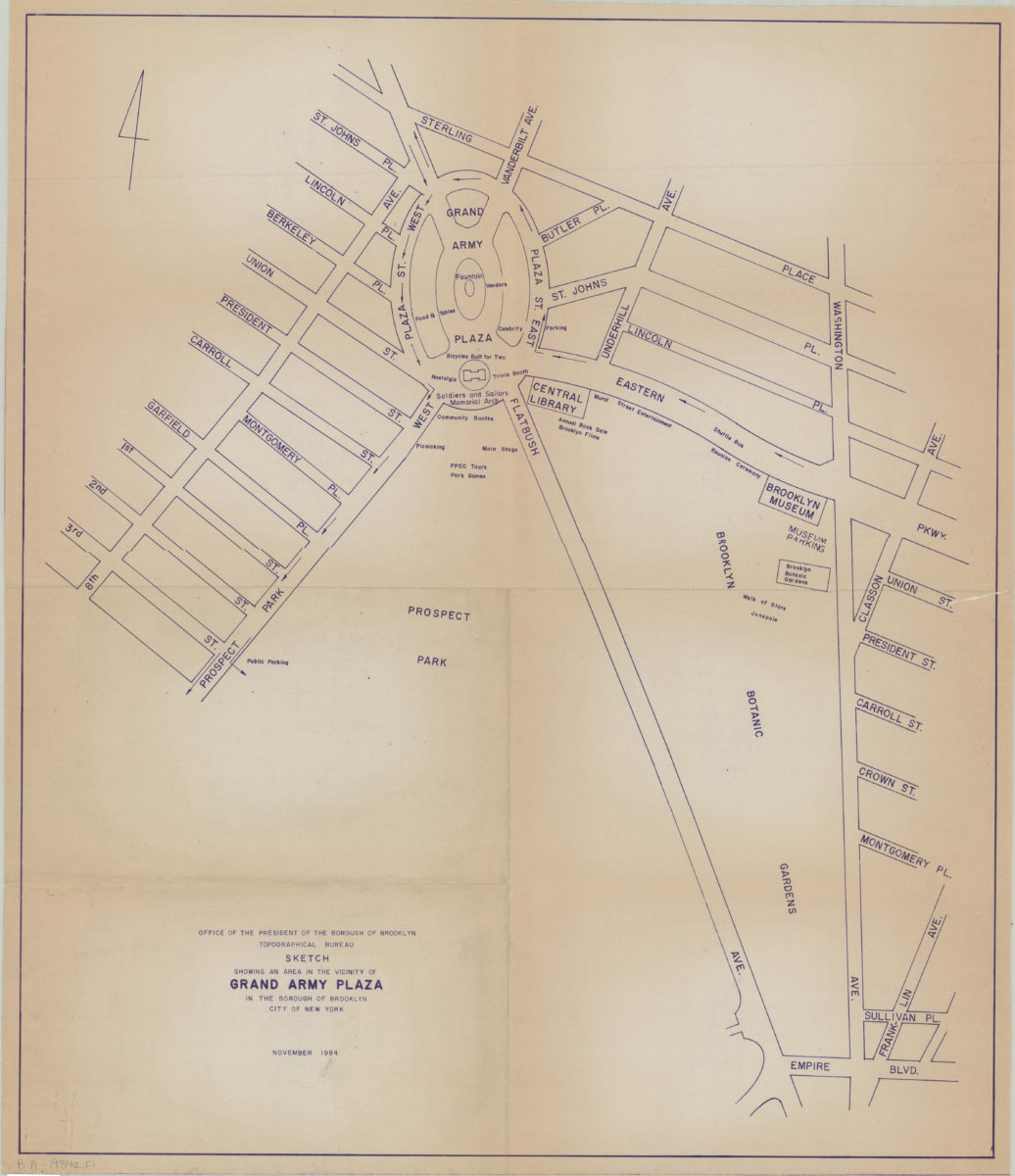
Sketch showing an area in the vicinity of Grand Army Plaza in the Borough of Brooklyn, City of New York Nov-84
Map No. B A-1984a.Fl
Map of Grand Army Plaza and surrounding blocks in modern-day Park Slope, Prospect Heights, and Crown Heights. Shows streets, direction of traffic, public buildings, and monuments. “4”–upper left.
Places
Map area shown
Genre
MapRelation
Full catalog recordSize
77 × 66 cmDownload
Low Resolution Image
Creator
Brooklyn (New York, N.Y.).; Topographical Bureau,Publisher
Brooklyn Historical SocietyCitation
Sketch showing an area in the vicinity of Grand Army Plaza in the Borough of Brooklyn, City of New York; Nov-84, Map Collection, B A-1984a.Fl; Brooklyn Historical Society.Scale
Scale not givenLoading zoom image...