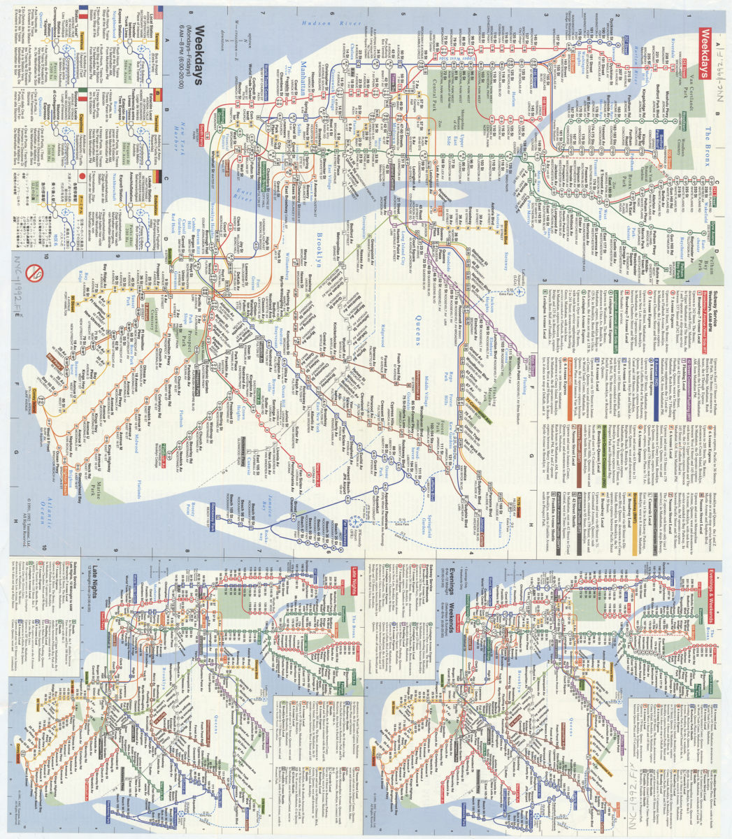
Subway map: the New York subway map = Le plan du métro de New York: the New York subway map is a Tauranac map [1992]
Map No. NYC-1992.Fl
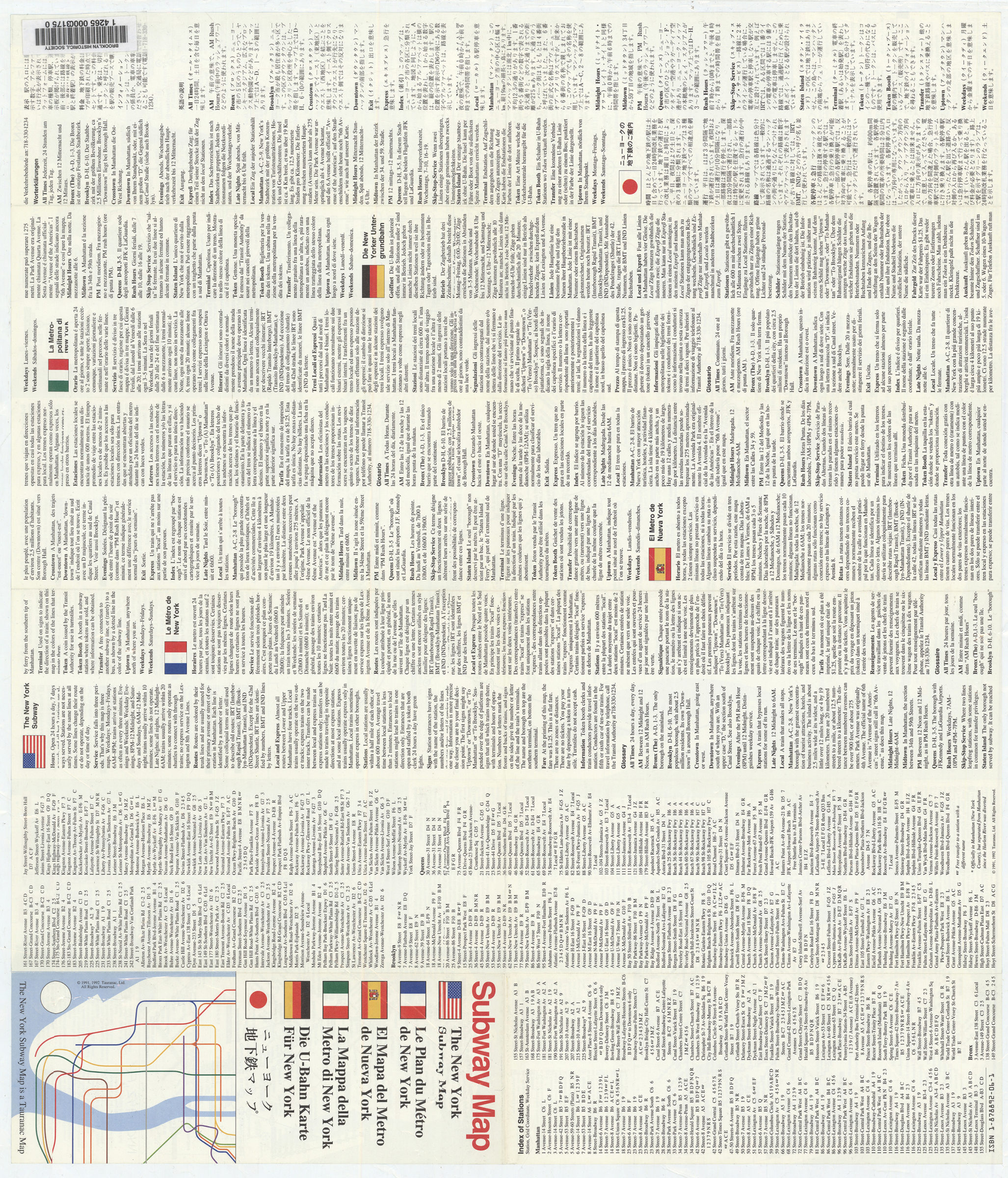
Diagrammatic subway-system map. Includes text in six languages. Panel title. Designed to be folded to 23 x 9 cm. Indexed. Weekdays. Evenings & weekends. Late nights.
Map area shown
Genre
Transportation mapsRelation
Full catalog recordSize
46 × 53 cmDownload
Low Resolution Image
Creator
Tauranac, John,Publisher
Brooklyn Historical SocietyCitation
Subway map: the New York subway map = Le plan du métro de New York: the New York subway map is a Tauranac map; [1992], Map Collection, NYC-1992.Fl; Brooklyn Historical Society.Scale
Not drawn to scaleLoading zoom image...