
[Survey map of Bay Ridge Ave. between 2nd Ave. and 3rd Ave.]. [189?]
Map No. Bergen-[189-?]f.Fl
Covers area in modern-day Bay Ridge. Title devised by cataloger. Likely attributed to Van Brunt Bergen, based on handwriting on piece. Includes notes and calculations.
Map area shown
Genre
Manuscript mapsRelation
Full catalog recordSize
32 × 43 cmDownload
Low Resolution Image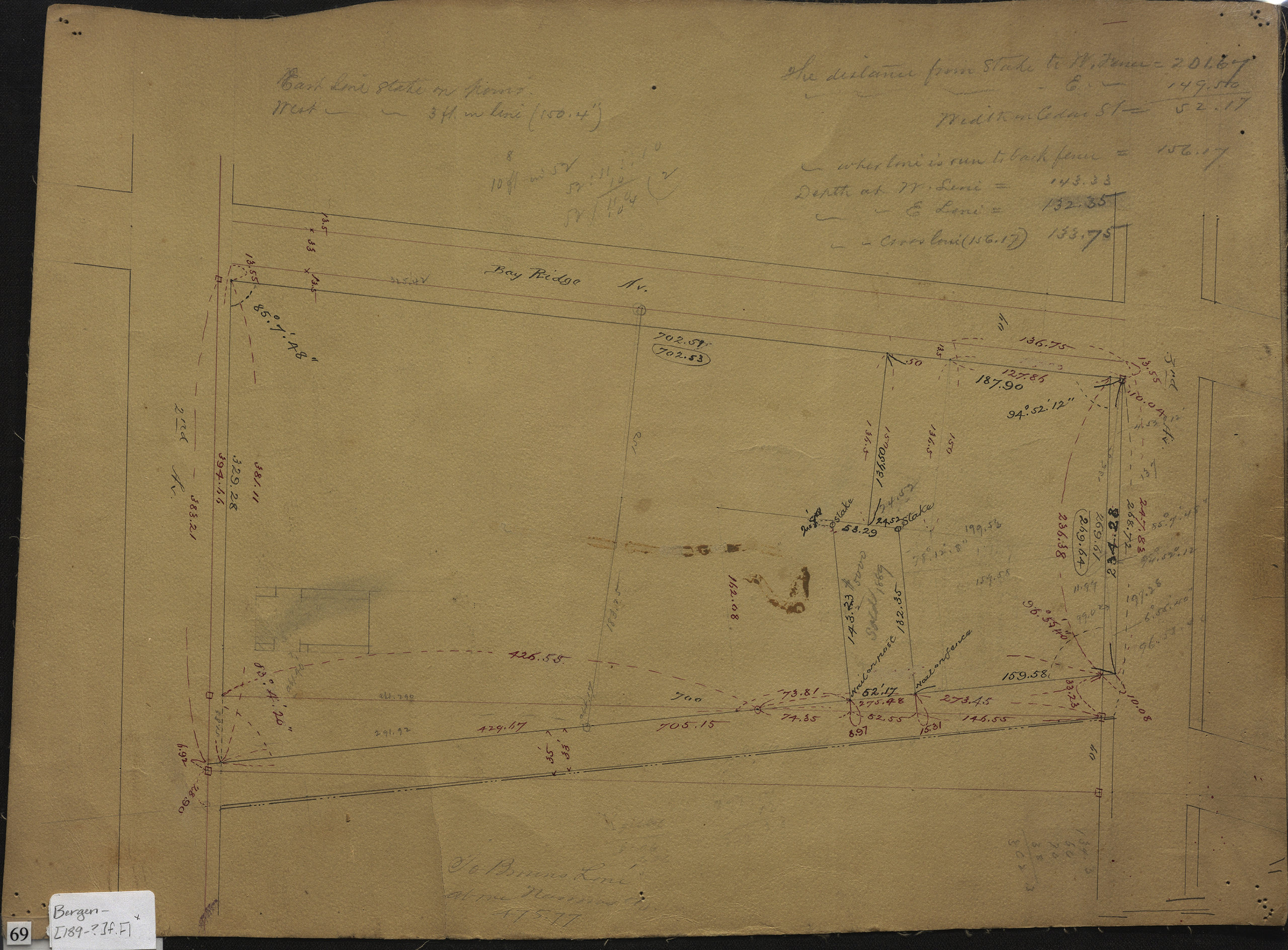
Creator
Bergen, Van Brunt,Publisher
Brooklyn Historical SocietyCitation
[Survey map of Bay Ridge Ave. between 2nd Ave. and 3rd Ave.].; [189?], Map Collection, Bergen-[189-?]f.Fl; Brooklyn Historical Society.Scale
Scale not givenLoading zoom image... 