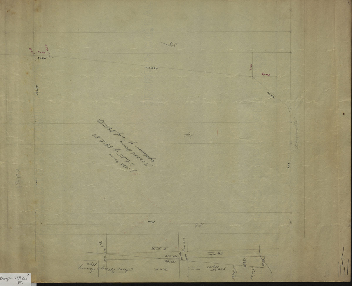
[Survey map of property bounded by 82nd Street, 1st Avenue, 85th Street, and Narrows Avenue] 1892
Map No. Bergen-1892e.Fl
Cadastral survey map of area in modern-day Bay Ridge. Shows property (including dimensions) and initials of landowners. “From Mays survey, 1892.” Title devised by cataloger. Attributed to Van Brunt Bergen, based on handwriting on piece.
Map area shown
Relation
Full catalog recordSize
35 × 43 cmDownload
Low Resolution Image
Creator
Bergen, Van Brunt,Publisher
Brooklyn Historical SocietyCitation
[Survey map of property bounded by 82nd Street, 1st Avenue, 85th Street, and Narrows Avenue]; 1892, Map Collection, Bergen-1892e.Fl; Brooklyn Historical Society.Scale
Scale not givenLoading zoom image...