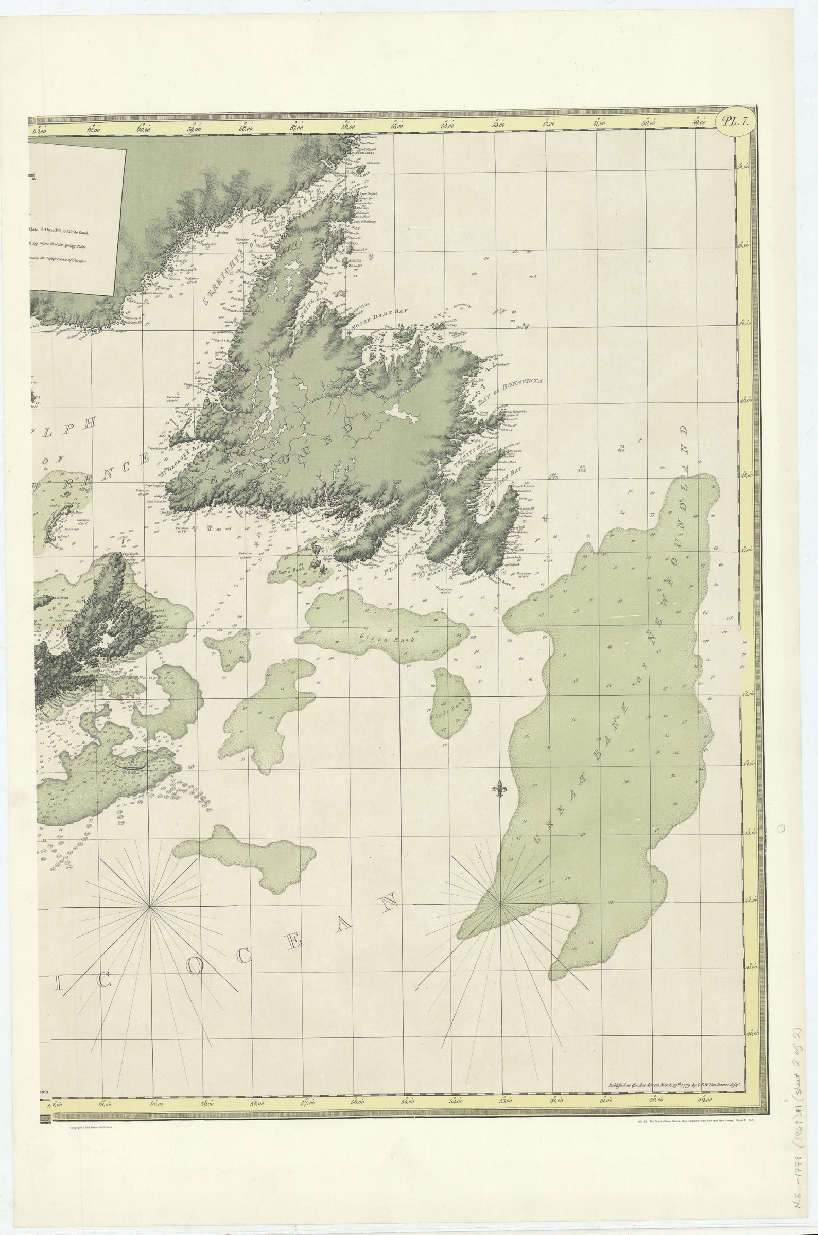
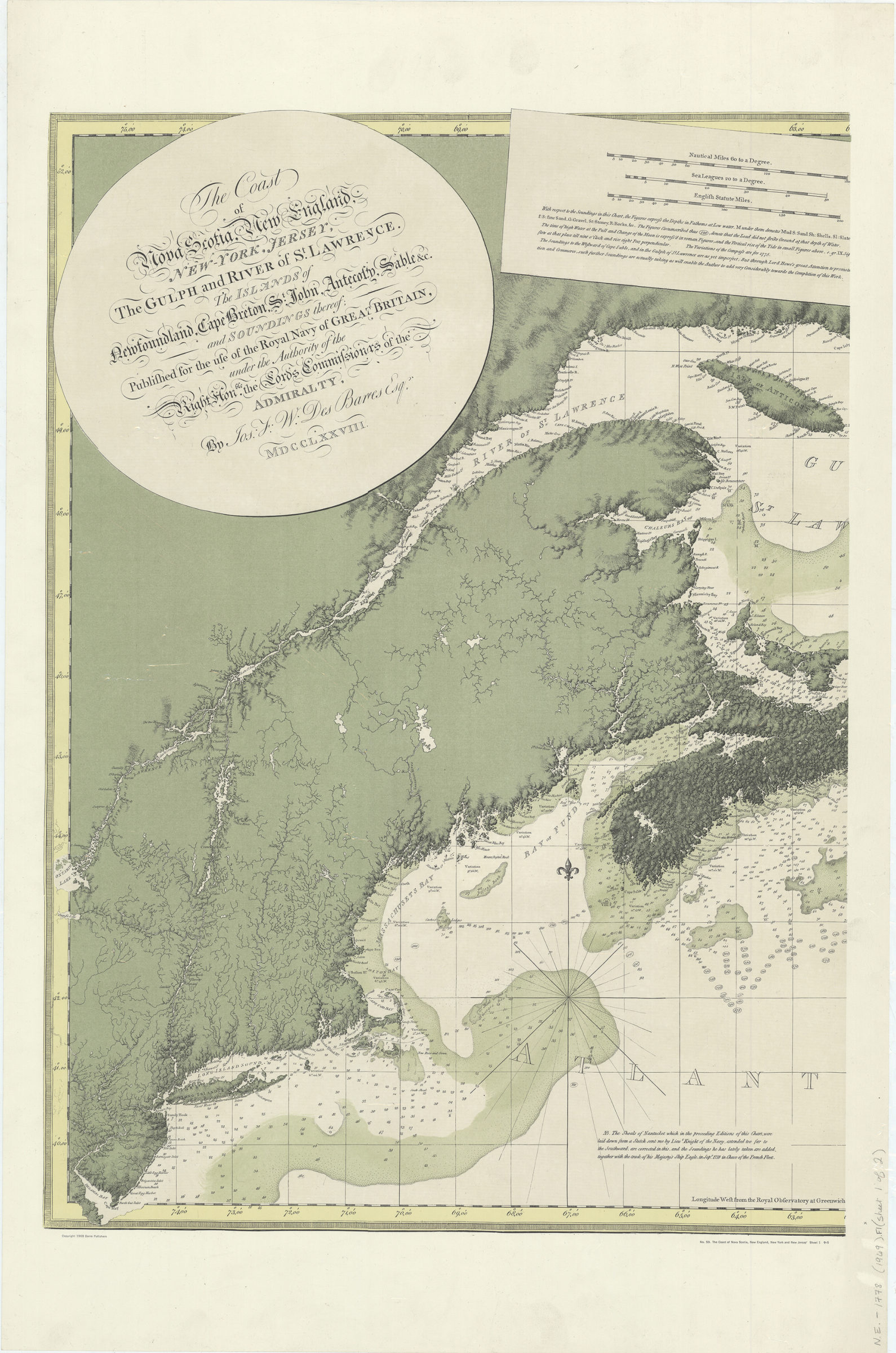
The coast of Nova Scotia, New England, New York, Jersey, the Gulph and River of St. Lawrence, the islands of Newfoundland, Cape Breton, St. John, Anticosti, Sable, etc., and soundings thereof: [ca. 1969]
Map No. N.E.-1778 (1969).Fl
Facsimile. Depths shown by bathymetric tints and soundings. Prime meridian: Greenwich. Includes text. “No. 59.”
Map area shown
Relation
Full catalog recordSize
72 × 106 cmDownload
Low Resolution Image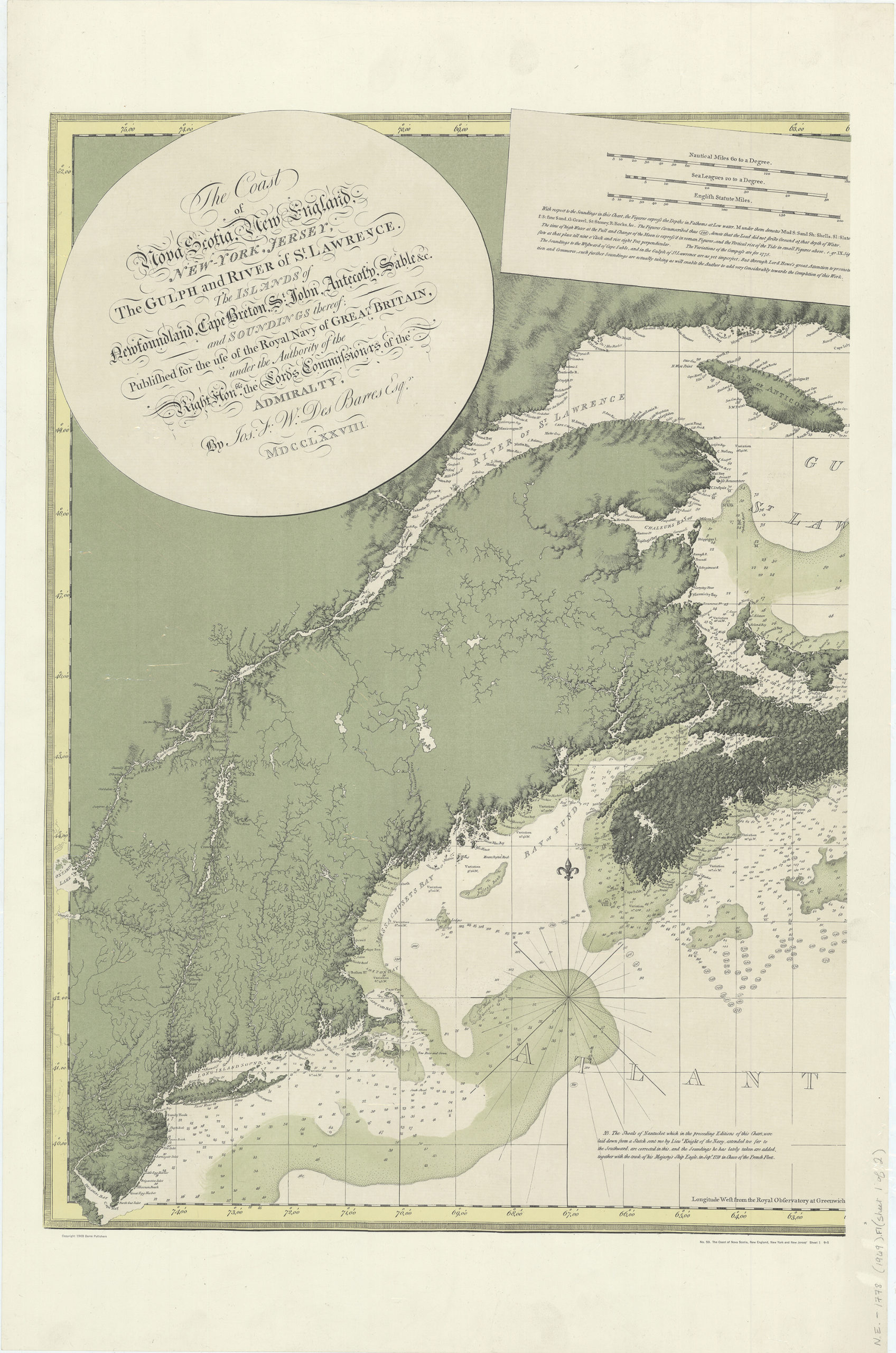
Creator
Des Barres, Joseph F. W.,Publisher
Brooklyn Historical SocietyCitation
The coast of Nova Scotia, New England, New York, Jersey, the Gulph and River of St. Lawrence, the islands of Newfoundland, Cape Breton, St. John, Anticosti, Sable, etc., and soundings thereof:; [ca. 1969], Map Collection, N.E.-1778 (1969).Fl; Brooklyn Historical Society.Scale
Scale [ca. 1:2,250,000]Loading zoom image... 