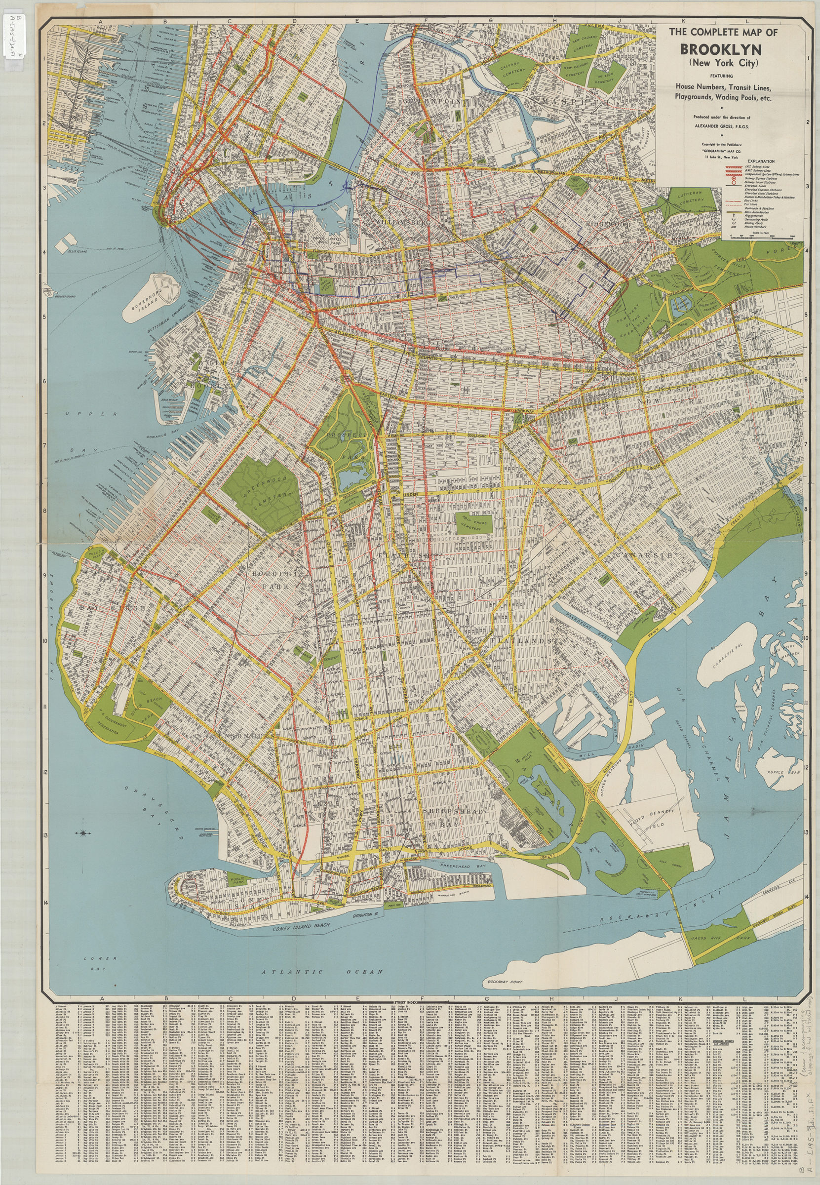
The complete map of Brooklyn (New York City): featuring house numbers, transit lines, playgrounds, wading pools, etc.: produced under the direction of Alexander Gross [195?]
Map No. B A-[195-?]d.Fl c.2;B A-[195-?]d.Fl
Includes folded street index in cover. BHS copy 1 has pen markings on map.
Map area shown
Relation
Full catalog recordSize
83 × 64 cmDownload
Low Resolution Image
Creator
Geographia Map Company,Publisher
Brooklyn Historical SocietyCitation
The complete map of Brooklyn (New York City): featuring house numbers, transit lines, playgrounds, wading pools, etc.: produced under the direction of Alexander Gross; [195?], Map Collection, B A-[195-?]d.Fl c.2;B A-[195-?]d.Fl; Brooklyn Historical Society.Scale
Scale [ca. 1:18,000]Loading zoom image... 