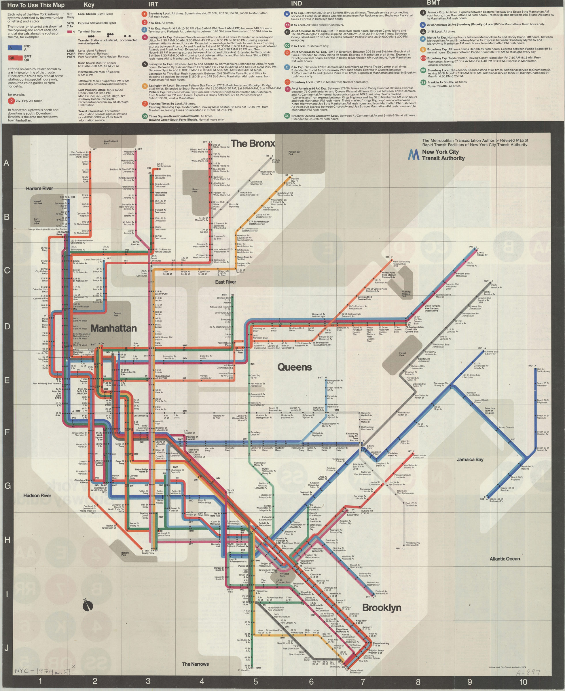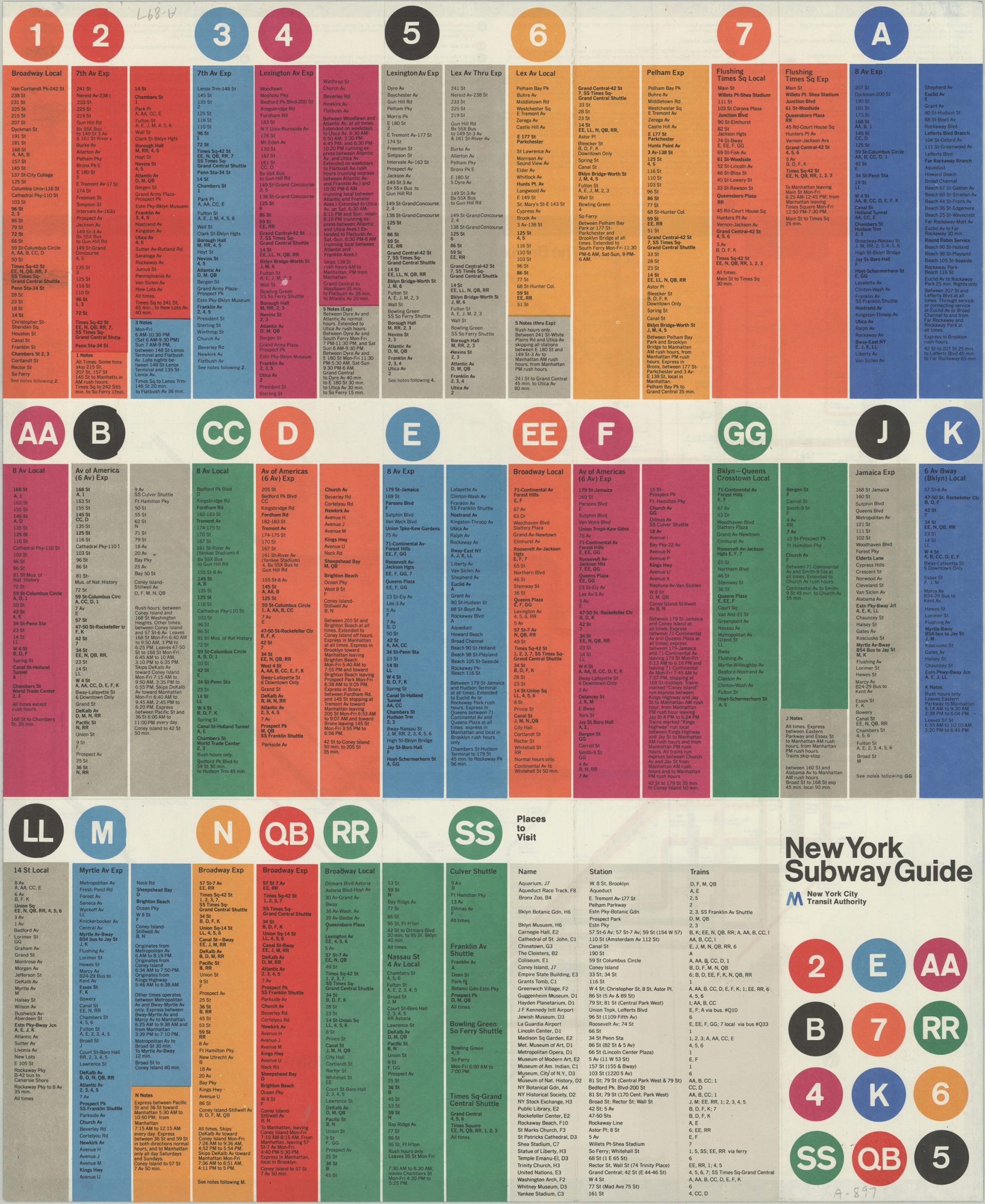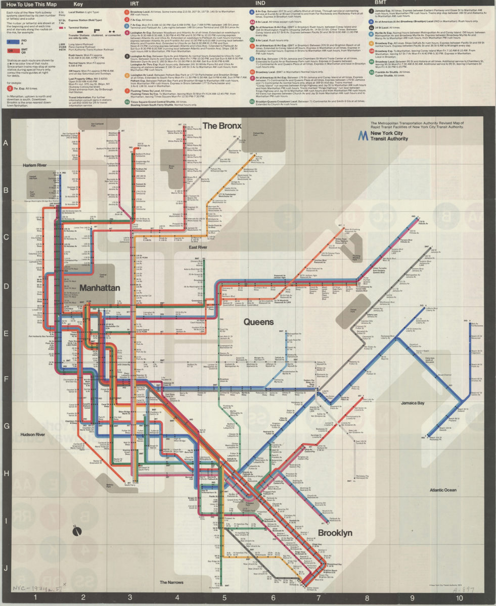

The Metropolitan Transportation Authority revised map of rapid transit facilities of New York City Transit Authority: New York City Transit Authority [ca. 1974]
Map No. NYC-1974a.Fl
Map area shown
Genre
Transportation mapsDownload
Low Resolution ImageCitation
The Metropolitan Transportation Authority revised map of rapid transit facilities of New York City Transit Authority: New York City Transit Authority; , , ; Brooklyn Historical Society.Loading zoom image... 
