
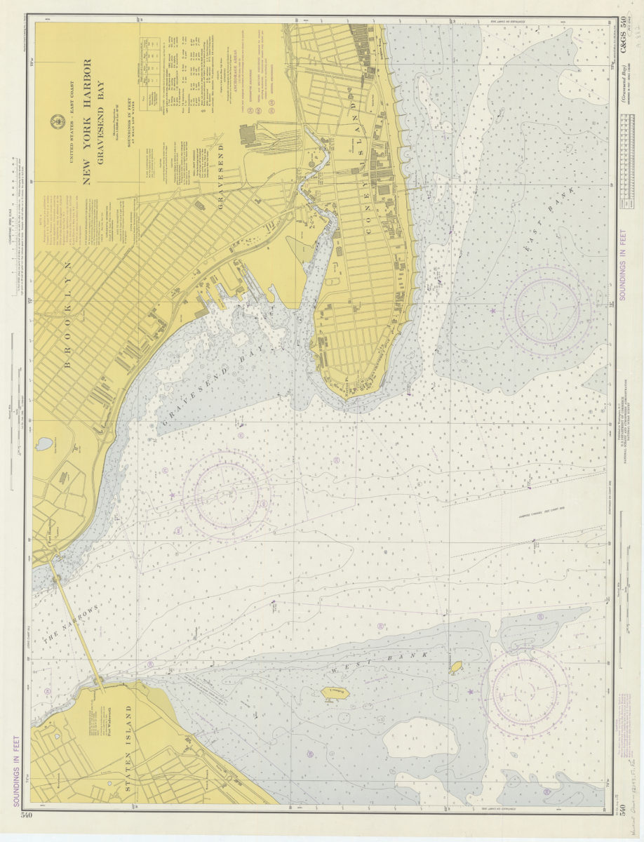
United States – East coast, New York Harbor, Gravesend Bay: National Ocean Survey 1974
Map No. Nautical Chart-12143.Fl.Folio
Depths shown by isolines and soundings. “Soundings in feet.” Includes text and tidal information. Selected land features shown. “C & GS 540 (N.O. 12143).”
Map area shown
Relation
Full catalog recordSize
68 × 93 cmDownload
Low Resolution ImageCreator
National Ocean Survey,Publisher
Brooklyn Historical SocietyCitation
United States – East coast, New York Harbor, Gravesend Bay: National Ocean Survey; 1974, Map Collection, Nautical Chart-12143.Fl.Folio; Brooklyn Historical Society.Scale
Scale 1:10,000 at lat. 40Loading zoom image... 
