
United States–east coast, West Quoddy Head to New York: National Ocean Survey 1974
Map No. Nautical chart-13006.Fl.Folio
Depths shown by isolines and soundings. “Soundings in fathoms.” “For offshore navigation only.” “13006 (formerly C&GS 70).” Includes text and table for new chart numbering system.
Map area shown
Relation
Full catalog recordSize
84 × 110 cmDownload
Low Resolution Image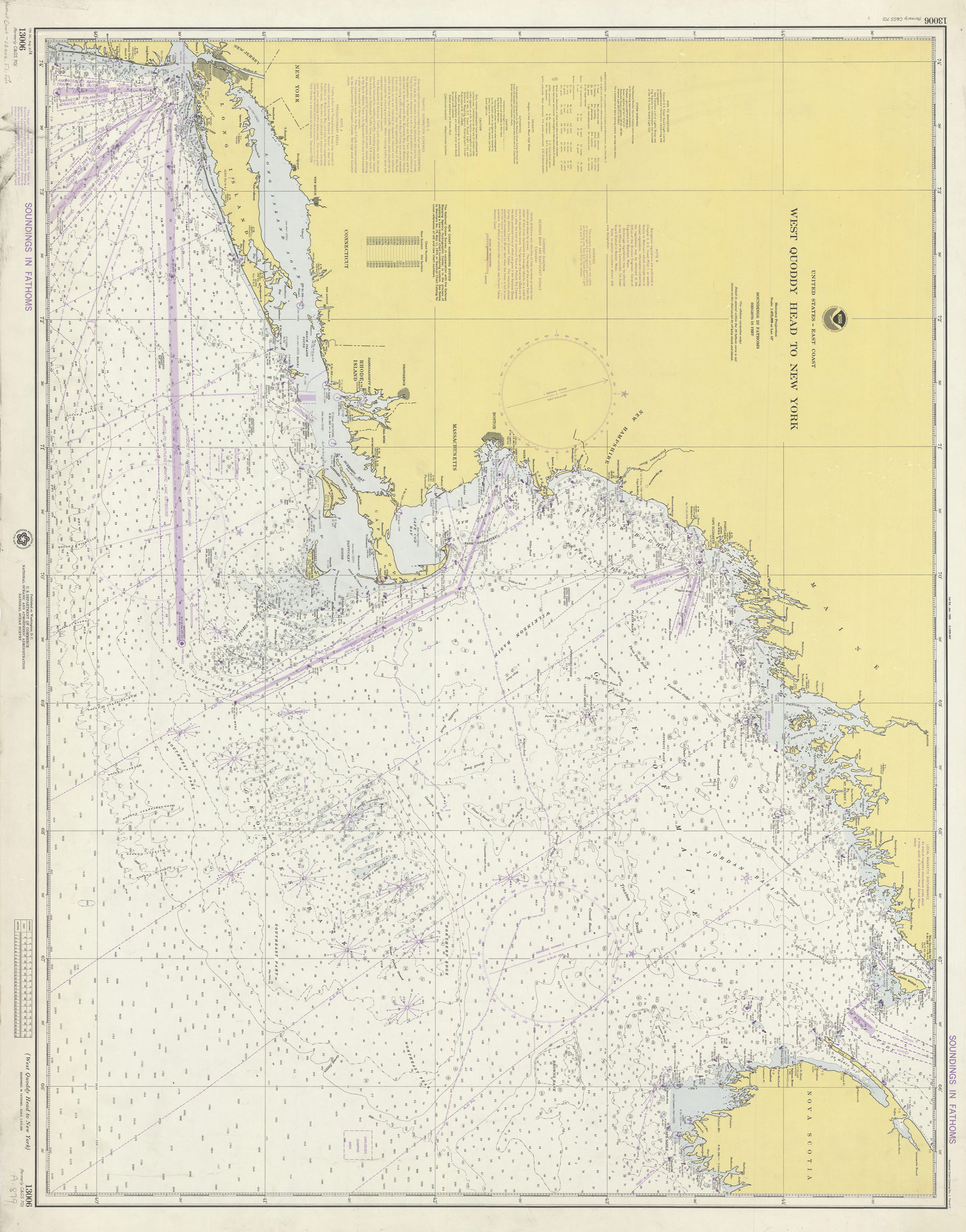
Creator
National Ocean Survey,Publisher
Brooklyn Historical SocietyCitation
United States–east coast, West Quoddy Head to New York: National Ocean Survey; 1974, Map Collection, Nautical chart-13006.Fl.Folio; Brooklyn Historical Society.Scale
Scale 1:675,000 at Lat. 4Loading zoom image... 