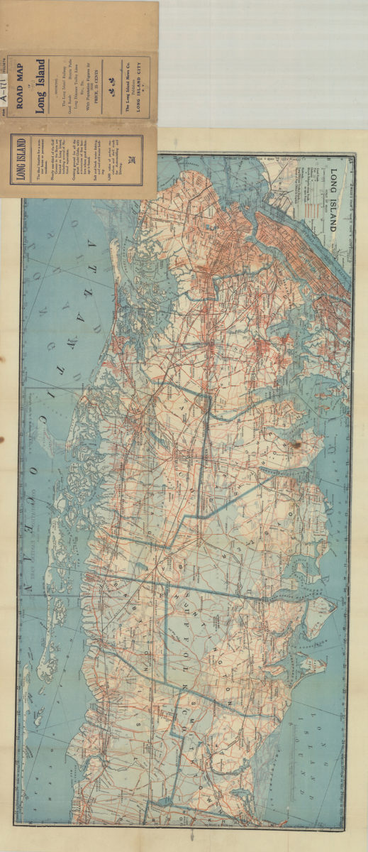
Road map of Long Island [1910; 1906]
Map No. L.I.-1910a.Fl
Road map shows roads, bicycle side paths, railroads and long-distance trolley lines. Cover title. “Copyright, 1906, C.S. Hammond & Co., N.Y.” “With population figures for 1910.” Includes table of distances from Long Island City inside cover.
Map area shown
Genre
Road mapsRelation
Full catalog recordSize
39 × 154 cmDownload
Low Resolution Image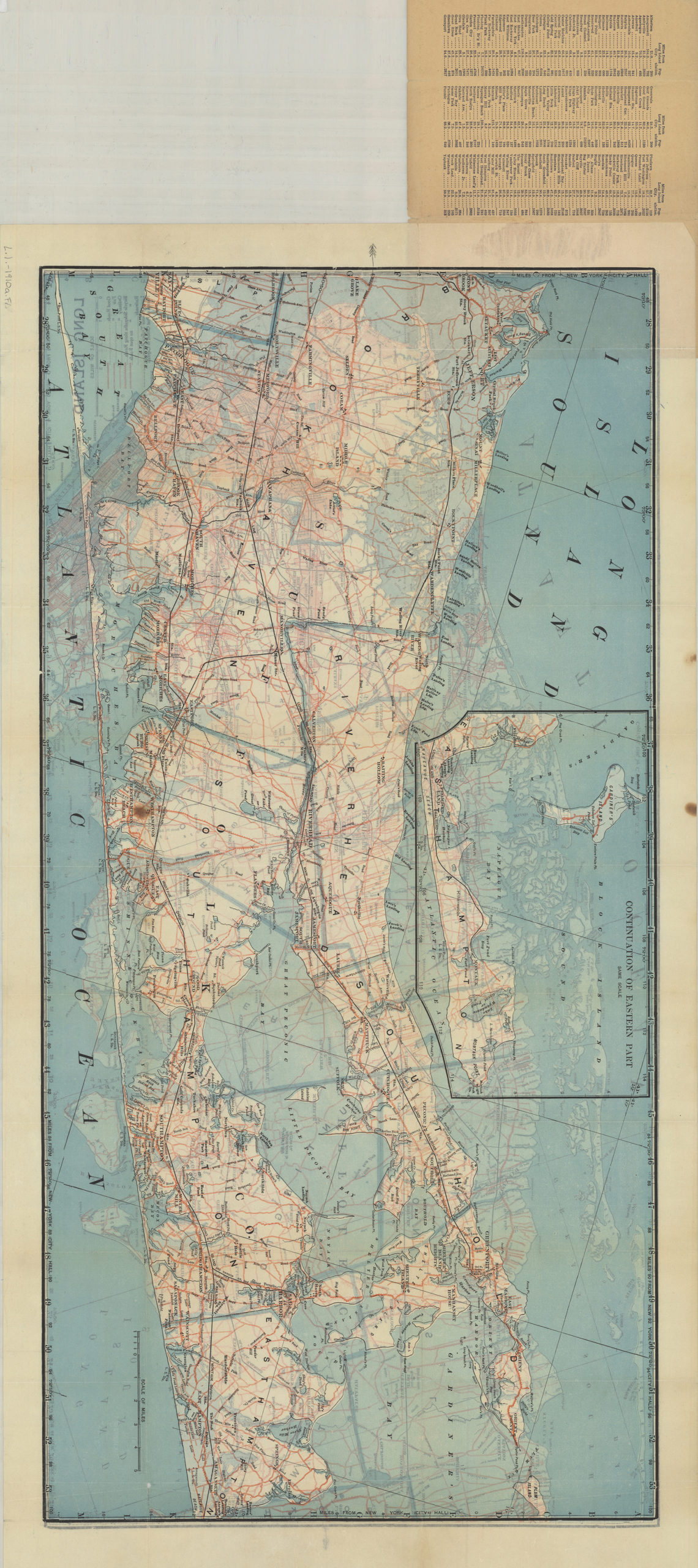
Creator
C.S. Hammond & Company,Publisher
Brooklyn Historical SocietyCitation
Road map of Long Island; [1910; 1906], Map Collection, L.I.-1910a.Fl; Brooklyn Historical Society.Scale
Scale approximately 1:109Loading zoom image...