Center for Brooklyn History
Map Collections
Search
About
Othmer Library & Archives
Submit search query
Refine 4 records
Clear filters
2
Location
Bath Beach (New York, N.Y.)
8
Bensonhurst (New York, N.Y.)
17
Brighton Beach (New York, N.Y.)
4
Brooklyn (New York, N.Y.)
891
Brownsville (New York, N.Y.)
10
Coney Island (New York, N.Y.)
22
East Flatbush (New York, N.Y.)
23
Flatlands (New York, N.Y.)
19
Gravesend (New York, N.Y.)
25
Kings Highway (New York, N.Y.)
1
Manhattan Beach (New York, N.Y.)
2
Midwood (New York, N.Y.)
9
Sea Gate (New York, N.Y.)
7
Sheepshead Bay (New York, N.Y.)
13
Subject
Election districts
36
Highway planning
2
Landowners
434
Real property
619
Roads
117
Date
20th Century
469
or enter range:
from
to
Genres
Pictorial maps
38
Thematic maps
60
Zoning maps
55
Sort by:
Date (earliest)
Date (most recent)
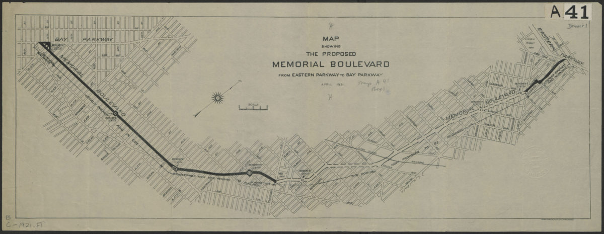
Map showing the proposed Memorial Boulevard from Eastern Parkway to Bay Parkway, April 1921
Map showing the proposed Memorial Boulevard from Eastern Parkway to Bay Parkway, April 1921
[1921]
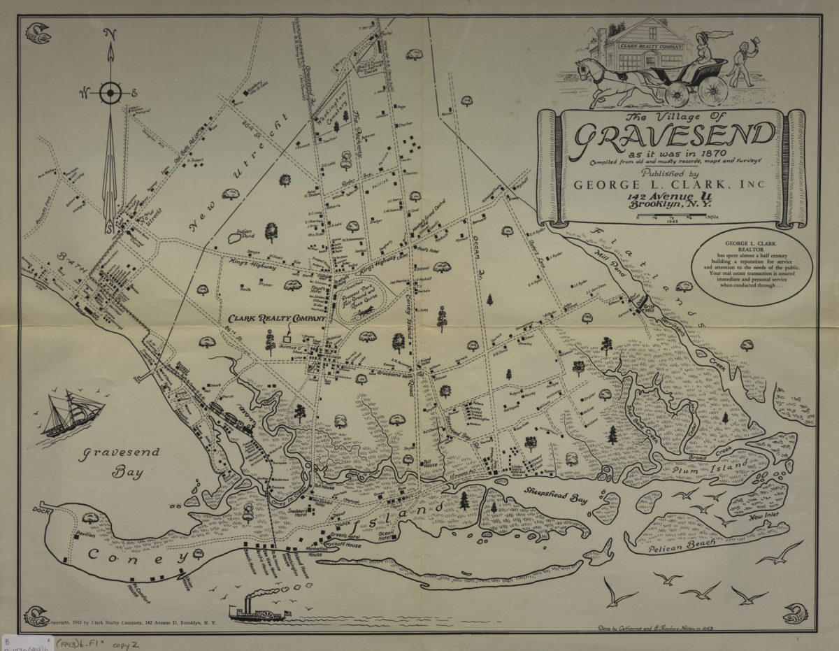
The village of Gravesend as it was in 1870: compiled from old and musty records, maps and surveys: done by Catherine and E. Theodore Nelson in 1943
The village of Gravesend as it was in 1870: compiled from old and musty records, maps and surveys: done by Catherine and E. Theodore Nelson in 1943
[ca. 1943]
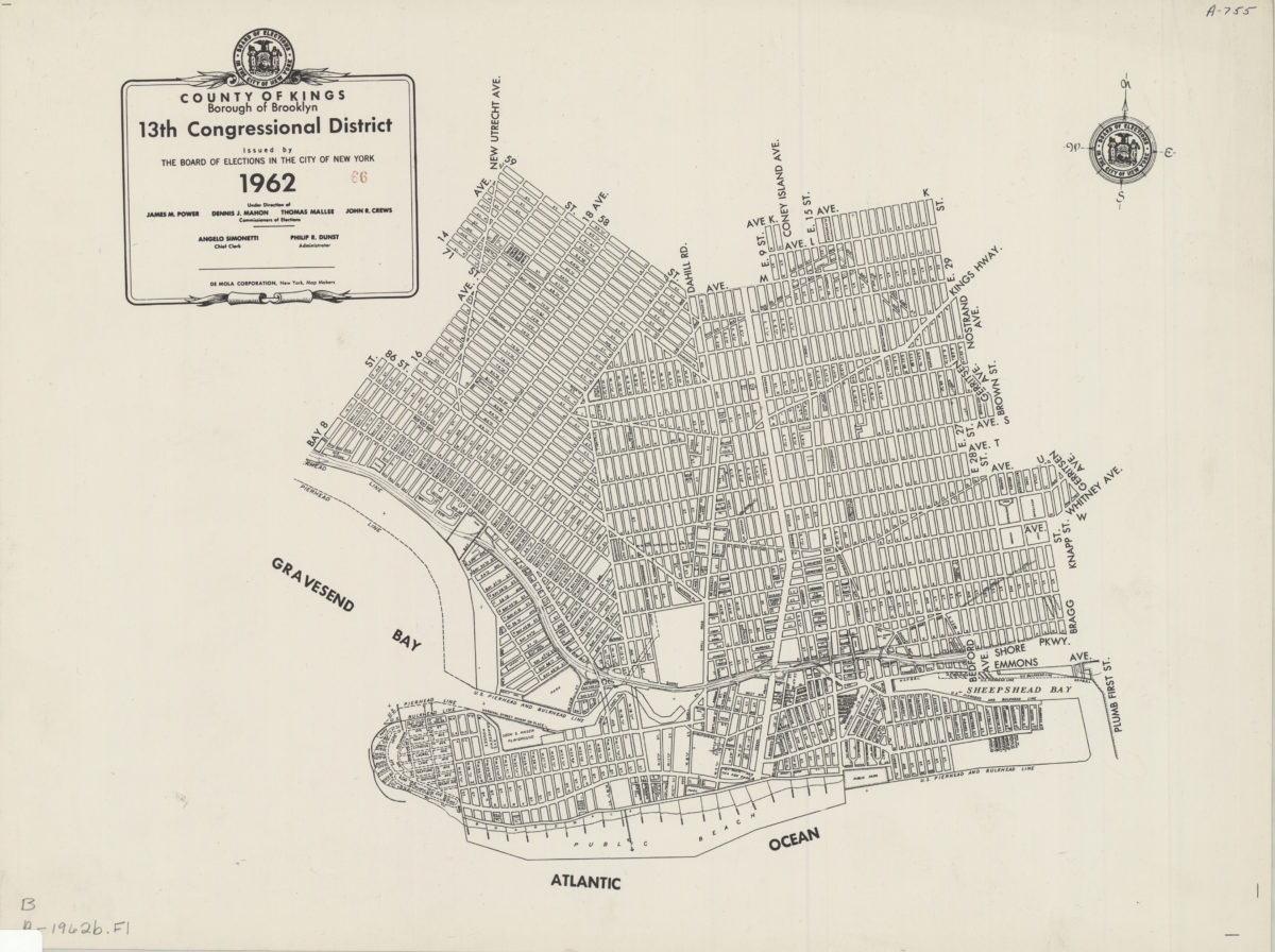
County of Kings, Borough of Brooklyn, 13th Congressional District: issued by the Board of Elections in the City of New York
County of Kings, Borough of Brooklyn, 13th Congressional District: issued by the Board of Elections in the City of New York
1962
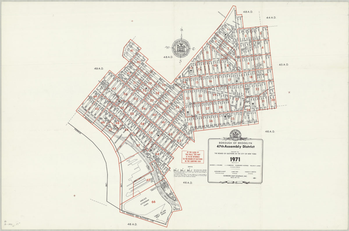
Borough of Brooklyn 47th Assembly District, 1971: issued by the Board of Elections in the City of New York
Borough of Brooklyn 47th Assembly District, 1971: issued by the Board of Elections in the City of New York
1971