Center for Brooklyn History
Map Collections
Search
About
Othmer Library & Archives
Submit search query
Refine 3 records
Clear filter
1
Location
Fort Montgomery State Historic Site (Highlands, N.Y.)
1
Hudson Highlands (N.Y.)
1
Hudson River (N.Y. and N.J.)
7
Manhattan (New York, N.Y.)
120
New York (N.Y.)
164
New York (State)
95
New York Harbor (N.Y. and N.J.)
16
Subject
Date
18th Century
12
19th Century
945
20th Century
469
or enter range:
from
to
Genres
Cadastral maps
597
Early maps
35
Early works
3
Facsimiles
1
Manuscript maps
365
Pictorial maps
38
Sort by:
Date (earliest)
Date (most recent)
A plan of the city of New-York & its environs: to Greenwich, on the North or Hudsons River, and to Crown Point, on the East or Sound River, shewing the several streets, publick buildings, docks, fort & battery,
A plan of the city of New-York & its environs: to Greenwich, on the North or Hudsons River, and to Crown Point, on the East or Sound River, shewing the several streets, publick buildings, docks, fort & battery,
1775
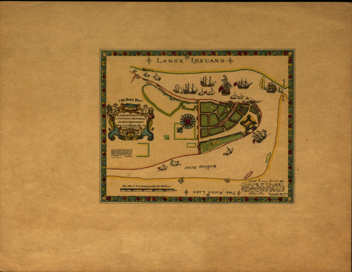
A description of the towne of Mannados or New Amsterdam: as it was in September 1661 lying in latitude 40 de. and 40 m. anno Domini 1664
A description of the towne of Mannados or New Amsterdam: as it was in September 1661 lying in latitude 40 de. and 40 m. anno Domini 1664
[1897]
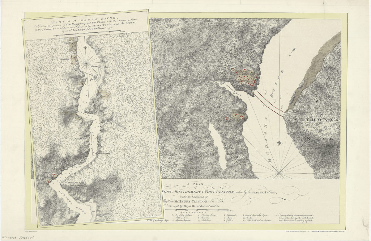
A plan of Fort Montgomery & Fort Clinton, taken by His Majesty’s forces, under the command of Maj. Genl. Sir Henry Clinton, K: B: survey’d by Major Holland, Survr. Genl. &c
A plan of Fort Montgomery & Fort Clinton, taken by His Majesty’s forces, under the command of Maj. Genl. Sir Henry Clinton, K: B: survey’d by Major Holland, Survr. Genl. &c
[1968]