Center for Brooklyn History
Map Collections
Search
About
Othmer Library & Archives
Submit search query
Refine 2 records
Clear filters
3
Location
Brooklyn (New York, N.Y.)
891
Bushwick (New York, N.Y.)
20
Jamaica Bay (N.Y.)
5
Newtown (New York, N.Y.)
1
Queens (New York, N.Y.)
83
Rockaway (New York, N.Y.)
1
Subject
Coasts
4
Date
19th Century
945
or enter range:
from
to
Genres
Manuscript maps
365
Nautical charts
30
Sort by:
Date (earliest)
Date (most recent)
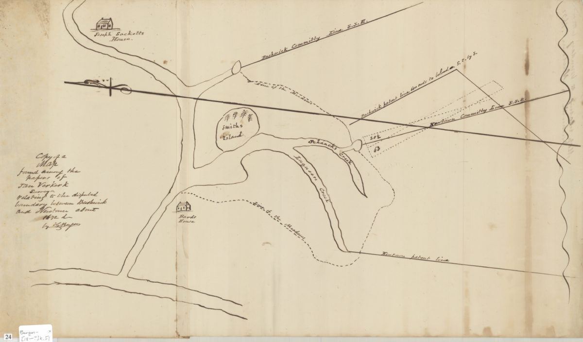
Copy of a map found among the papers of Jan Verkerk, surveyor, relating to the disputed boundary between Bushwick and Newtown about 1672: by T.G. Bergen
Copy of a map found among the papers of Jan Verkerk, surveyor, relating to the disputed boundary between Bushwick and Newtown about 1672: by T.G. Bergen
[18??]
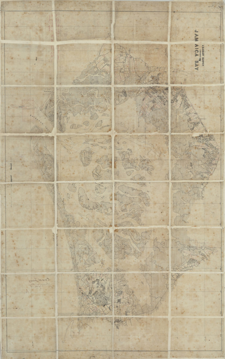
Jamaica Bay: U.S. Coast Survey, A.D. Bache, supt
Jamaica Bay: U.S. Coast Survey, A.D. Bache, supt
[185?]