Center for Brooklyn History
Map Collections
Search
About
Othmer Library & Archives
Submit search query
Refine 1 records
Clear filters
3
Location
Brooklyn (New York, N.Y.)
891
Gowanus Canal (New York, N.Y.)
5
Subject
Piers
25
Watersheds
5
Date
19th Century
945
or enter range:
from
to
Genres
Thematic maps
60
Sort by:
Date (earliest)
Date (most recent)
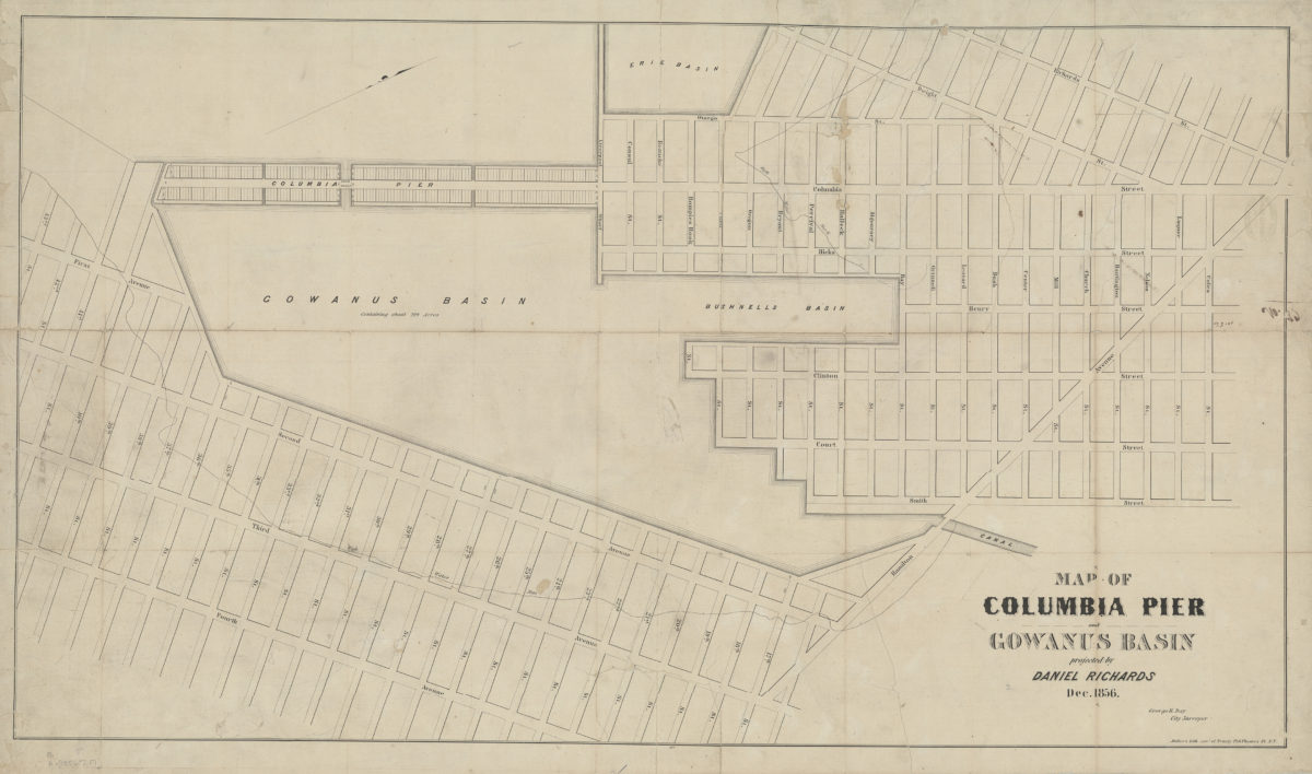
Map of Columbia Pier and Gowanus Basin: projected by Daniel Richards, Dec. 1856 ; George H. Day, city surveyor
Map of Columbia Pier and Gowanus Basin: projected by Daniel Richards, Dec. 1856 ; George H. Day, city surveyor
[1856]