Center for Brooklyn History
Map Collections
Search
About
Othmer Library & Archives
Submit search query
Refine 4 records
Clear filters
3
Location
Bedford-Stuyvesant (New York, N.Y.)
67
Bergen Beach (New York, N.Y.)
3
Brooklyn (New York, N.Y.)
891
Brownsville (New York, N.Y.)
10
Canarsie (New York, N.Y.)
18
Crown Heights (New York, N.Y.)
25
East New York (New York, N.Y.)
16
Mill Basin (New York, N.Y.)
3
Subject
Election districts
36
Landowners
434
Real property
619
Date
19th Century
945
20th Century
469
or enter range:
from
to
Genres
Cadastral maps
597
Manuscript maps
365
Zoning maps
55
Sort by:
Date (earliest)
Date (most recent)
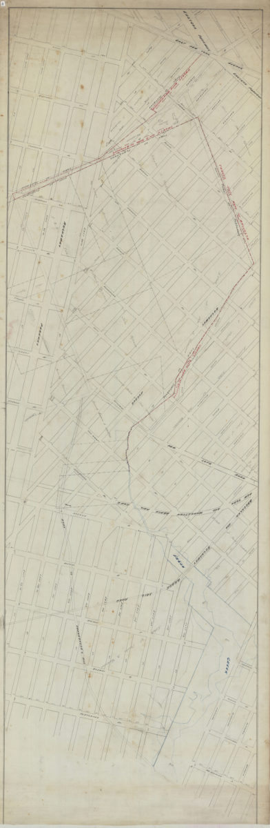
[Map covering area north from E. 93rd St. to Douglass St. and east from East New York Ave. to Flatlands Ave.].
[Map covering area north from E. 93rd St. to Douglass St. and east from East New York Ave. to Flatlands Ave.].
[18??]
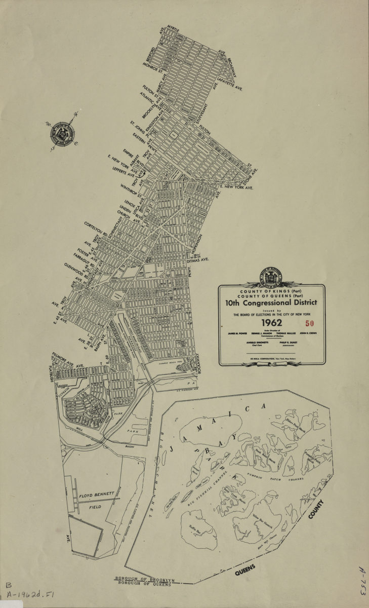
County of Kings, Borough of Brooklyn, 10th Congressional District: issued by the Board of Elections in the City of New York
County of Kings, Borough of Brooklyn, 10th Congressional District: issued by the Board of Elections in the City of New York
1962
Borough of Brooklyn 39th Assembly District, 1971: issued by the Board of Elections in the City of New York
1971
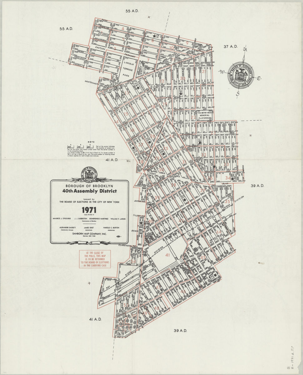
Borough of Brooklyn 40th Assembly District, 1971: issued by the Board of Elections in the City of New York
Borough of Brooklyn 40th Assembly District, 1971: issued by the Board of Elections in the City of New York
1971