Center for Brooklyn History
Map Collections
Search
About
Othmer Library & Archives
Submit search query
Refine 3 records
Clear filter
1
Location
Albany (N.Y.)
3
Brooklyn (New York, N.Y.)
891
Buffalo (N.Y.)
3
Erie County (N.Y.)
1
Manhattan (New York, N.Y.)
120
New York (State)
95
New York Metropolitan Area
40
Subject
Roads
117
Date
19th Century
945
20th Century
469
or enter range:
from
to
Genres
Bathymetric maps
94
Road maps
83
Transportation maps
120
Zoning maps
55
Sort by:
Date (earliest)
Date (most recent)
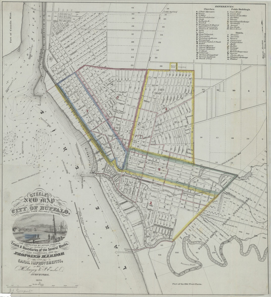
Steele’s new map of the city of Buffalo: compiled form reliable records and corrected by actual surveys shewing the extent & boundaries of the several blocks, also exhibiting the proposed harbor and canal improvements
Steele’s new map of the city of Buffalo: compiled form reliable records and corrected by actual surveys shewing the extent & boundaries of the several blocks, also exhibiting the proposed harbor and canal improvements
1850
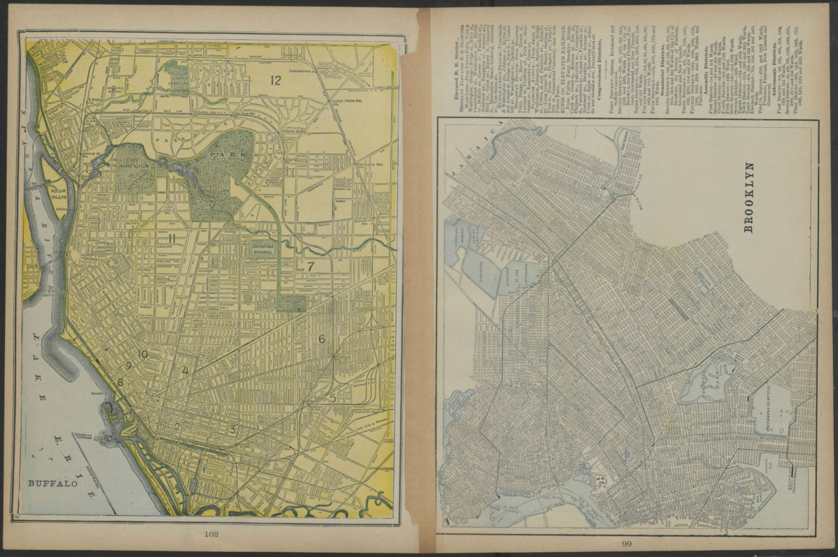
Map of New York and vicinity
Map of New York and vicinity
[1886-1894]
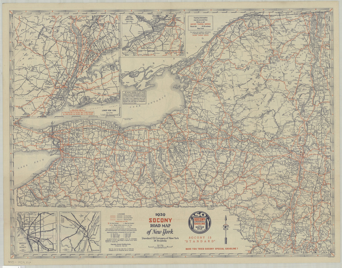
1929 Socony Road map of New York: copyright General Drafting Co., Inc
1929 Socony Road map of New York: copyright General Drafting Co., Inc
[1929]