Center for Brooklyn History
Map Collections
Search
About
Othmer Library & Archives
Submit search query
Refine 2 records
Clear filter
1
Location
Dutchess County (N.Y.)
2
Putnam County (N.Y.)
1
Subject
Roads
117
Date
19th Century
945
20th Century
469
or enter range:
from
to
Genres
Map
191
Road maps
83
Sort by:
Date (earliest)
Date (most recent)
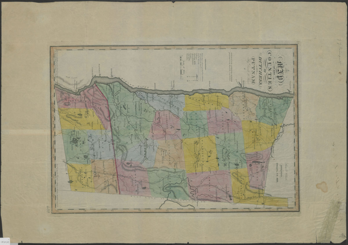
Map of the counties of Dutchess and Putnam: by David H. Burr
Map of the counties of Dutchess and Putnam: by David H. Burr
1839
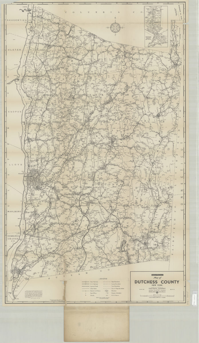
Hagstrom’s street and road map of Dutchess County, New York: contents Beacon, Millbrook, Millerton, Pawling, Poughkeepsie, Red Hook, Rhinebeck, Wappingers Falls, etc
Hagstrom’s street and road map of Dutchess County, New York: contents Beacon, Millbrook, Millerton, Pawling, Poughkeepsie, Red Hook, Rhinebeck, Wappingers Falls, etc
[1916-1924]