Center for Brooklyn History
Map Collections
Search
About
Othmer Library & Archives
Submit search query
Refine 2 records
Clear filters
3
Location
Brooklyn (New York, N.Y.)
891
Coney Island (New York, N.Y.)
22
Flatbush (New York, N.Y.)
35
Park Slope (New York, N.Y.)
16
Subject
Landforms
15
Landowners
434
Plank roads
1
Real property
619
Roads
117
Date
19th Century
945
or enter range:
from
to
Genres
Cadastral maps
597
Manuscript maps
365
Sort by:
Date (earliest)
Date (most recent)
[Map of Church Ave. between E. 18th St. and Nostrand Ave.].
[Map of Church Ave. between E. 18th St. and Nostrand Ave.].
[18??]
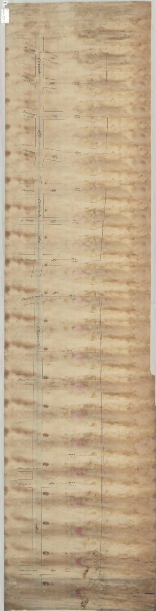
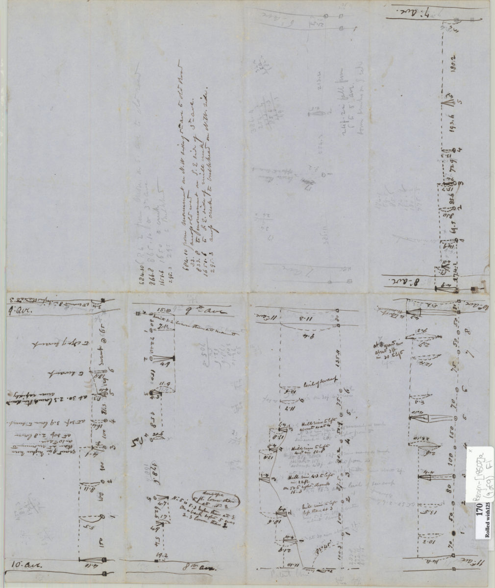
[Brooklyn & Coney Island Plank Road surveys]
[Brooklyn & Coney Island Plank Road surveys]
[ca. 1850]