Center for Brooklyn History
Map Collections
Search
About
Othmer Library & Archives
Submit search query
Refine 1 records
Clear filter
1
Location
Fort Stanwix (Rome, N.Y.)
1
Oneida County (N.Y.)
2
Subject
Date
19th Century
945
or enter range:
from
to
Genres
Topographic maps
70
Sort by:
Date (earliest)
Date (most recent)
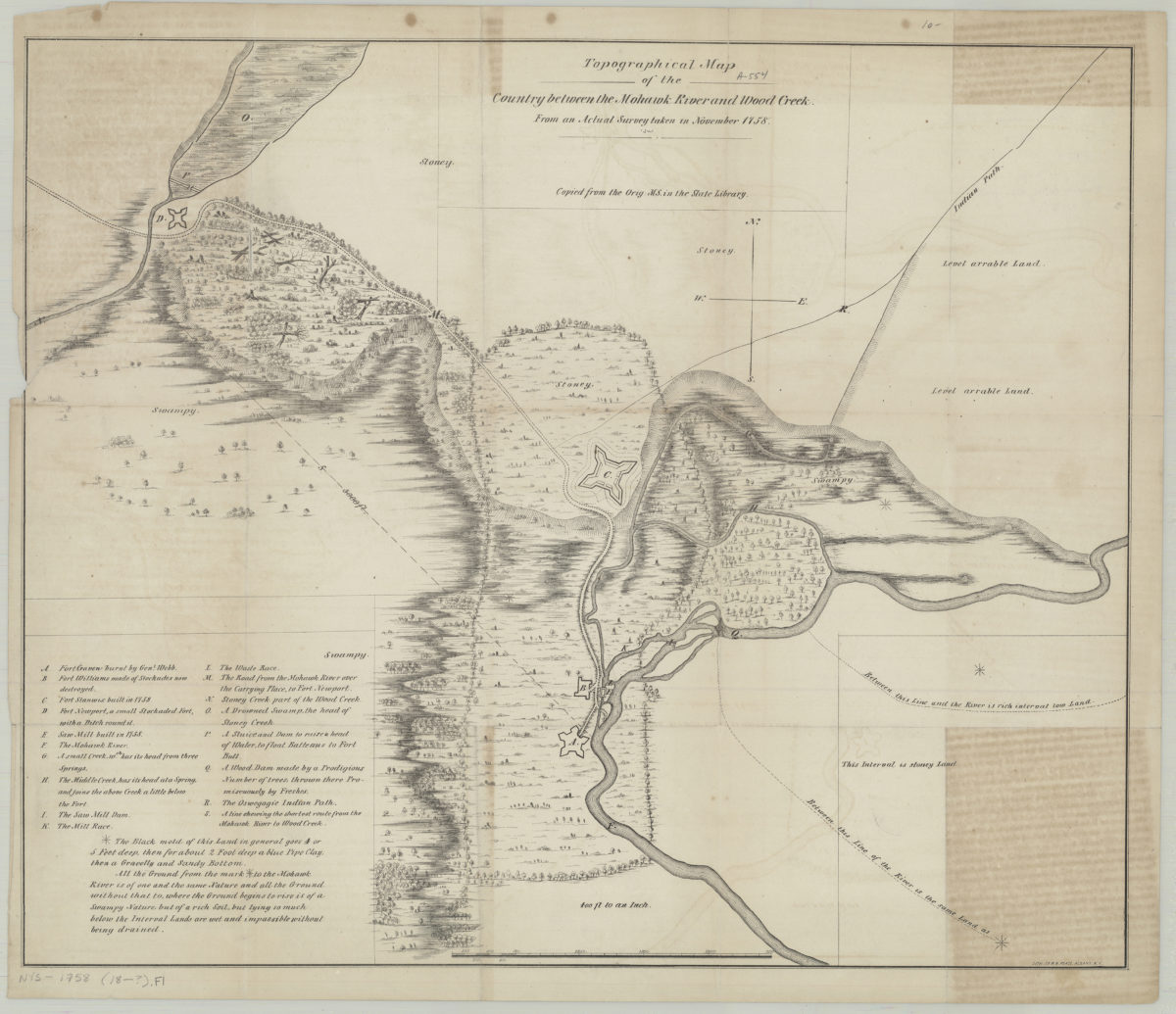
Topographical map of the country between the Mohawk River and Wood Creek: from an actual survey taken in November, 1758
Topographical map of the country between the Mohawk River and Wood Creek: from an actual survey taken in November, 1758
[18??]