Center for Brooklyn History
Map Collections
Search
About
Othmer Library & Archives
Submit search query
Refine 3 records
Clear filters
4
Location
Long Island (N.Y.)
197
Manhattan (New York, N.Y.)
120
New York (N.Y.)
164
New York (State)
95
New York Metropolitan Area
40
Subject
Road maps
2
Roads
117
Date
20th Century
469
21th Century
66
or enter range:
from
to
Genres
Map
191
Road maps
83
Transportation maps
120
Sort by:
Date (earliest)
Date (most recent)
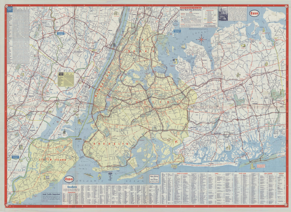
New York City & vicinity,1960: General Drafting Company ; [prepared for] Esso Standard
New York City & vicinity,1960: General Drafting Company ; [prepared for] Esso Standard
1960
Long Island, New York City & metro area counties: [prepared for] Texaco
Long Island, New York City & metro area counties: [prepared for] Texaco
1975
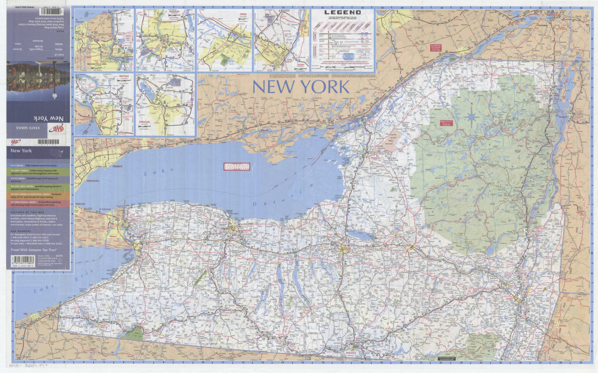
New York: including insets of Albany, Buffalo, Niagara Falls NY-ON, Rochester, Syracuse, Utica, plus Long Island map … toll & ferry information: AAA
New York: including insets of Albany, Buffalo, Niagara Falls NY-ON, Rochester, Syracuse, Utica, plus Long Island map … toll & ferry information: AAA
[2004]