Center for Brooklyn History
Map Collections
Search
About
Othmer Library & Archives
Submit search query
Refine 3 records
Clear filters
2
Location
Bergen Beach (New York, N.Y.)
3
Brooklyn (New York, N.Y.)
891
Canarsie (New York, N.Y.)
18
East Flatbush (New York, N.Y.)
23
Flatbush (New York, N.Y.)
35
Flatlands (New York, N.Y.)
19
Gerritsen Beach (New York, N.Y.)
2
Marine Park (New York, N.Y.)
5
Mill Basin (New York, N.Y.)
3
Sheepshead Bay (New York, N.Y.)
13
Subject
Election districts
36
Indians of North America
6
Date
20th Century
469
or enter range:
from
to
Genres
Historical maps
53
Zoning maps
55
Sort by:
Date (earliest)
Date (most recent)
A conjectural plan of the three flats called by the Indians Keskateuw and by the Dutch Amersfort or the Village of Amersfort: made solely to elucidate the text-matter of this book and not purporting to determine what any of the flats comprised
A conjectural plan of the three flats called by the Indians Keskateuw and by the Dutch Amersfort or the Village of Amersfort: made solely to elucidate the text-matter of this book and not purporting to determine what any of the flats comprised
[1924; 1924]
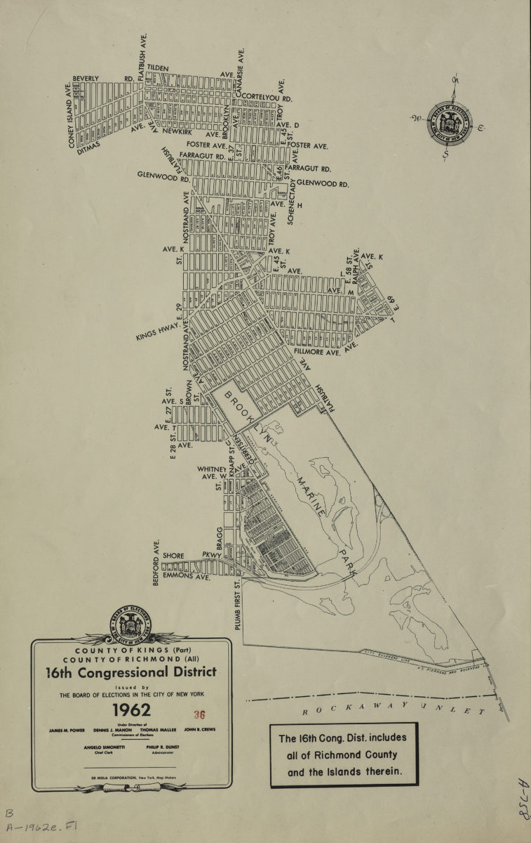
County of Kings, Borough of Brooklyn, 16th Congressional District
County of Kings, Borough of Brooklyn, 16th Congressional District
1962
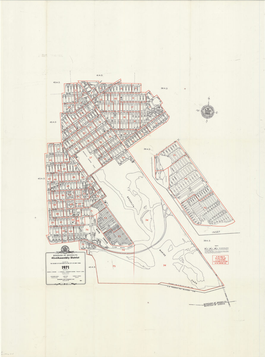
Borough of Brooklyn 42nd Assembly District, 1971: issued by the Board of Elections in the City of New York
Borough of Brooklyn 42nd Assembly District, 1971: issued by the Board of Elections in the City of New York
1971