Center for Brooklyn History
Map Collections
Search
About
Othmer Library & Archives
Submit search query
Refine 3 records
Clear filters
3
Location
Brooklyn (New York, N.Y.)
891
Coney Island (New York, N.Y.)
22
New Jersey
27
New York (N.Y.)
164
New York (State)
95
Subject
Long Island, Battle of, New York, N.Y. , 1776
7
Date
19th Century
945
20th Century
469
or enter range:
from
to
Genres
Bathymetric maps
94
Historical maps
53
Military maps
23
Topographic maps
70
Sort by:
Date (earliest)
Date (most recent)
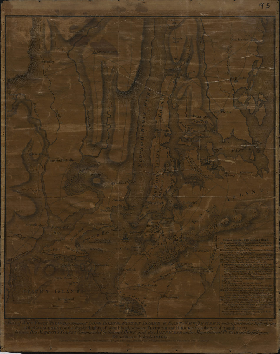
A plan of New York Island, with part of Long Island, Staten Island & East New Jersey: with a particular description of the Engagement on the Woody Heights of Long Island, between Flatbush and Brooklyn, on the 27th of August 1776
A plan of New York Island, with part of Long Island, Staten Island & East New Jersey: with a particular description of the Engagement on the Woody Heights of Long Island, between Flatbush and Brooklyn, on the 27th of August 1776
[1865]
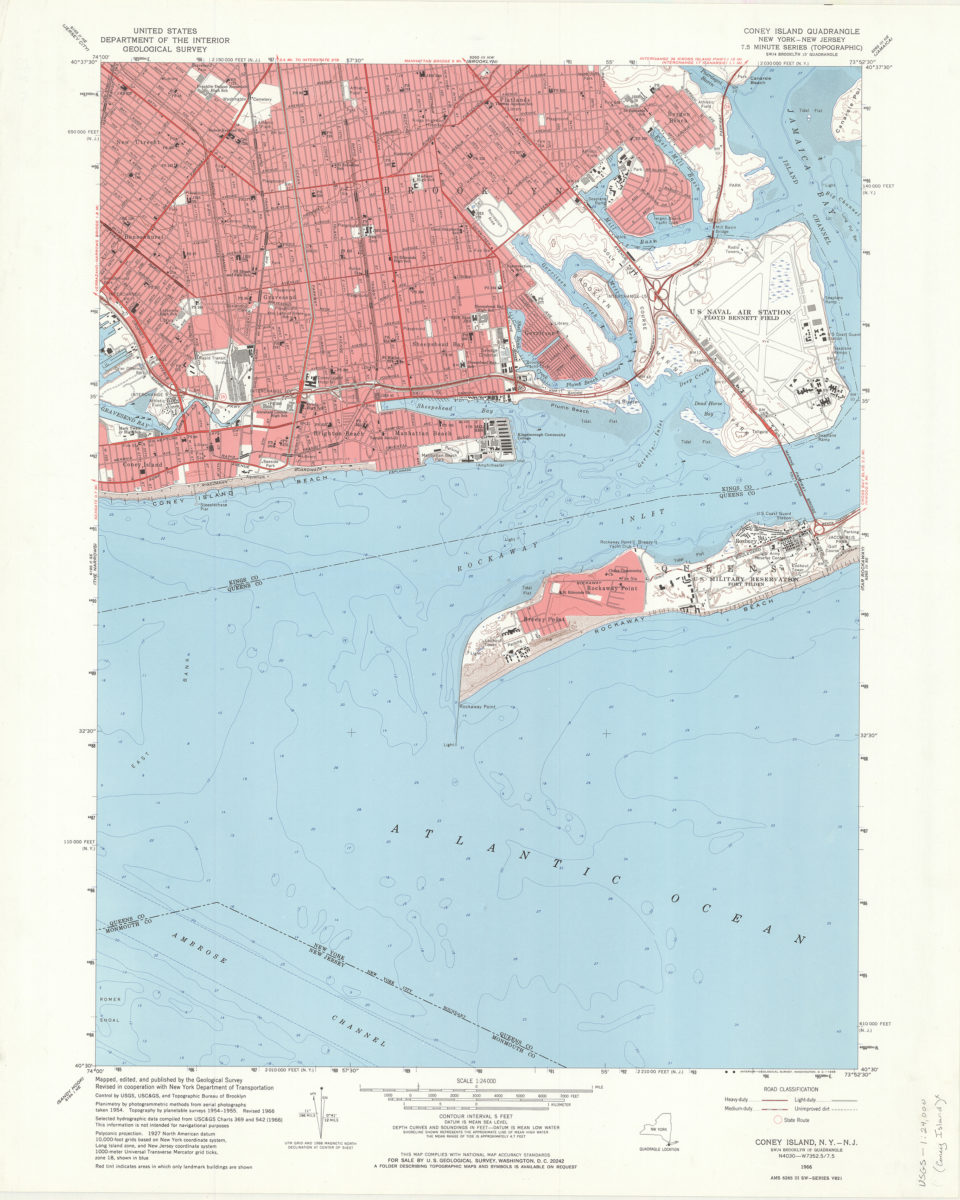
Coney Island quadrangle, New York–New Jersey: 7.5 minute series (topographic): mapped, edited, and published by the Geological Survey ; revised in cooperation with New York Department of Transportation
Coney Island quadrangle, New York–New Jersey: 7.5 minute series (topographic): mapped, edited, and published by the Geological Survey ; revised in cooperation with New York Department of Transportation
1968
Coney Island quadrangle, New York–New Jersey
Coney Island quadrangle, New York–New Jersey
[1969]