Center for Brooklyn History
Map Collections
Search
About
Othmer Library & Archives
Submit search query
Refine 5 records
Clear filters
3
Location
Bergen County (N.J.)
6
Bronx (New York, N.Y.)
10
Brooklyn (New York, N.Y.)
891
Manhattan (New York, N.Y.)
120
New York (N.Y.)
164
Queens (New York, N.Y.)
83
Subject
Buildings
12
Landforms
15
Ponds
6
Rivers
16
Wetlands
6
Date
19th Century
945
20th Century
469
or enter range:
from
to
Genres
Bathymetric maps
94
Early maps
35
Historical maps
53
Topographic maps
70
Sort by:
Date (earliest)
Date (most recent)
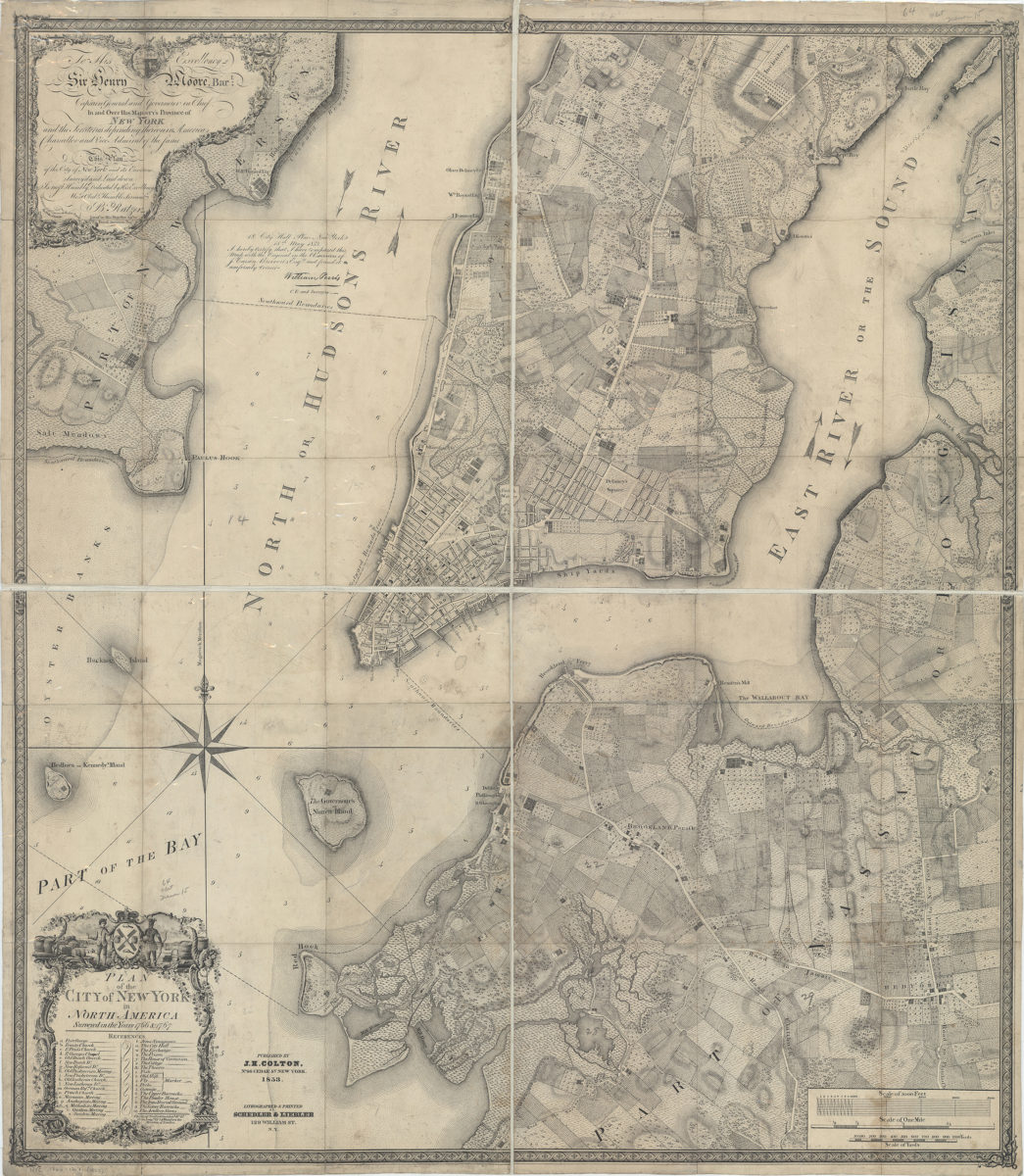
Plan of the city of New York in North America: surveyed in the years 1766 & 1767: B. Ratzer ; Thos. Kitchin sculpt
Plan of the city of New York in North America: surveyed in the years 1766 & 1767: B. Ratzer ; Thos. Kitchin sculpt
1853
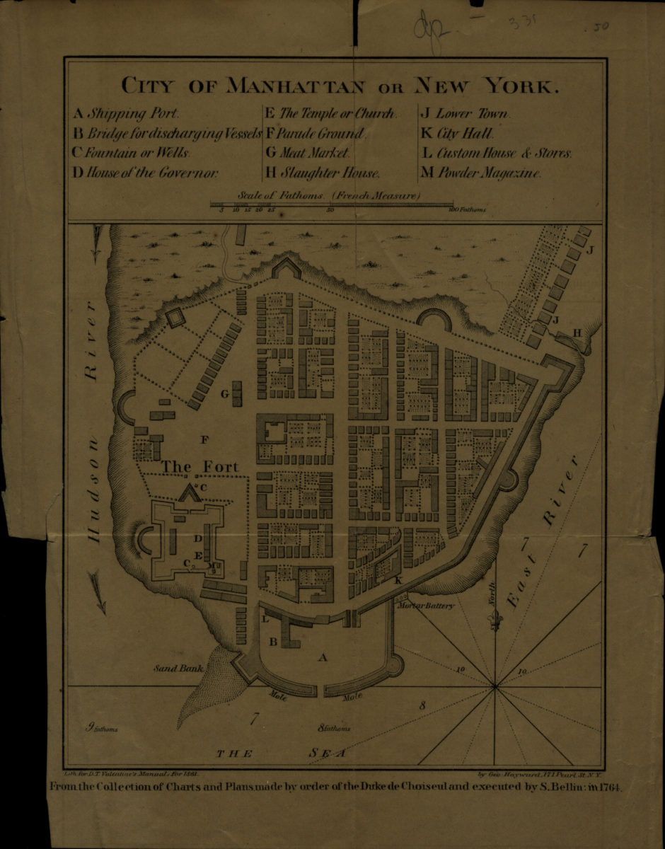
City of Manhattan or New York
City of Manhattan or New York
[1861]
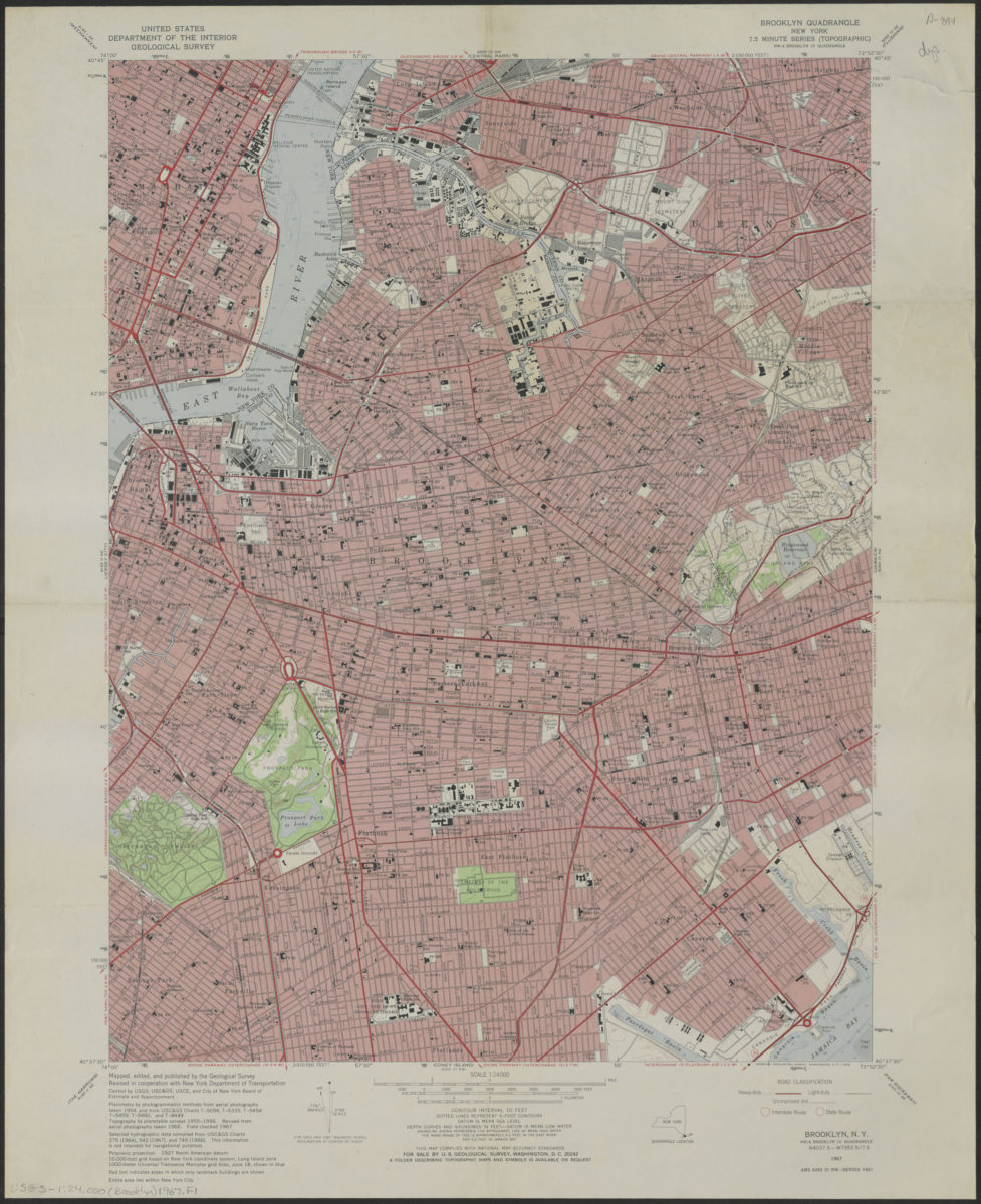
Brooklyn quadrangle, New York
Brooklyn quadrangle, New York
1967
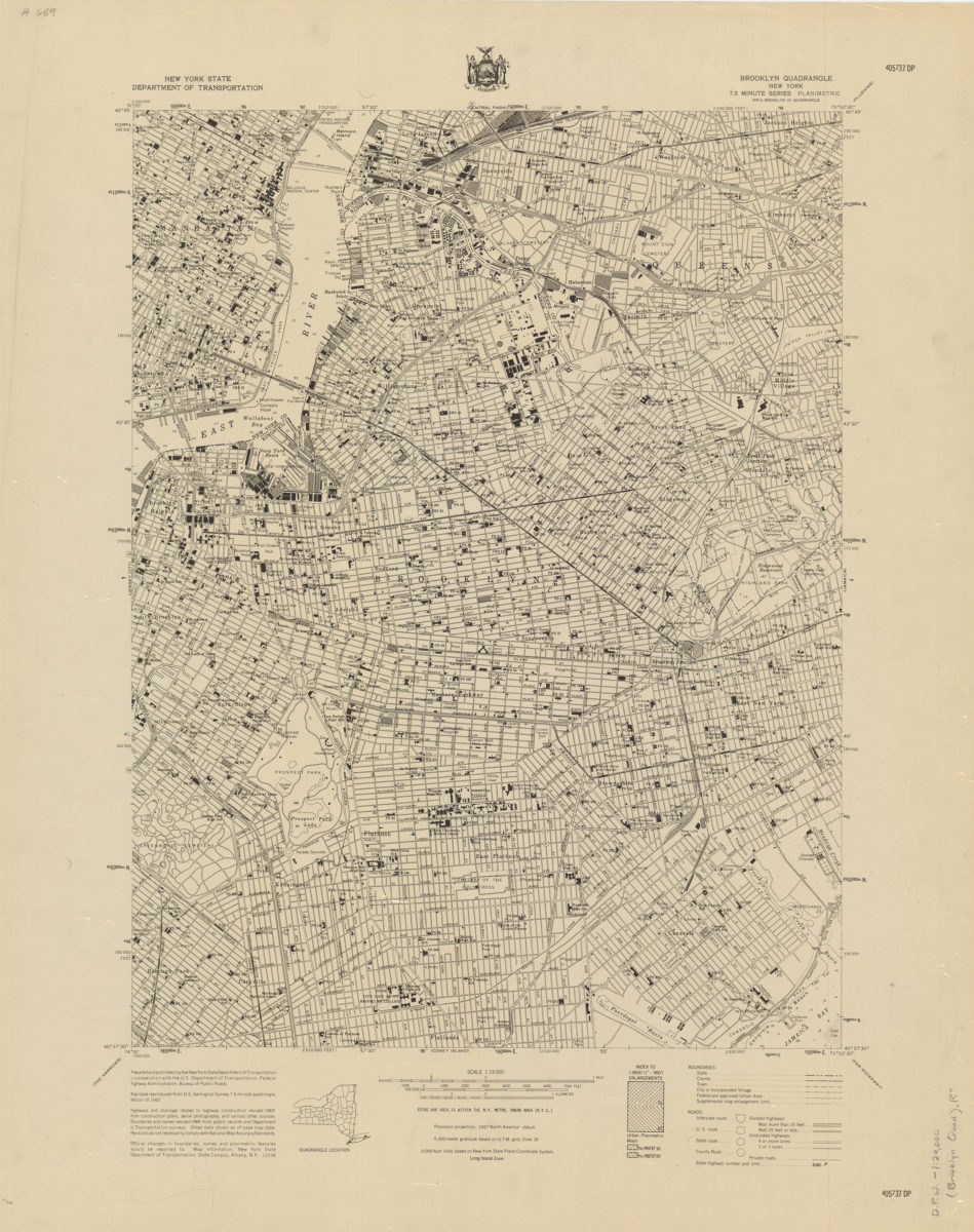
Brooklyn quadrangle, New York
Brooklyn quadrangle, New York
[1969]
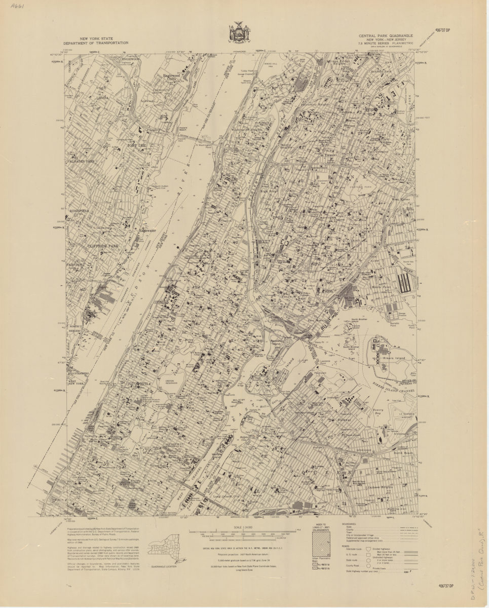
Central Park quadrangle, New York
Central Park quadrangle, New York
[1969]