Center for Brooklyn History
Map Collections
Search
About
Othmer Library & Archives
Submit search query
Refine 2 records
Clear filters
2
Location
New York (State)
95
Pennsylvania
4
Subject
Indians of North America
6
Date
19th Century
945
20th Century
469
or enter range:
from
to
Genres
Map
191
Pictorial maps
38
Sort by:
Date (earliest)
Date (most recent)
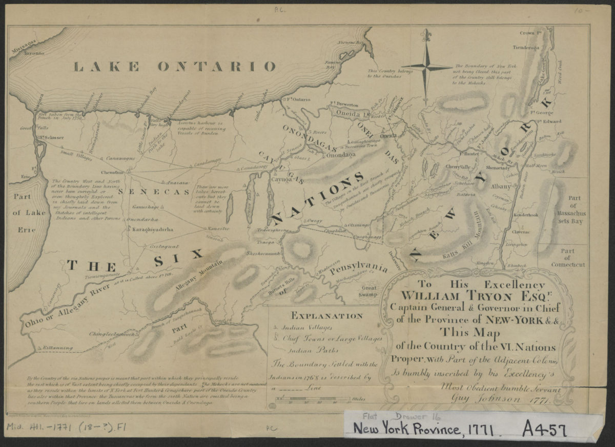
To his excellency William Tryon Esqr., captain general & governor in chief of the province of New-York & &: this map of the country of the VI. nations proper, with part of the adjacent colonies is humbly inscribed:
To his excellency William Tryon Esqr., captain general & governor in chief of the province of New-York & &: this map of the country of the VI. nations proper, with part of the adjacent colonies is humbly inscribed:
[1851]
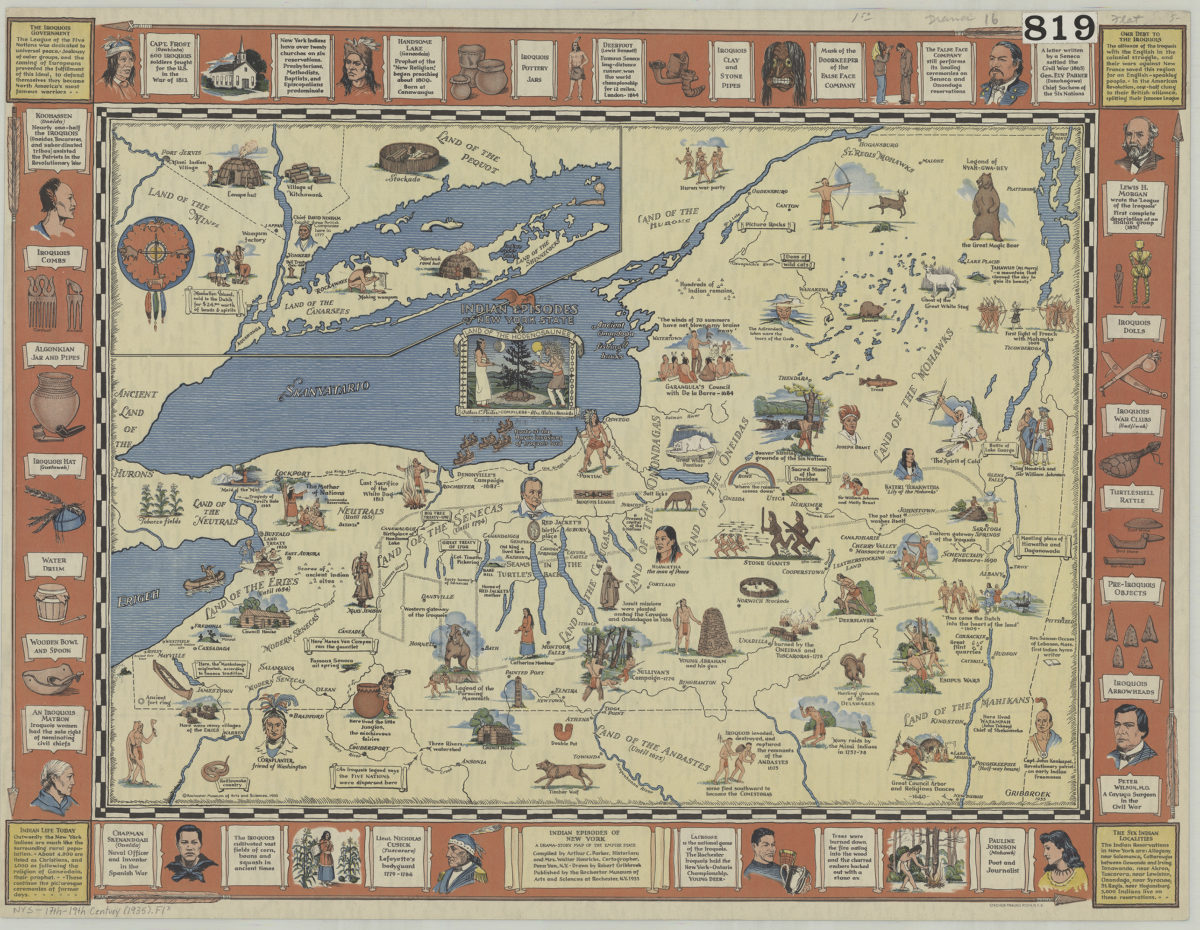
Indian episodes of New York State: land of the Hodenosaunee: Arthur C. Parker, Mrs. Walter Henricks, compilers ; drawn by Robert Gribbroek
Indian episodes of New York State: land of the Hodenosaunee: Arthur C. Parker, Mrs. Walter Henricks, compilers ; drawn by Robert Gribbroek
1935