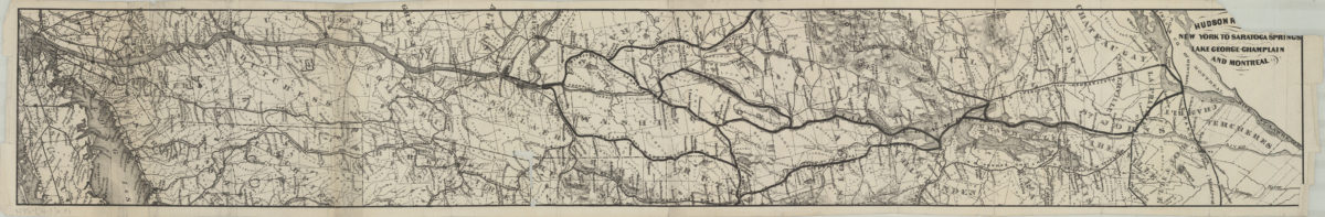
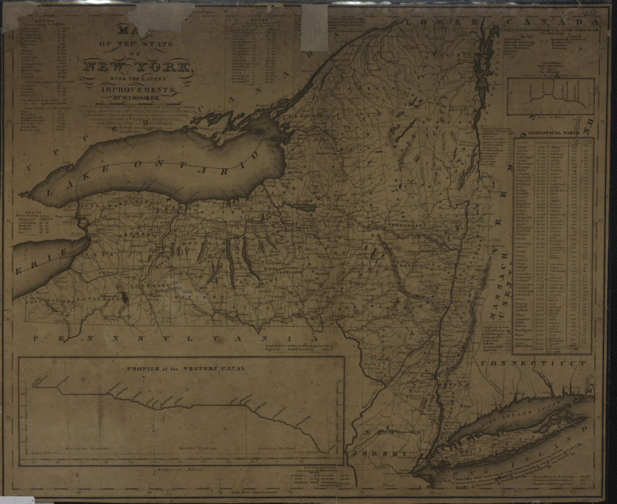

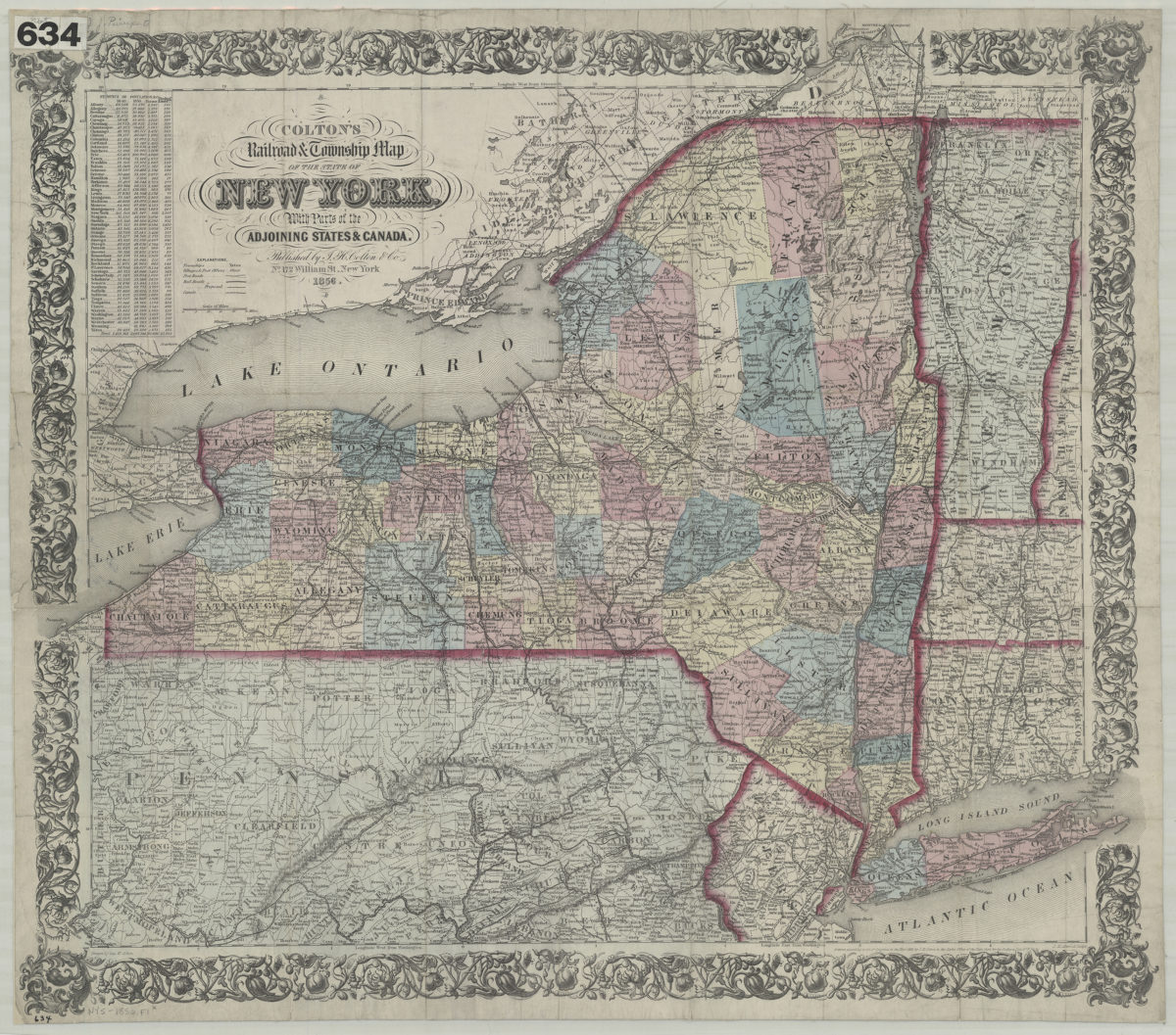
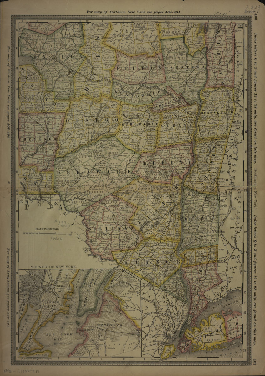
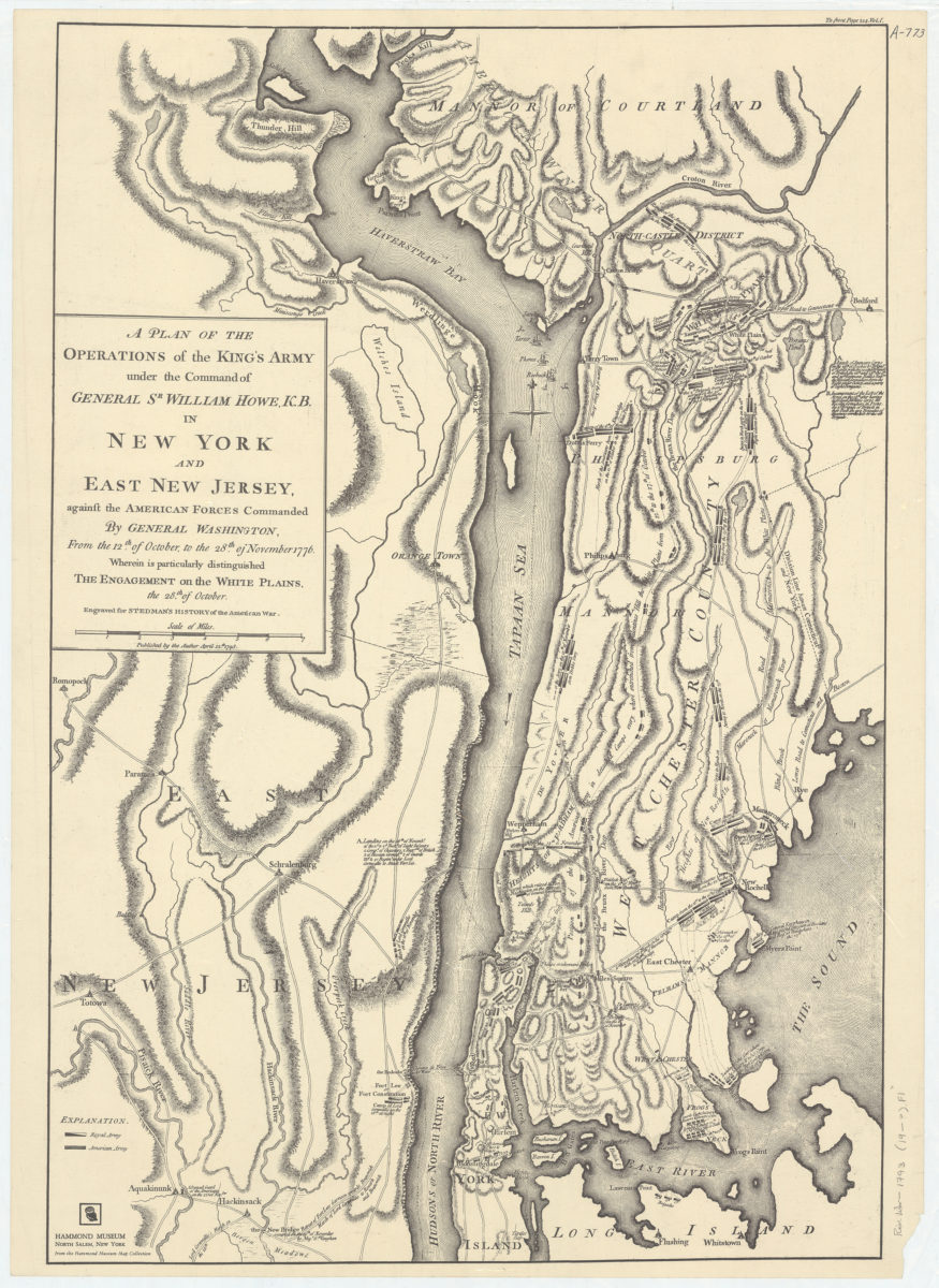
Colton’s railroad & township map of the state of New York: with parts of the adjoining states & Canada: drawn by Geo. W. Colton
1856; [ca. 1852]
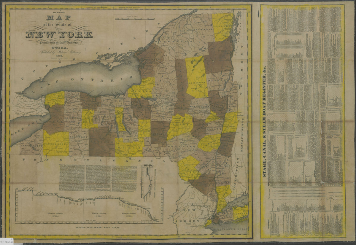
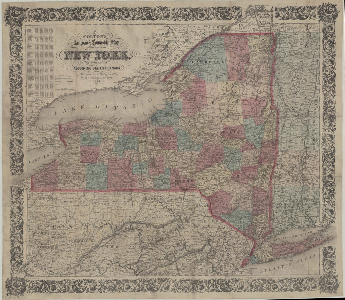
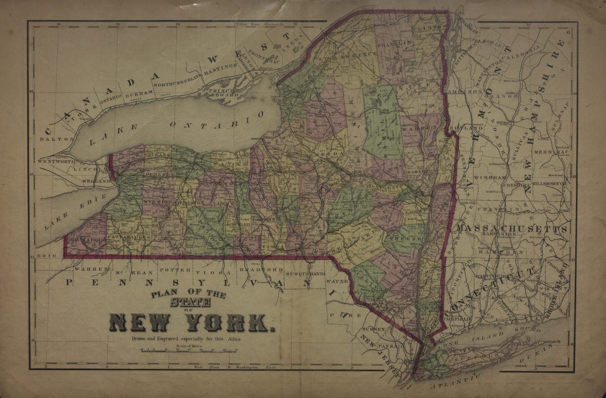
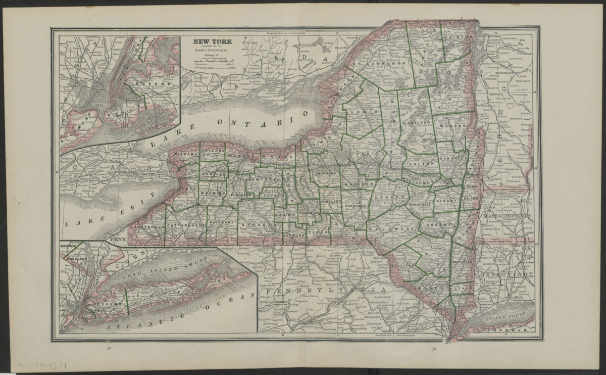
Colton’s railroad & township map of the state of New York: with parts of the adjoining states & Canada: drawn by Geo. W. Colton
1864; [ca. 1852]
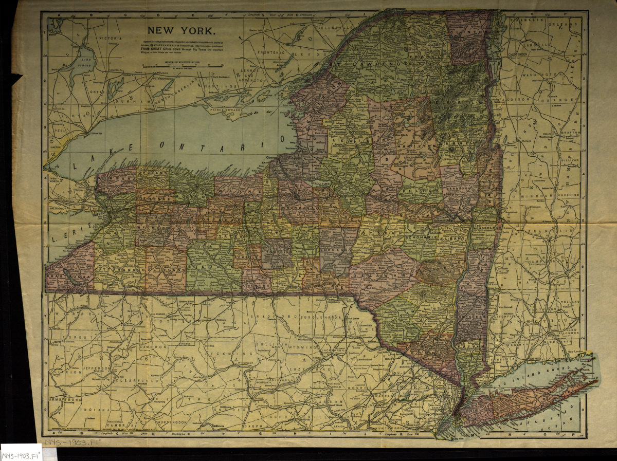
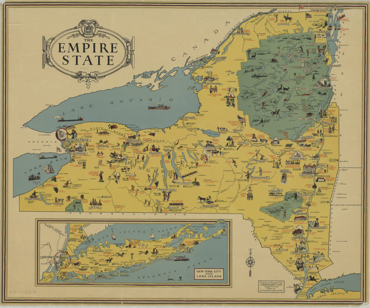
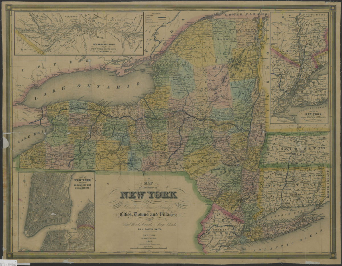
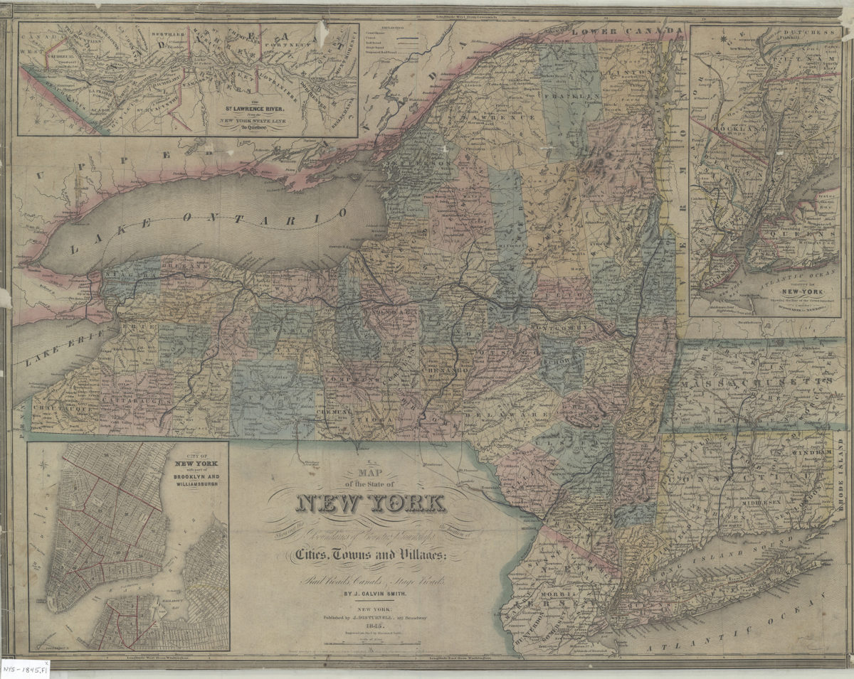
The Empire State: compiled and copyrighted 1932 by Bertrand T. Fay ; drawn by Everard A. McAvoy
[1932;1932]