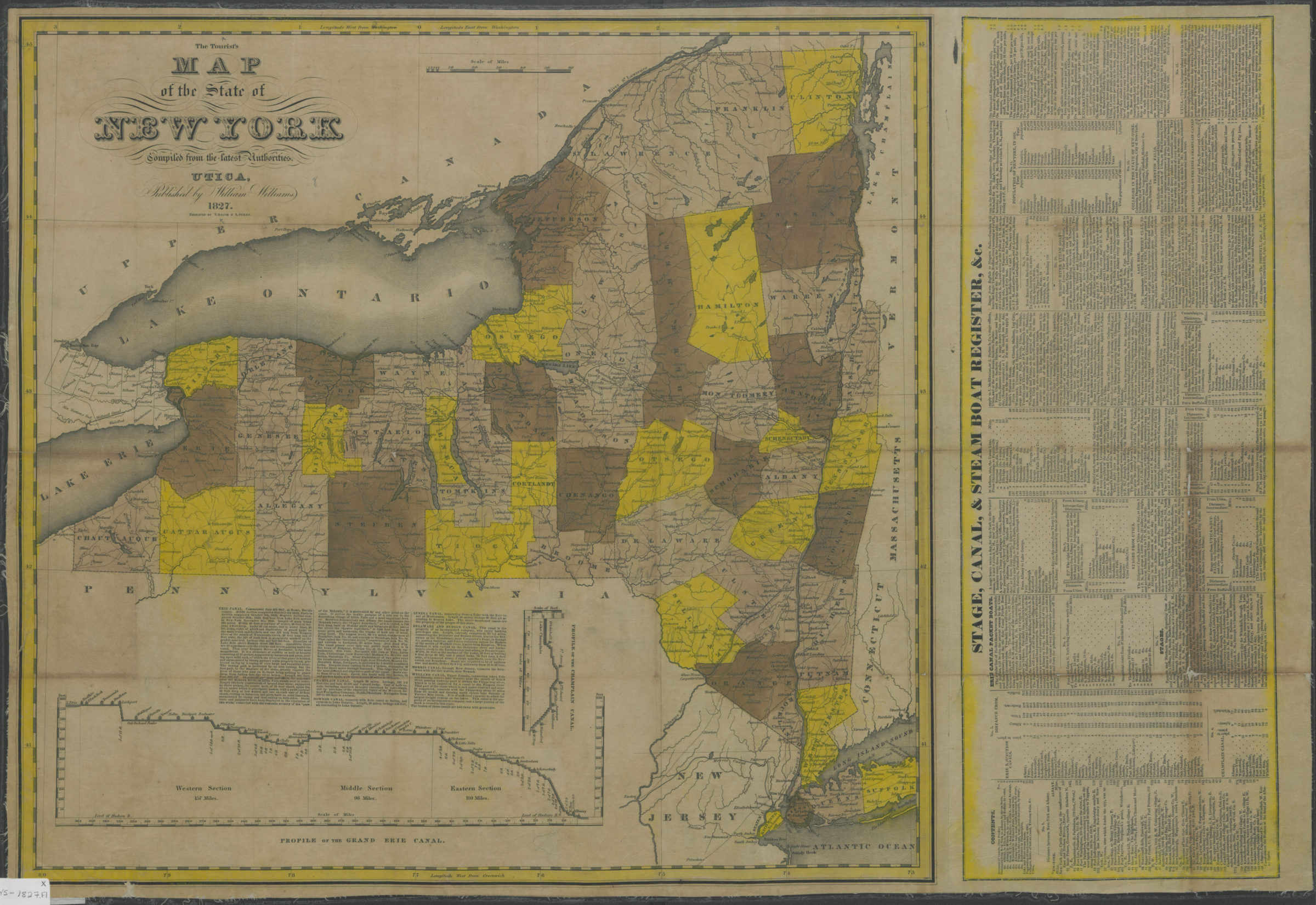
The tourist’s map of the state of New York: compiled from the latest authorities 1827
Map No. NYS-1827.Fl
Shows county boundaries. Relief shown by hachures. Prime meridians: Washington and Greenwich. Includes inset elevation profiles, text, and “Stage, canal, & steam boat register, &c.” Inset elevation profiles: Profile of the Grand Erie Canal — Profile of the Champlain Canal. BHS copy mounted on linen.
Map area shown
Genre
Tourist mapsRelation
Full catalog recordSize
53 × 75 cmDownload
Low Resolution Image
Creator
Williams, William,Publisher
Brooklyn Historical SocietyCitation
The tourist’s map of the state of New York: compiled from the latest authorities; 1827, Map Collection, NYS-1827.Fl; Brooklyn Historical Society.Scale
Scale [ca. 1:1,140,480]Loading zoom image... 