Center for Brooklyn History
Map Collections
Search
About
Othmer Library & Archives
Submit search query
Refine 95 records
Clear filter
1
Location
Albany (N.Y.)
3
Bronx (New York, N.Y.)
10
Brooklyn (New York, N.Y.)
891
Buffalo (N.Y.)
3
Champlain Canal (N.Y.)
1
Coney Island (New York, N.Y.)
22
Connecticut
7
Croton Aqueduct (N.Y.)
3
Delaware County (N.Y.)
1
Delaware River Valley (N.Y.-Del. and N.J.)
1
Erie Canal (N.Y.)
3
Far Rockaway (New York, N.Y.)
2
Flatbush (New York, N.Y.)
35
Genesee River (Pa. and N.Y.)
1
Greene County (N.Y.)
3
Hudson River (N.Y. and N.J.)
7
Long Island (N.Y.)
197
Manhattan (New York, N.Y.)
120
Mohawk River Valley (N.Y.)
3
Nassau County (N.Y.)
24
New England
8
New Jersey
27
New York (N.Y.)
164
New York (State)
95
New York Harbor (N.Y. and N.J.)
16
New York Metropolitan Area
40
New York Region
5
Pennsylvania
4
Queens (New York, N.Y.)
83
Rhode Island
2
Saint Lawrence River
2
Schoharie Creek Valley (N.Y.)
1
Suffolk County (N.Y.)
43
Susquehanna River Valley
1
Ulster County (N.Y.)
4
United States
10
Vermont
1
Westchester County (N.Y.)
11
White Plains (N.Y.)
1
Show 19 more
Subject
Airports
2
Airways
2
Aqueducts
3
Bridges
13
Buildings
12
Camp sites, facilities, etc
1
Canals
15
Counties
1
Decedents' estates
1
Federal aid to transportation
1
ferries
32
Forest reserves
1
Fortification
7
Geology
2
Historic sites
3
Indians of North America
6
Land grants
12
Landforms
15
Landowners
434
Local transit
63
Long Island, Battle of, New York, N.Y. , 1776
7
Manuscript Maps
2
Mines and mineral resources
1
Natural areas
1
Nautical charts
14
Outdoor recreation
1
Parks
35
Railroads
72
Railroads, Elevated
24
Real property
619
Recreation
5
Reservoirs
2
River channels
1
Road maps
2
Roads
117
Street addresses
11
Streets
46
Subways
55
Tourism
1
Transportation
3
Tunnels
16
White Plains, Battle of, White Plains, N.Y., 1776
3
Show 22 more
Date
18th Century
12
19th Century
945
20th Century
469
21th Century
66
or enter range:
from
to
Genres
Bathymetric maps
94
Cadastral maps
597
Early maps
35
Early works
3
Facsimiles
1
Historical maps
53
Manuscript maps
365
Map
191
Military maps
23
Nautical charts
30
Pictorial maps
38
Pictorial works
1
Road maps
83
Statistical maps
8
Thematic maps
60
Topographic maps
70
Tourist maps
55
Transportation maps
120
Sort by:
Date (earliest)
Date (most recent)
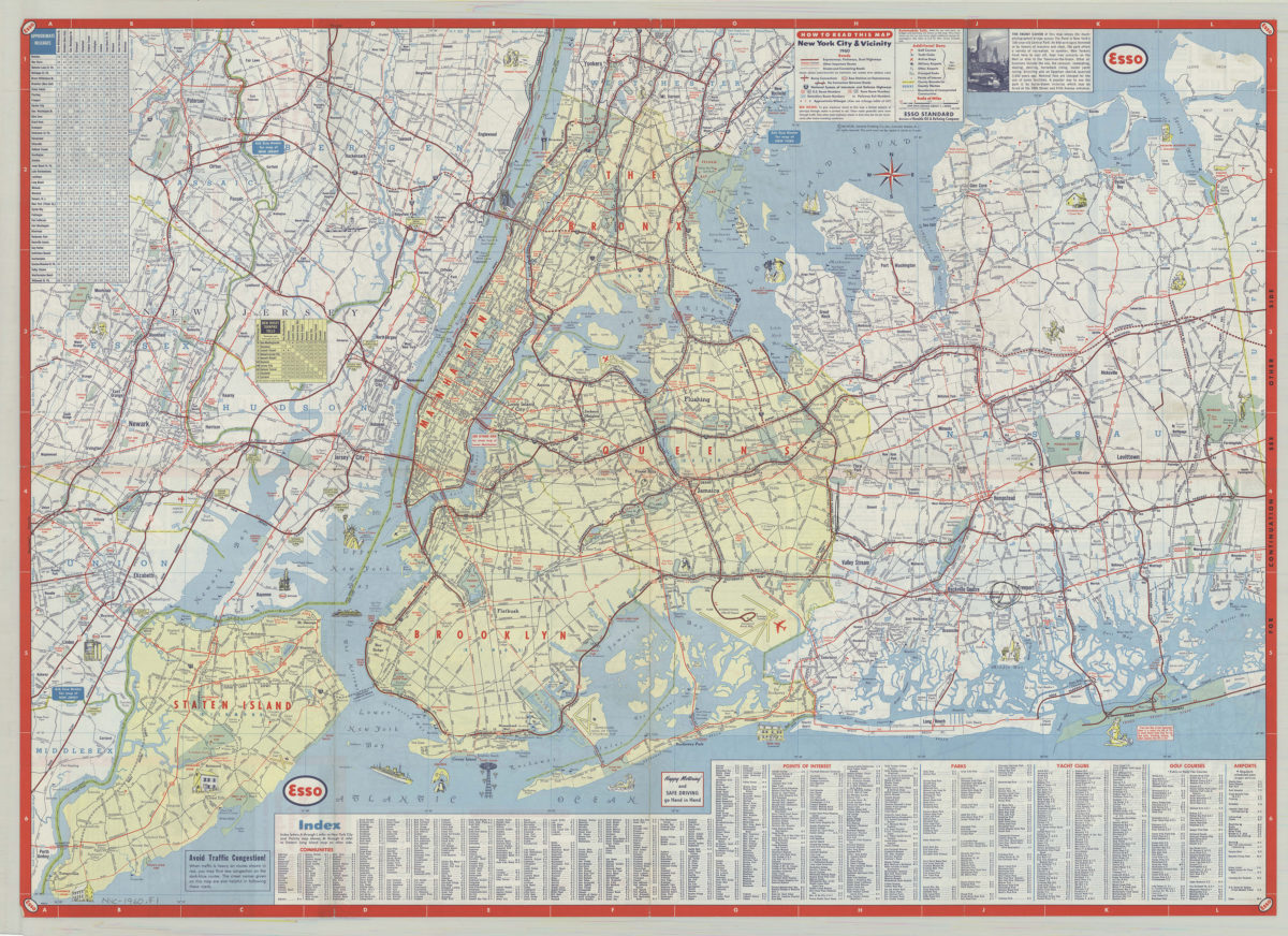
New York City & vicinity,1960: General Drafting Company ; [prepared for] Esso Standard
New York City & vicinity,1960: General Drafting Company ; [prepared for] Esso Standard
1960
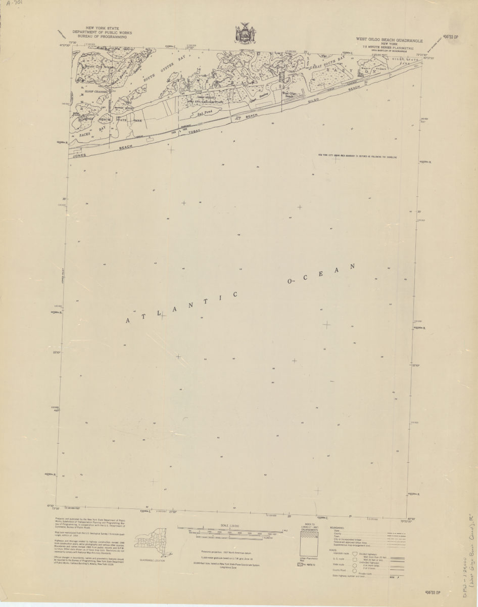
West Gilgo Beach quadrangle, New York
West Gilgo Beach quadrangle, New York
[1966]
Wading River quadrangle, New York–Suffolk Co
Wading River quadrangle, New York–Suffolk Co
[1966]
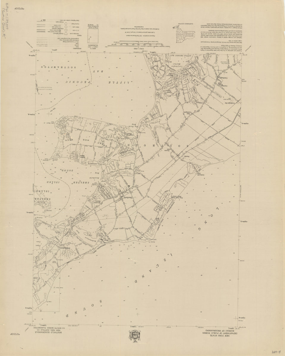
Southold quadrangle, New York–Suffolk Co
Southold quadrangle, New York–Suffolk Co
[1966]
Southampton quadrangle, New York–Suffolk Co
Southampton quadrangle, New York–Suffolk Co
[1966]
Shinnecock Inlet quadrangle, New York
Shinnecock Inlet quadrangle, New York
[1966]
Sayville quadrangle, New York–Suffolk Co
Sayville quadrangle, New York–Suffolk Co
[1966]
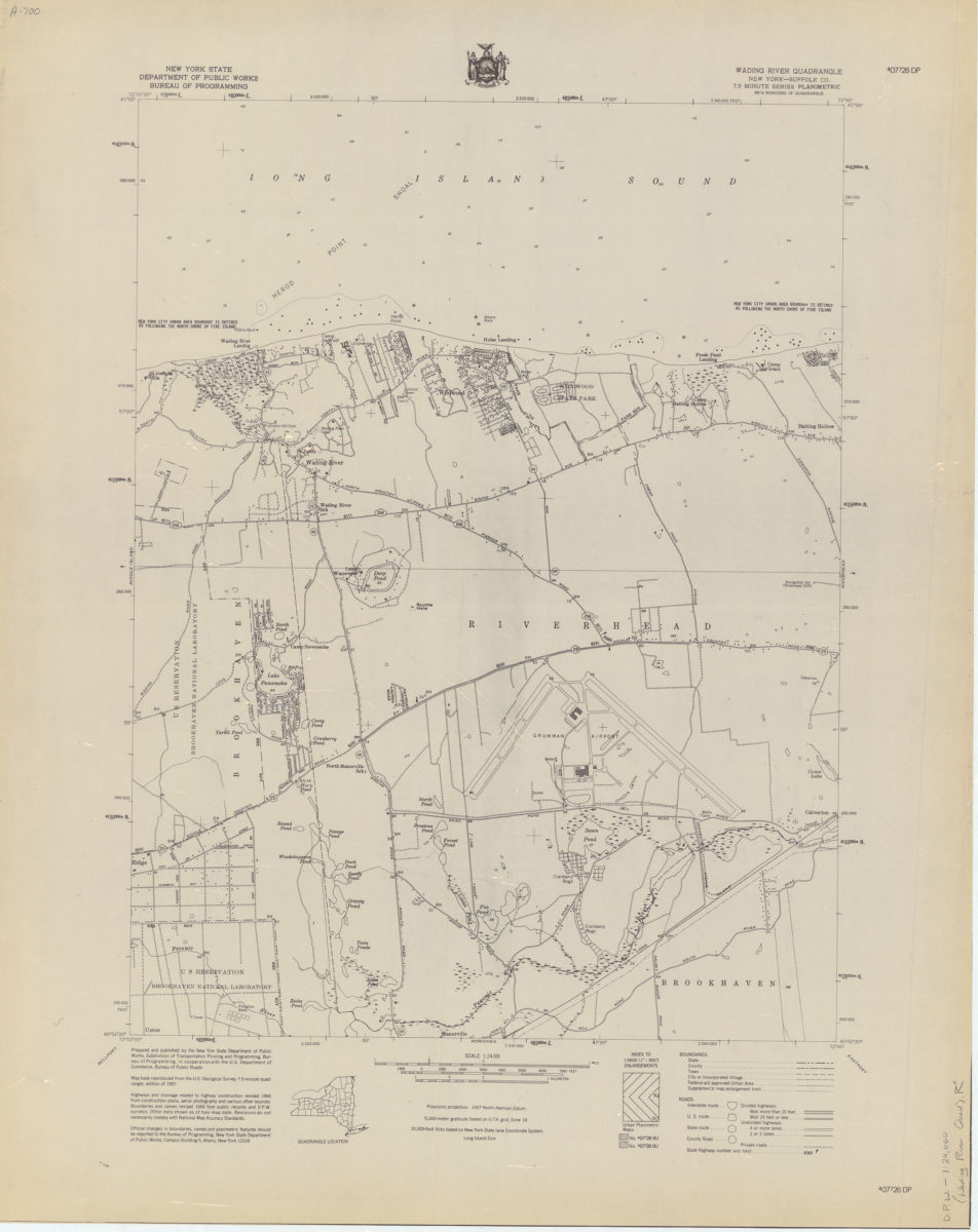
Riverhead quadrangle, New York–Suffolk Co
Riverhead quadrangle, New York–Suffolk Co
[1966]
Quogue quadrangle, New York–Suffolk Co
Quogue quadrangle, New York–Suffolk Co
[1966]
Port Jefferson quadrangle, New York–Suffolk Co
Port Jefferson quadrangle, New York–Suffolk Co
[1966]
Pattersquash Island quadrangle, New York–Suffolk Co
Pattersquash Island quadrangle, New York–Suffolk Co
[1966]
Northport quadrangle, New York–Suffolk Co
Northport quadrangle, New York–Suffolk Co
[1966]
East Hampton quadrangle, New York–Suffolk Co
East Hampton quadrangle, New York–Suffolk Co
[1966]
Eastport quadrangle, New York–Suffolk Co
Eastport quadrangle, New York–Suffolk Co
[1966]
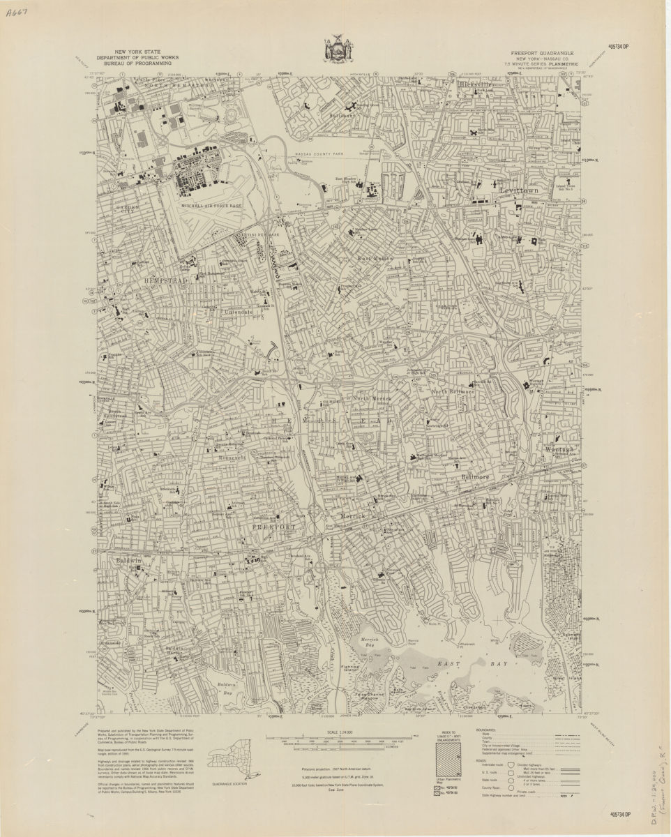
Freeport quadrangle, New York–Nassau Co
Freeport quadrangle, New York–Nassau Co
[1966]
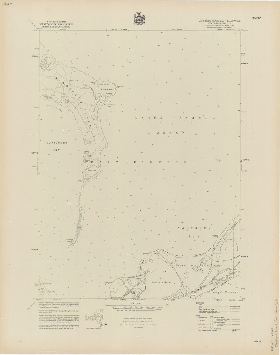
Gardiners Island East quadrangle, New York–Suffolk Co
Gardiners Island East quadrangle, New York–Suffolk Co
[1966]
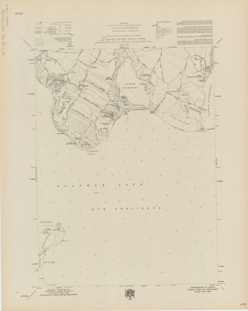
Gardiners Island West quadrangle, New York–Suffolk Co
Gardiners Island West quadrangle, New York–Suffolk Co
[1966]
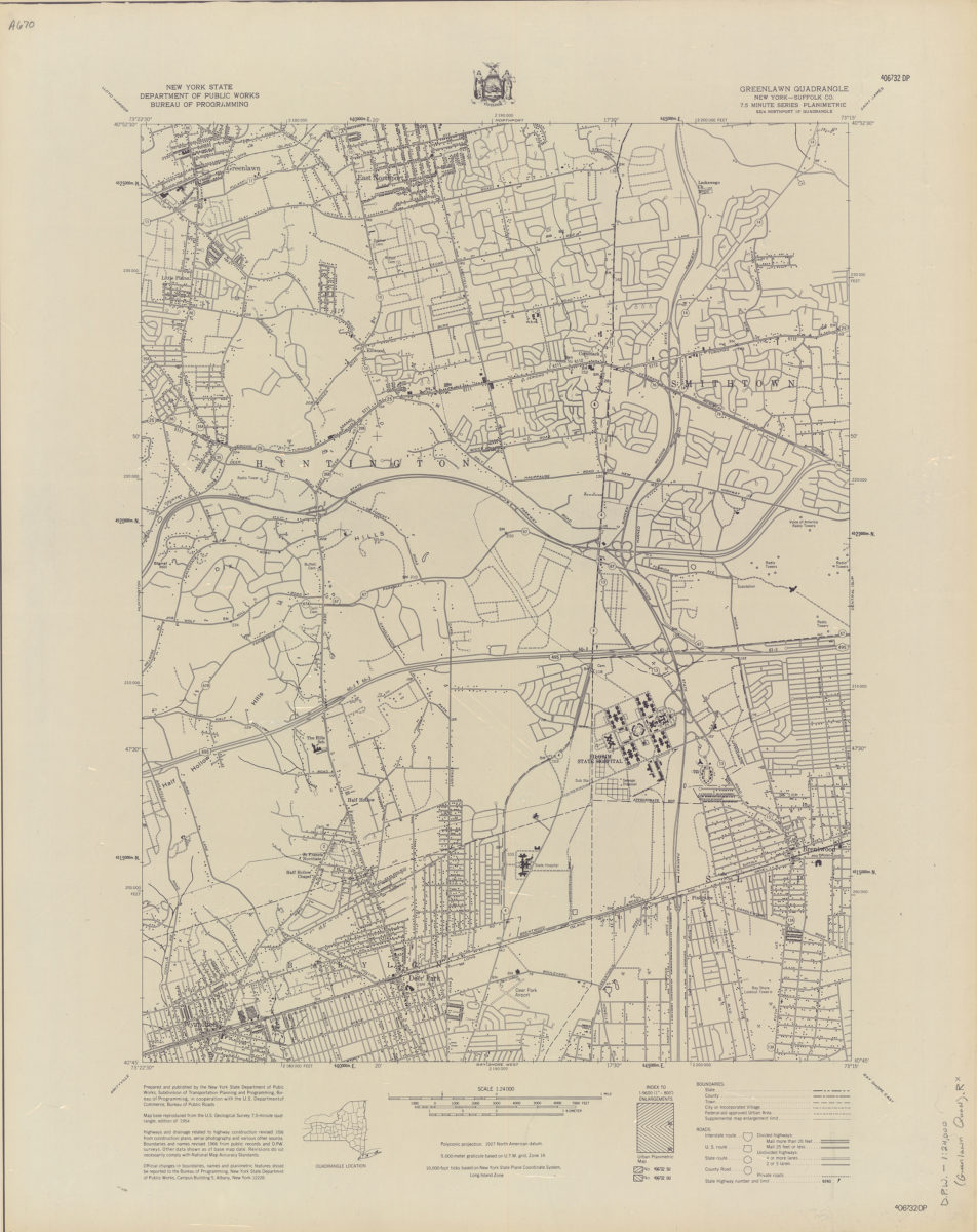
Greenlawn quadrangle, New York–Suffolk Co
Greenlawn quadrangle, New York–Suffolk Co
[1966]
Greenport quadrangle, New York–Suffolk Co
Greenport quadrangle, New York–Suffolk Co
[1966]
Hicksville quadrangle, New York–Nassau Co
Hicksville quadrangle, New York–Nassau Co
[1966]
Howell Point quadrangle, New York–Suffolk Co
Howell Point quadrangle, New York–Suffolk Co
[1966]
Jones Inlet quadrangle, New York–Nassau Co
Jones Inlet quadrangle, New York–Nassau Co
[1966]
Patchogue quadrangle, New York–Suffolk Co
Patchogue quadrangle, New York–Suffolk Co
[1966]
Napeague Beach quadrangle, New York–Suffolk Co
Napeague Beach quadrangle, New York–Suffolk Co
[1966]
Lynbrook quadrangle, New York
Lynbrook quadrangle, New York
[1966]
Mattituck quadrangle, New York–Suffolk Co
Mattituck quadrangle, New York–Suffolk Co
[1966]
Mattituck Hills quadrangle, New York–Suffolk Co
Mattituck Hills quadrangle, New York–Suffolk Co
[1966]
Lawrence quadrangle, New York
Lawrence quadrangle, New York
[1966]
Middle Island quadrangle, New York–Suffolk Co
Middle Island quadrangle, New York–Suffolk Co
[1966]
Montauk Point quadrangle, New York–Suffolk Co
Montauk Point quadrangle, New York–Suffolk Co
[1966]
Moriches quadrangle, New York–Suffolk Co
Moriches quadrangle, New York–Suffolk Co
[1966]
Coney Island quadrangle, New York–New Jersey: 7.5 minute series (topographic): mapped, edited, and published by the Geological Survey ; revised in cooperation with New York Department of Transportation
Coney Island quadrangle, New York–New Jersey: 7.5 minute series (topographic): mapped, edited, and published by the Geological Survey ; revised in cooperation with New York Department of Transportation
1968
Sea Cliff quadrangle, New York
Sea Cliff quadrangle, New York
[1968]
Far Rockaway quadrangle, New York
Far Rockaway quadrangle, New York
[1969]
Flushing quadrangle, New York
Flushing quadrangle, New York
[1969]
Coney Island quadrangle, New York–New Jersey
Coney Island quadrangle, New York–New Jersey
[1969]
Transportation/planning map, New York State–South: prepared and published by the New York State Department of Transportation in cooperation with the Federal Highway Administration, U.S. Department of Transportation
Transportation/planning map, New York State–South: prepared and published by the New York State Department of Transportation in cooperation with the Federal Highway Administration, U.S. Department of Transportation
[1970; 1970]
Long Island, New York City & metro area counties: [prepared for] Texaco
Long Island, New York City & metro area counties: [prepared for] Texaco
1975
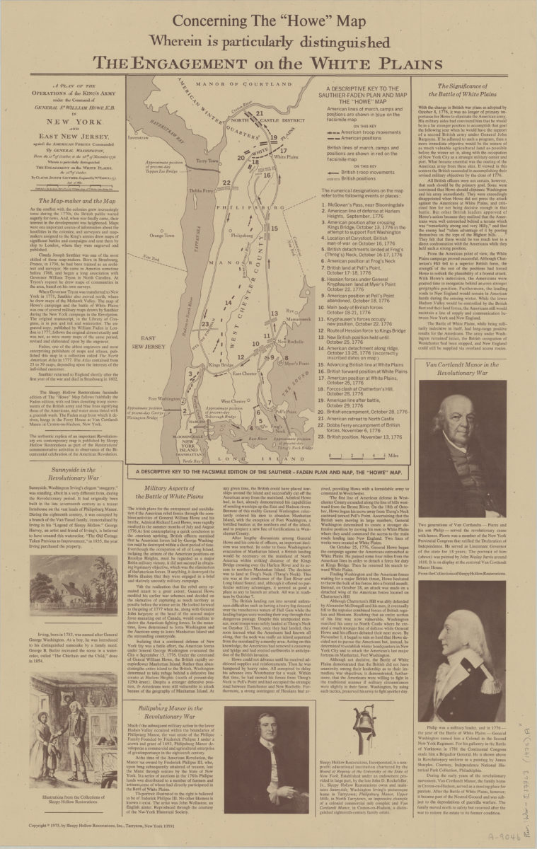
Concerning the “Howe” map, wherein is particularly distinguished the engagement on the White Plains
Concerning the “Howe” map, wherein is particularly distinguished the engagement on the White Plains
[ca. 1975]
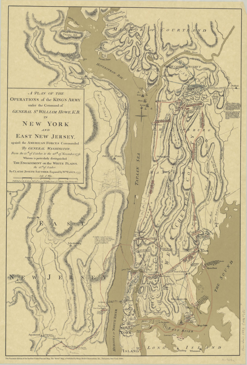
A plan of the operations of the King’s army under the command of General Sr. William Howe, K.B. in New York and East New Jersey against the American forces commanded by General Washington, from the 12th of October, to the 28th of November 1776
A plan of the operations of the King’s army under the command of General Sr. William Howe, K.B. in New York and East New Jersey against the American forces commanded by General Washington, from the 12th of October, to the 28th of November 1776
[ca. 1976]
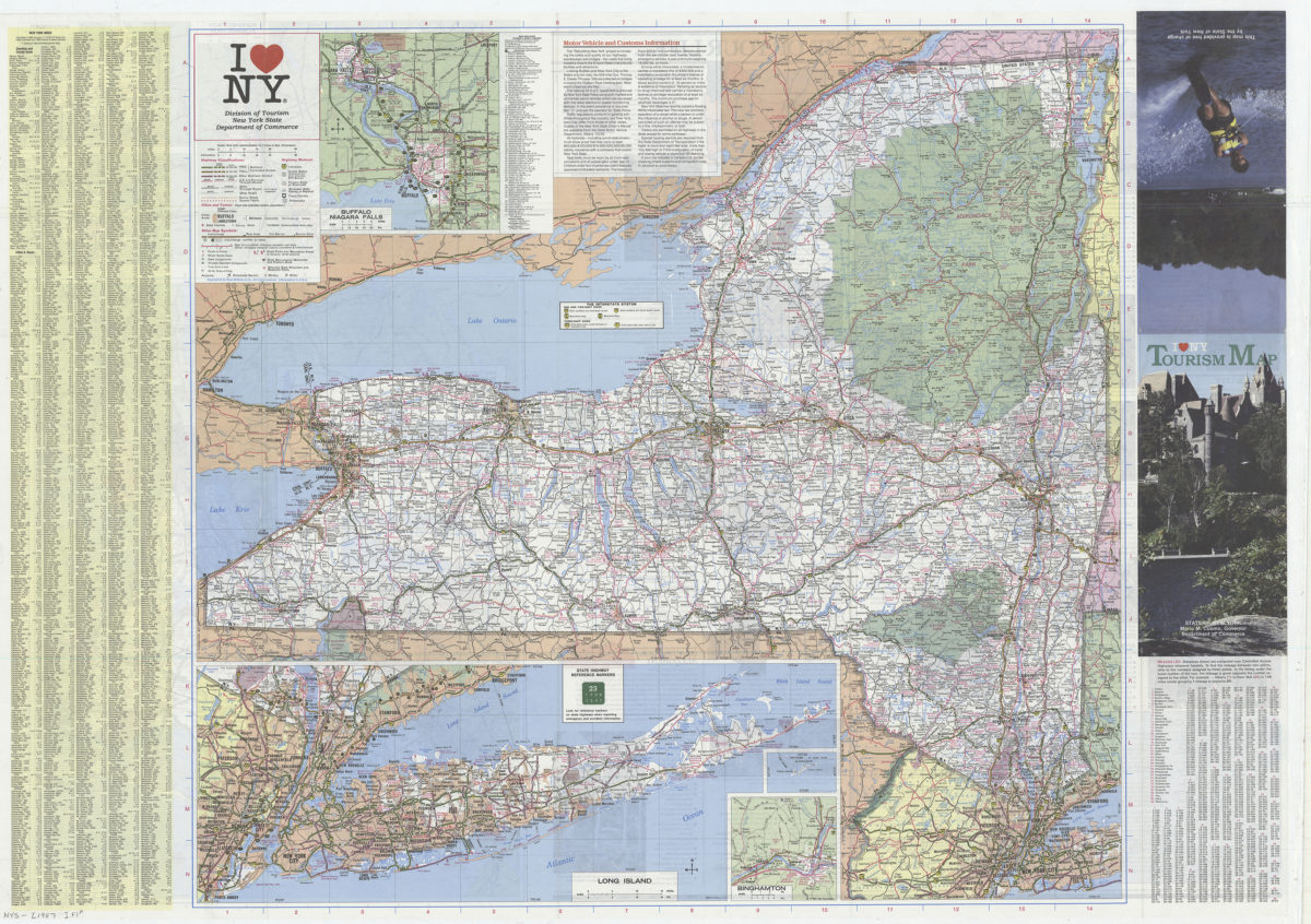
I [heart symbol] NY: Division of Tourism, New York State Department of Commerce
I [heart symbol] NY: Division of Tourism, New York State Department of Commerce
[1987]
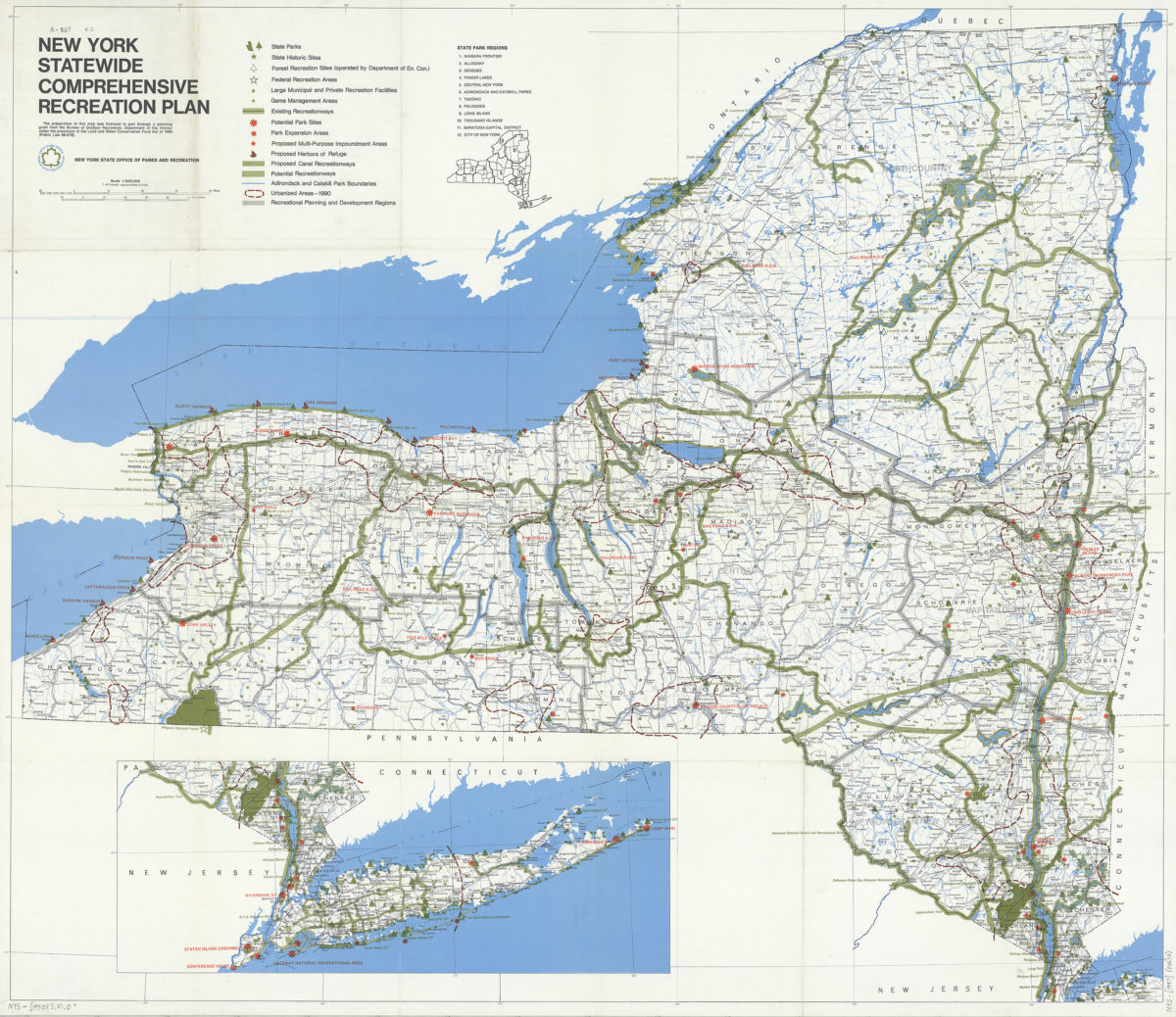
New York statewide comprehensive recreation plan
New York statewide comprehensive recreation plan
[1990]
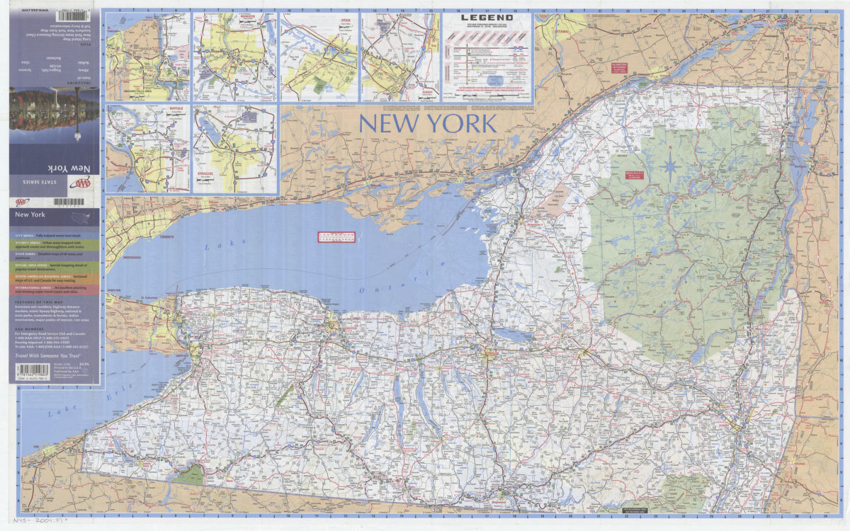
New York: including insets of Albany, Buffalo, Niagara Falls NY-ON, Rochester, Syracuse, Utica, plus Long Island map … toll & ferry information: AAA
New York: including insets of Albany, Buffalo, Niagara Falls NY-ON, Rochester, Syracuse, Utica, plus Long Island map … toll & ferry information: AAA
[2004]
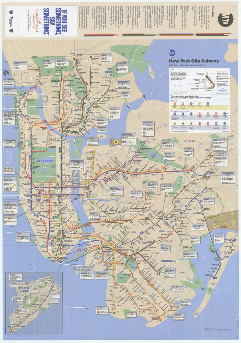
The map: MTA
The map: MTA
2014
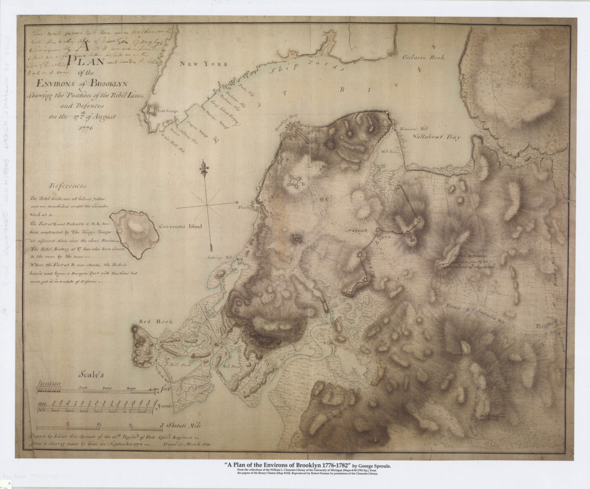
A plan of the environs of Brooklyn showing the position of the rebel lines and defences on the 27th of August 1776
A plan of the environs of Brooklyn showing the position of the rebel lines and defences on the 27th of August 1776
[2017]
Previous
1
2