Center for Brooklyn History
Map Collections
Search
About
Othmer Library & Archives
Submit search query
Refine 3 records
Clear filters
2
Location
Brooklyn (New York, N.Y.)
891
Flatbush (New York, N.Y.)
35
Manhattan (New York, N.Y.)
120
New York (N.Y.)
164
New York (State)
95
United States
10
Subject
Decedents' estates
1
Landowners
434
Manuscript Maps
2
Real property
619
Date
19th Century
945
21th Century
66
or enter range:
from
to
Genres
Cadastral maps
597
Early works
3
Facsimiles
1
Manuscript maps
365
Pictorial maps
38
Sort by:
Date (earliest)
Date (most recent)
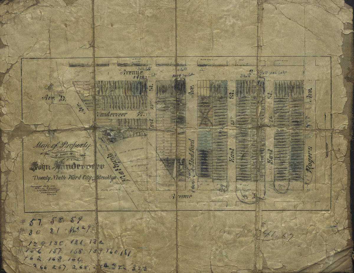
Map of property of heirs of John Vanderveer, Twenty-Ninth Ward, city of Brooklyn: surveyed July 1896 [by] Charles Crooke, city surveyor
Map of property of heirs of John Vanderveer, Twenty-Ninth Ward, city of Brooklyn: surveyed July 1896 [by] Charles Crooke, city surveyor
[1896]
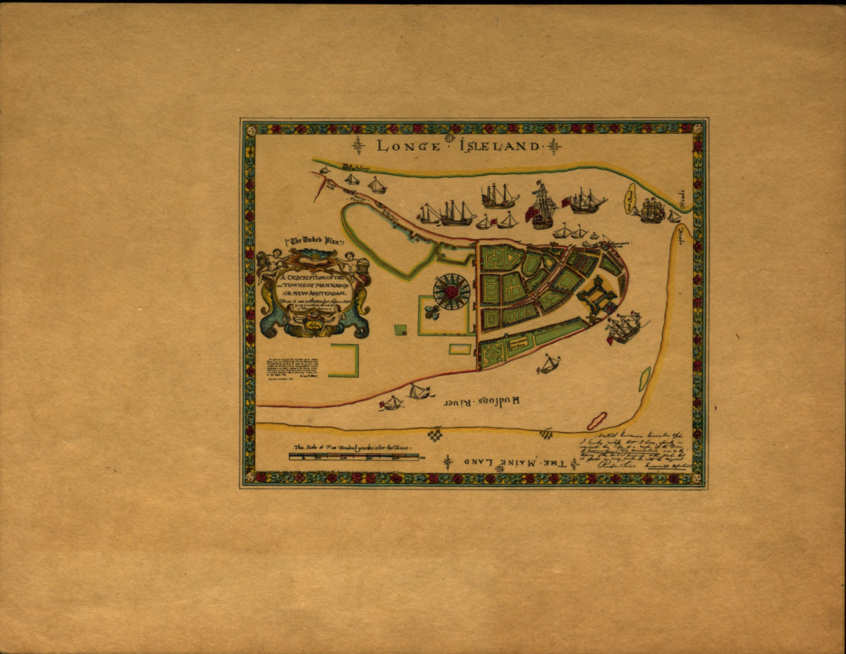
A description of the towne of Mannados or New Amsterdam: as it was in September 1661 lying in latitude 40 de. and 40 m. anno Domini 1664
A description of the towne of Mannados or New Amsterdam: as it was in September 1661 lying in latitude 40 de. and 40 m. anno Domini 1664
[1897]
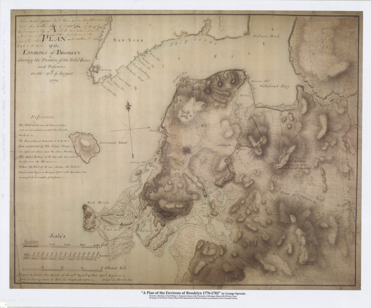
A plan of the environs of Brooklyn showing the position of the rebel lines and defences on the 27th of August 1776
A plan of the environs of Brooklyn showing the position of the rebel lines and defences on the 27th of August 1776
[2017]