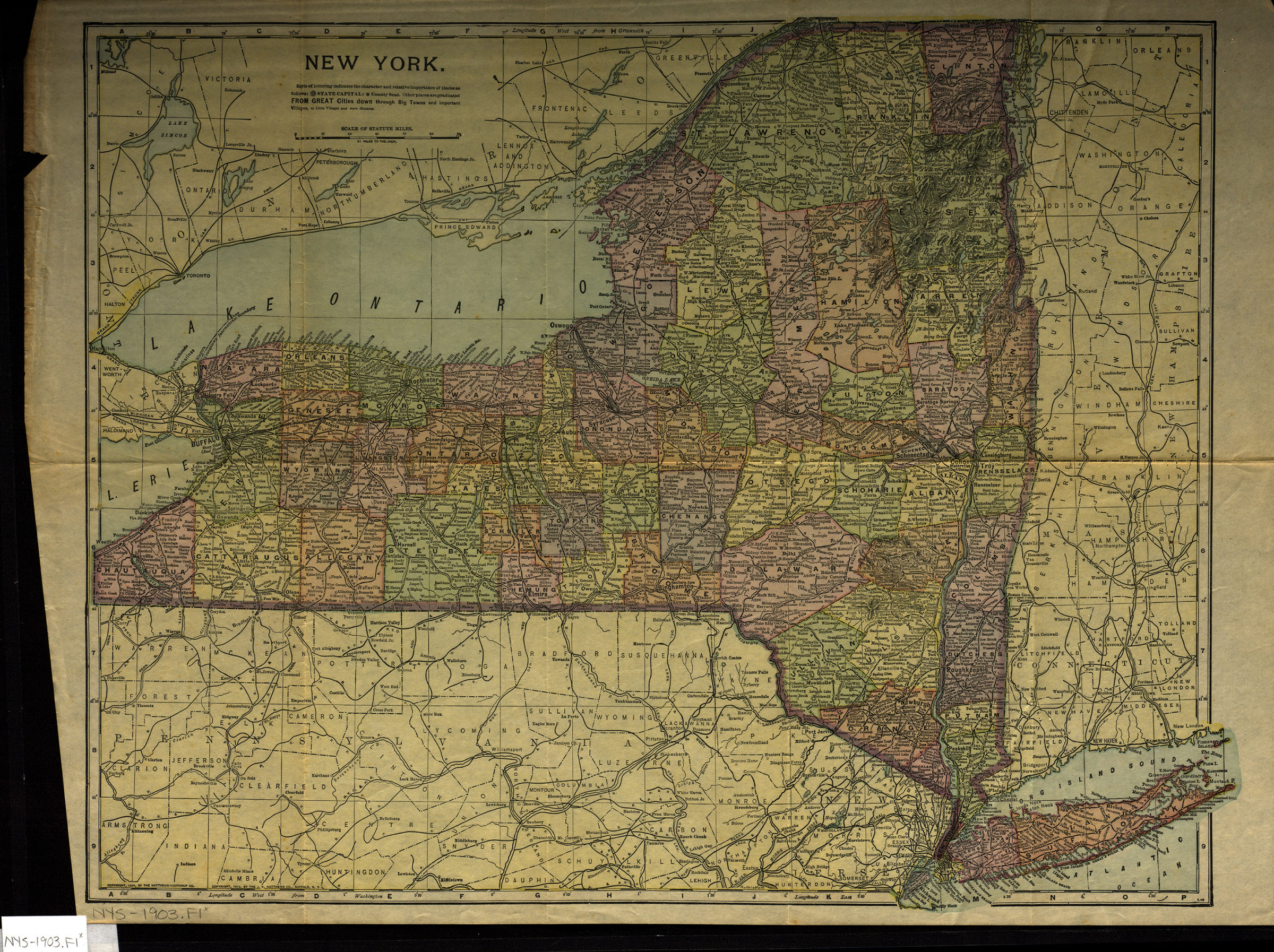
New York [1903; 1903]
Map No. NYS-1903.Fl
Map of New York State also covers parts of Pennsylvania, Connecticut, Massachusetts, Vermont, and Canada. Shows counties, municipalities and major roads. Relief shown by hachures.
Places
Map area shown
Genre
MapRelation
Full catalog recordSize
39 × 50 cmDownload
Low Resolution Image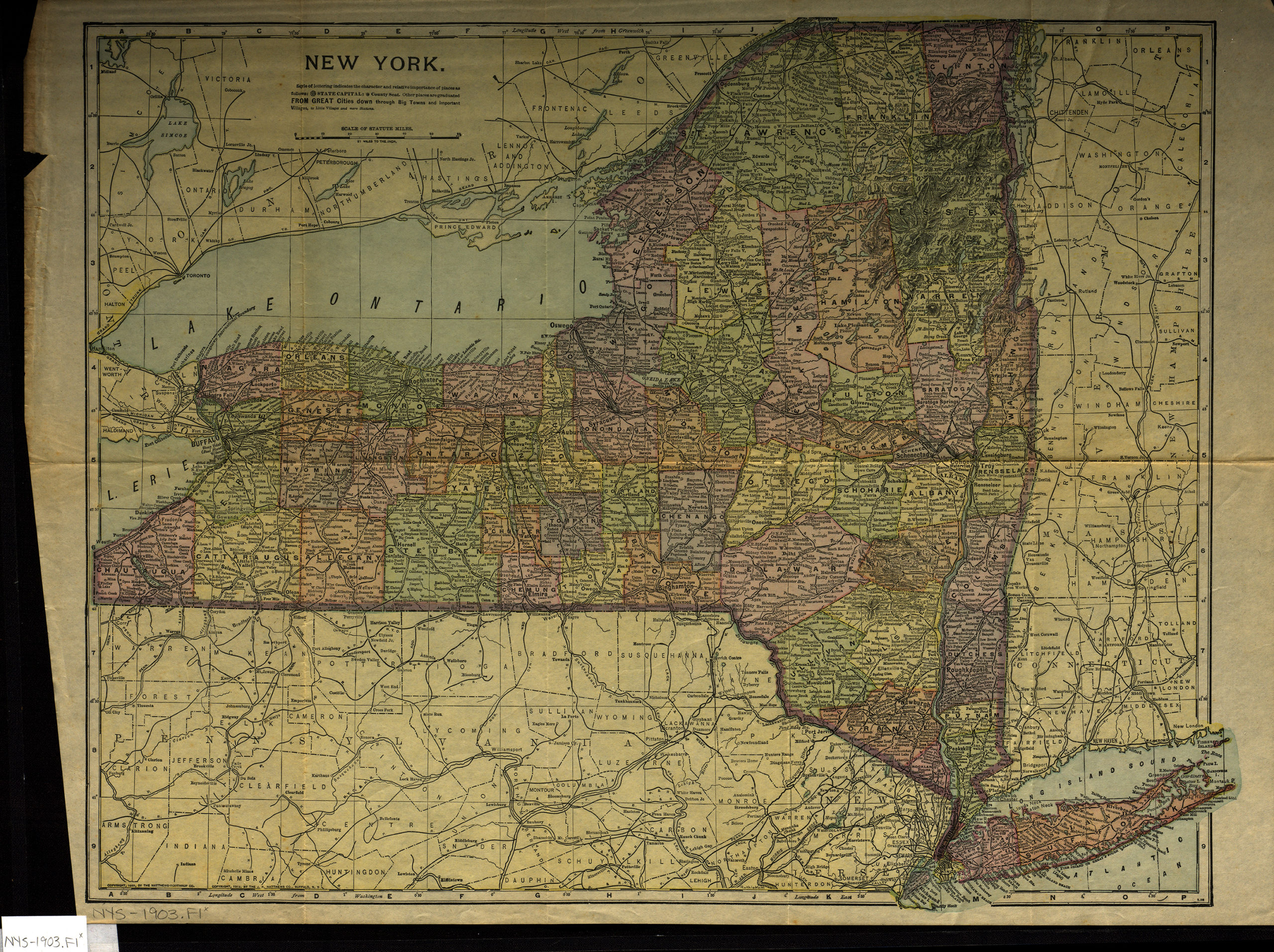
Creator
Publisher
Brooklyn Historical SocietyCitation
New York; [1903; 1903], Map Collection, NYS-1903.Fl; Brooklyn Historical Society.Scale
Scale 1:1,330,560. 1 in tLoading zoom image... 