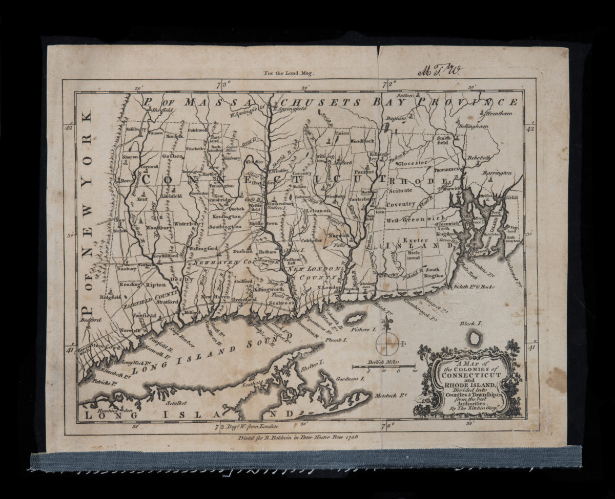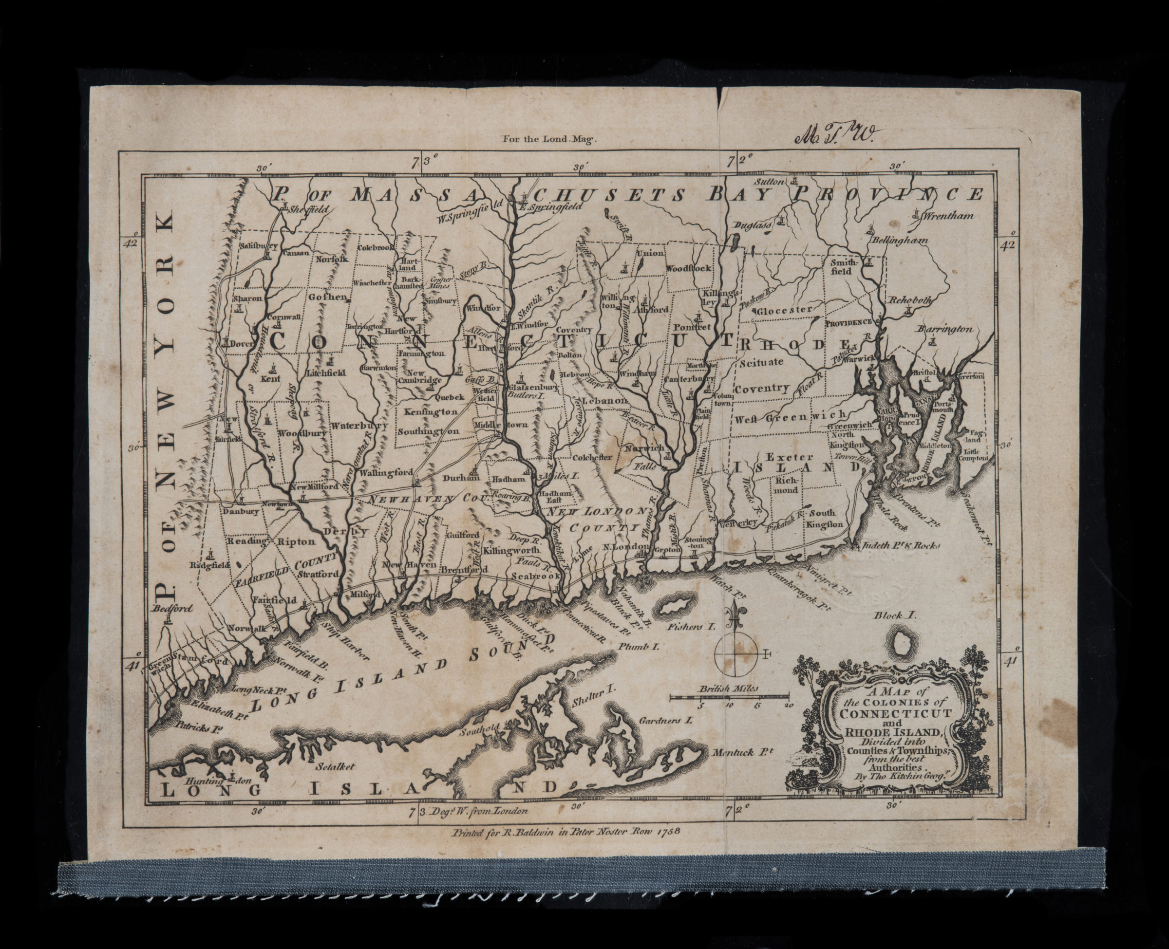
A map of the colonies of Connecticut and Rhode Island, divided into counties & townships, from the best authorities: by Tho. Kitchin, geog’r 1758
Map No. CT-1758.Fl.RA
Relief shown pictorially. “For the Lond. Mag.”–Upper margin. Prime meridian: London.
Places
Map area shown
Genre
Early mapsRelation
Full catalog recordSize
16 × 22 cmDownload
Low Resolution Image
Creator
Kitchin, Thomas,Publisher
Brooklyn Historical SocietyCitation
A map of the colonies of Connecticut and Rhode Island, divided into counties & townships, from the best authorities: by Tho. Kitchin, geog’r; 1758, Map Collection, CT-1758.Fl.RA; Brooklyn Historical Society.Scale
Scale [ca. 1:1,045,440]Loading zoom image...