Center for Brooklyn History
Map Collections
Search
About
Othmer Library & Archives
Submit search query
Refine 2 records
Clear filter
1
Location
Connecticut
7
New York (State)
95
Rhode Island
2
Subject
Date
18th Century
12
19th Century
945
or enter range:
from
to
Genres
Early maps
35
Map
191
Sort by:
Date (earliest)
Date (most recent)
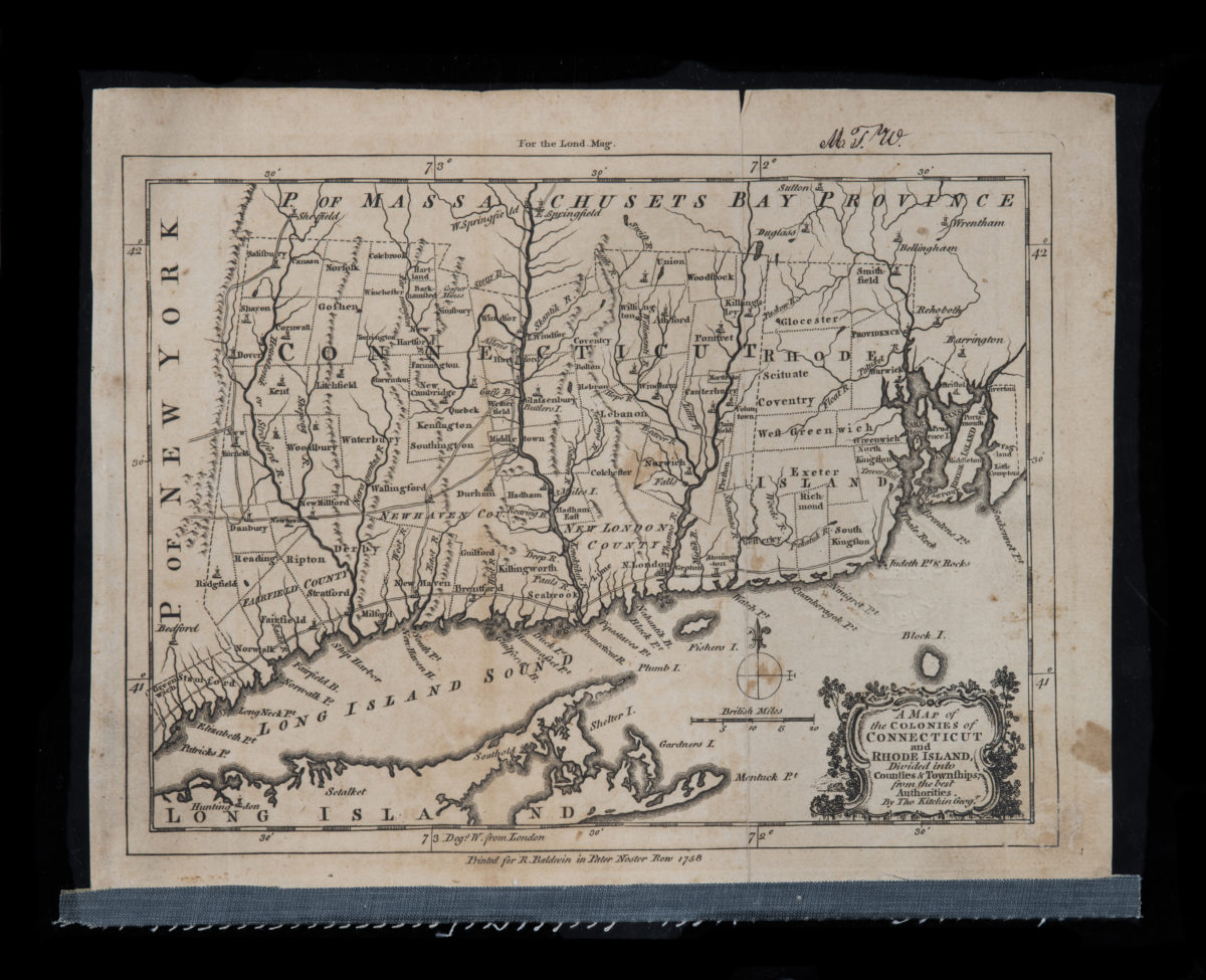
A map of the colonies of Connecticut and Rhode Island, divided into counties & townships, from the best authorities: by Tho. Kitchin, geog’r
A map of the colonies of Connecticut and Rhode Island, divided into counties & townships, from the best authorities: by Tho. Kitchin, geog’r
1758
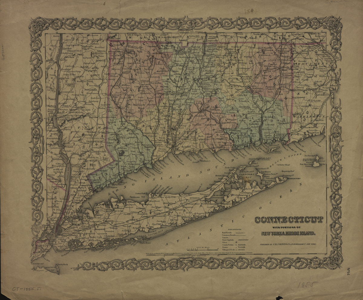
Connecticut: with portions of New York & Rhode Island
Connecticut: with portions of New York & Rhode Island
[1855]