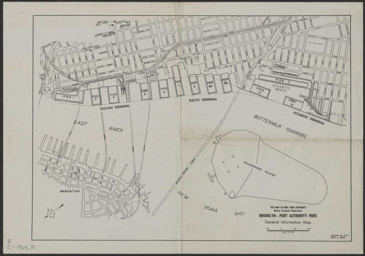
Brooklyn-Port Authority piers: general information map 1964
Map No. B C-1964.Fl
Shows the Fulton, Baltic, and Atlantic Terminals. Covers Brooklyn waterfront from Fulton Street to Coffee Street, in Brooklyn Heights and Red Hook. Also shows Governors Island and part of Lower Manhattan. Shows piers, basins, and buildings. “Drawing no. MTD. 4, May 1 1964.”
Subjects
Places
Map area shown
Genre
Transportation mapsRelation
Full catalog recordSize
25 × 36 cmDownload
Low Resolution Image
Creator
Port of New York Authority; Marine Terminals Department,Publisher
Brooklyn Historical SocietyCitation
Brooklyn-Port Authority piers: general information map; 1964, Map Collection, B C-1964.Fl; Brooklyn Historical Society.Scale
Scale approximately 1:980Loading zoom image...