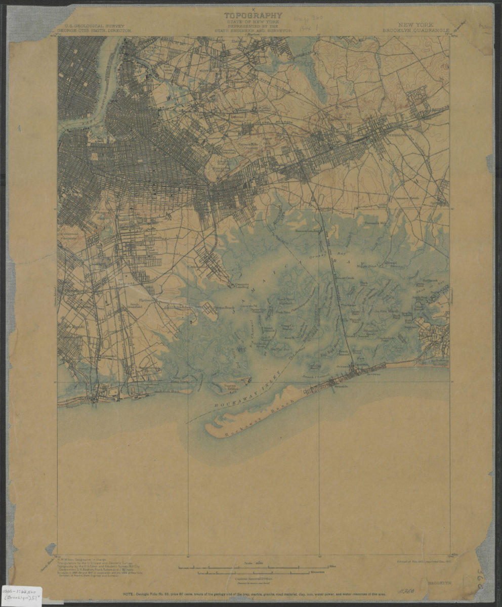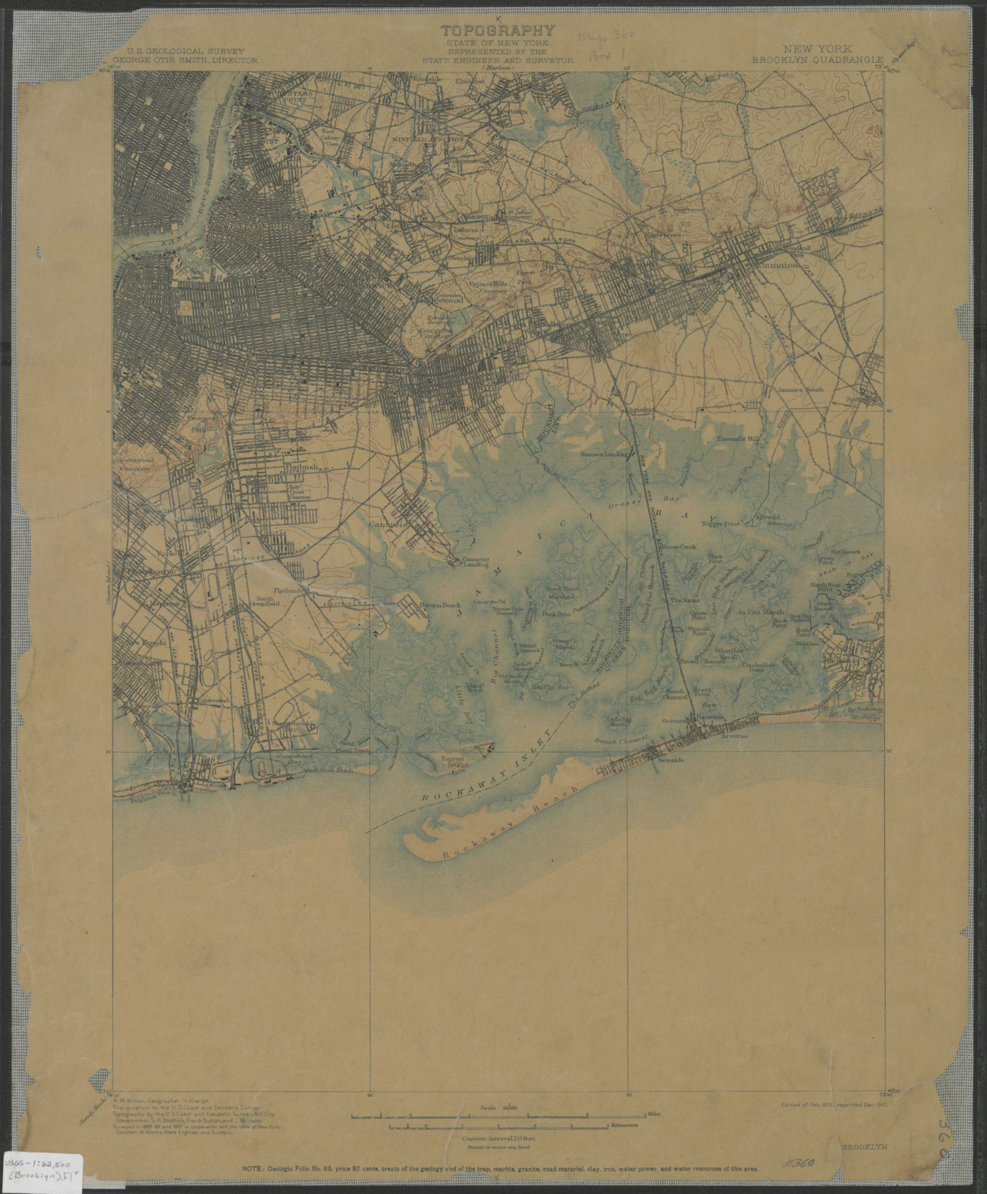
Brooklyn quadrangle, New York: U.S. Geological Survey 1900; 1910
Map No. USGS-1:62,500 (Brooklyn).Fl
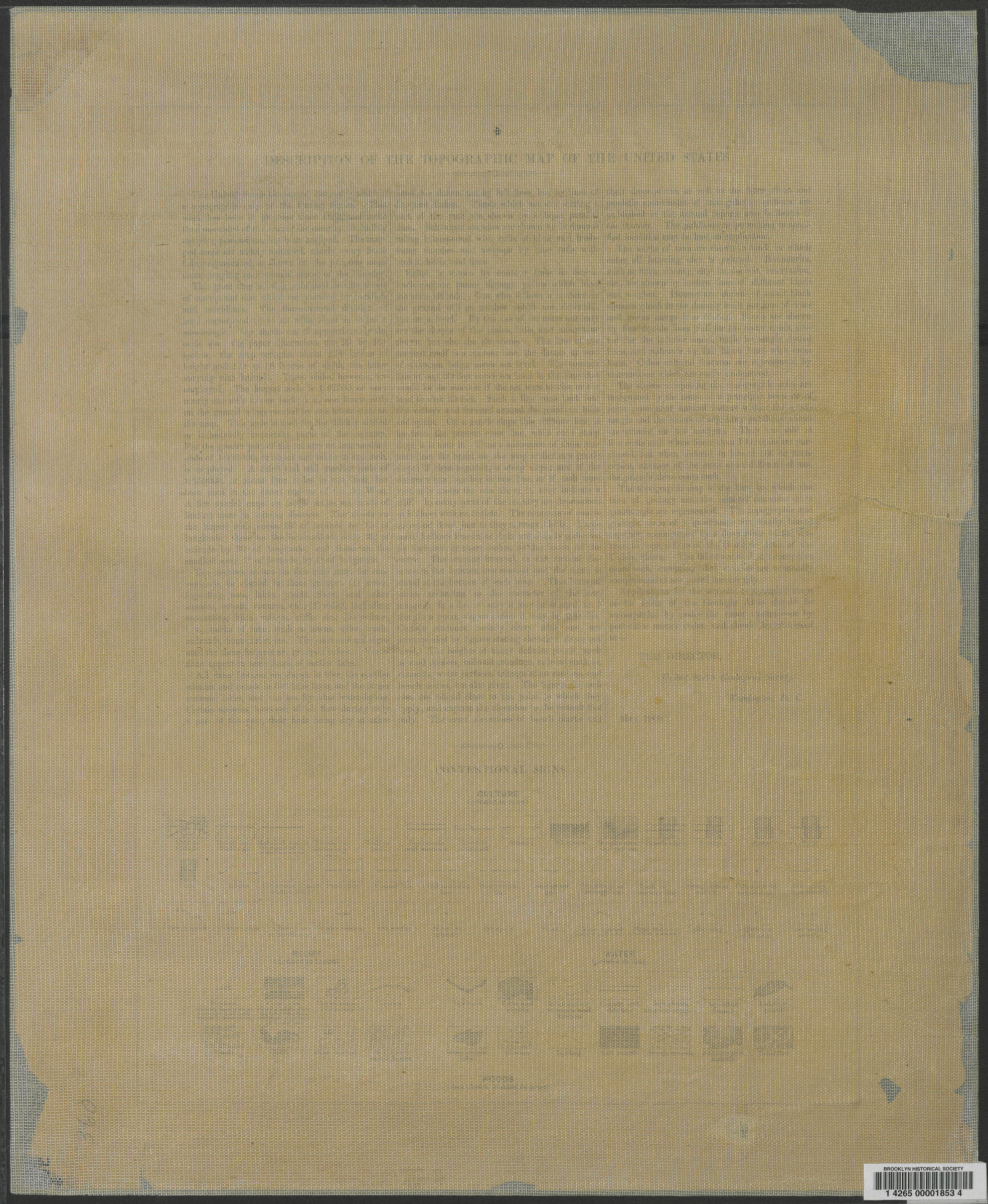
Shows portions of Brooklyn, Queens, Manhattan and Jamiaca Bay. “Surveyed in 1888-89 and 1897 in cooperation with the State of New York.” Relief indicated by contour lines. “H.M. Wilson, Geographer in charge. Triangulation by the U.S. Coast and Geodetic Survey. Topography by the U.S. Coast and Geodetic Survey, N.Y. City Government, S.H. Bodfish, Frank Sutton, and J.W. Thom.” “Edition of Feb. of 1900, reprinted Dec. 1910.” Text and legend on verso.
Places
Map area shown
Genre
Topographic mapsRelation
Full catalog recordSize
51 × 42 cmDownload
Low Resolution Image
Creator
Geological Survey (U.S.),Publisher
Brooklyn Historical SocietyCitation
Brooklyn quadrangle, New York: U.S. Geological Survey; 1900; 1910, Map Collection, USGS-1:62,500 (Brooklyn).Fl; Brooklyn Historical Society.Scale
Scale 1:62,500Loading zoom image...