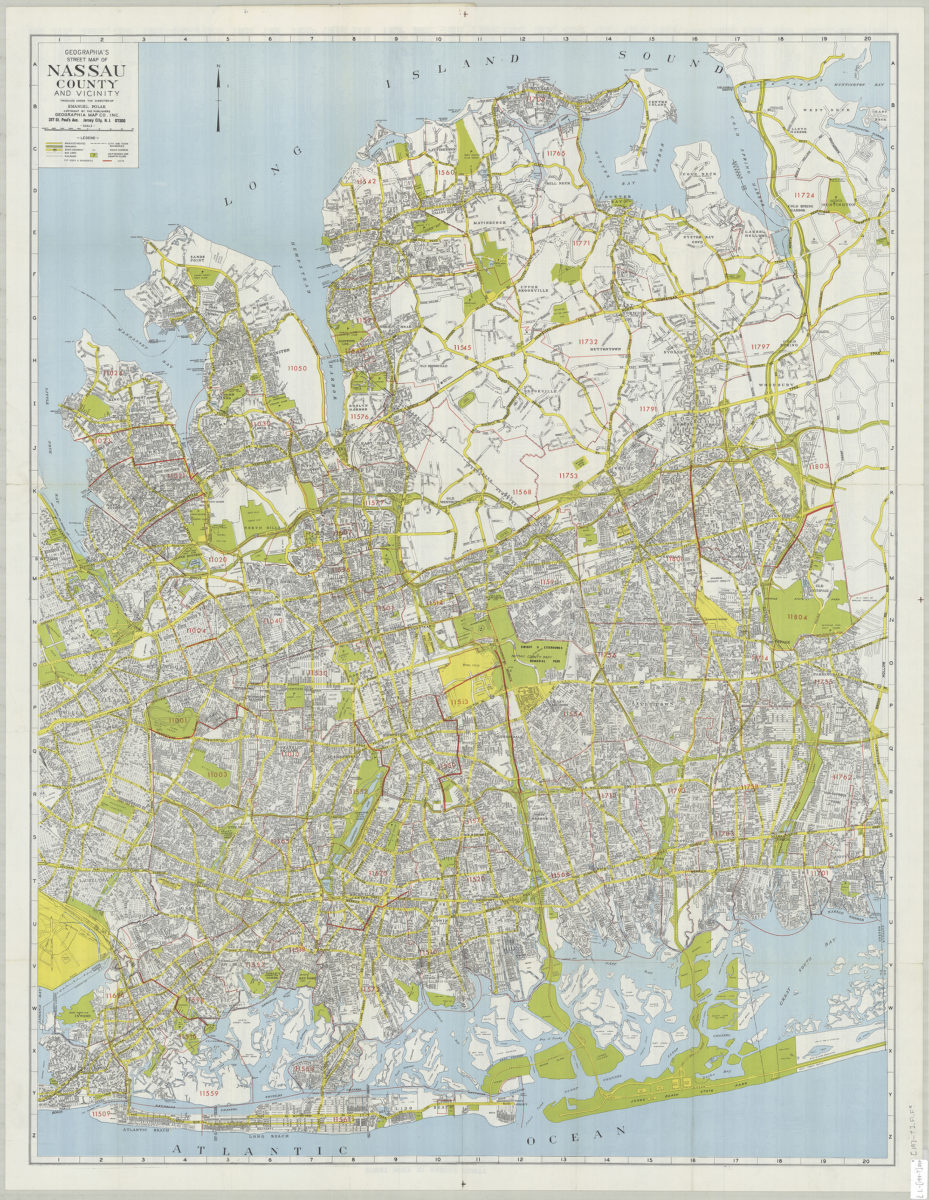
Geographia’s street map of Nassau County and vicinity: produced under the direction of Emanuel Polak [197?]
Map No. L.I.-[197-?].Fl.Folio
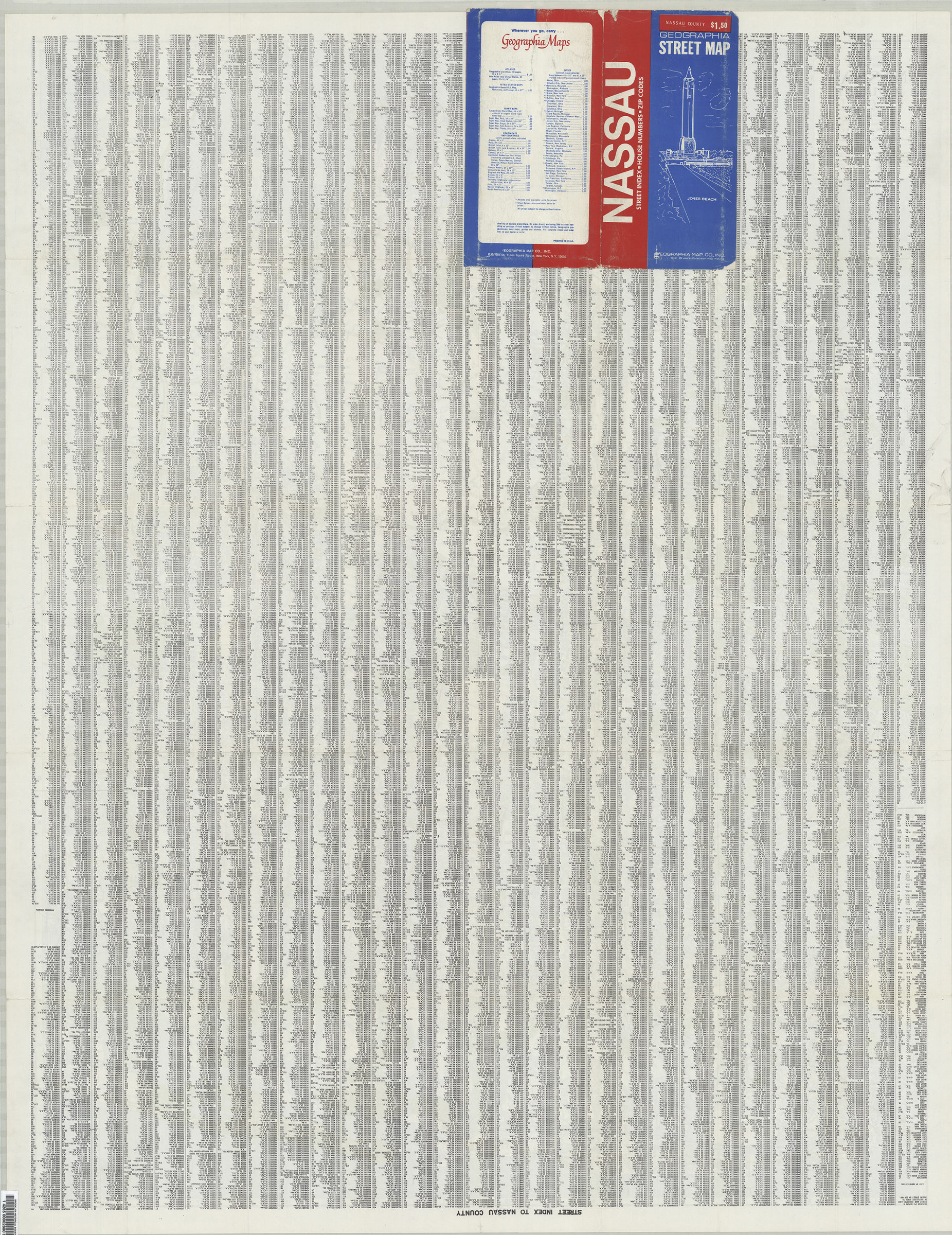
On verso: street index.
Map area shown
Genre
Road mapsRelation
Full catalog recordSize
108 × 82 cmDownload
Low Resolution Image
Creator
Geographia Map Company,Publisher
Brooklyn Historical SocietyCitation
Geographia’s street map of Nassau County and vicinity: produced under the direction of Emanuel Polak; [197?], Map Collection, L.I.-[197-?].Fl.Folio; Brooklyn Historical Society.Scale
Scale approximately 1:36,Loading zoom image...