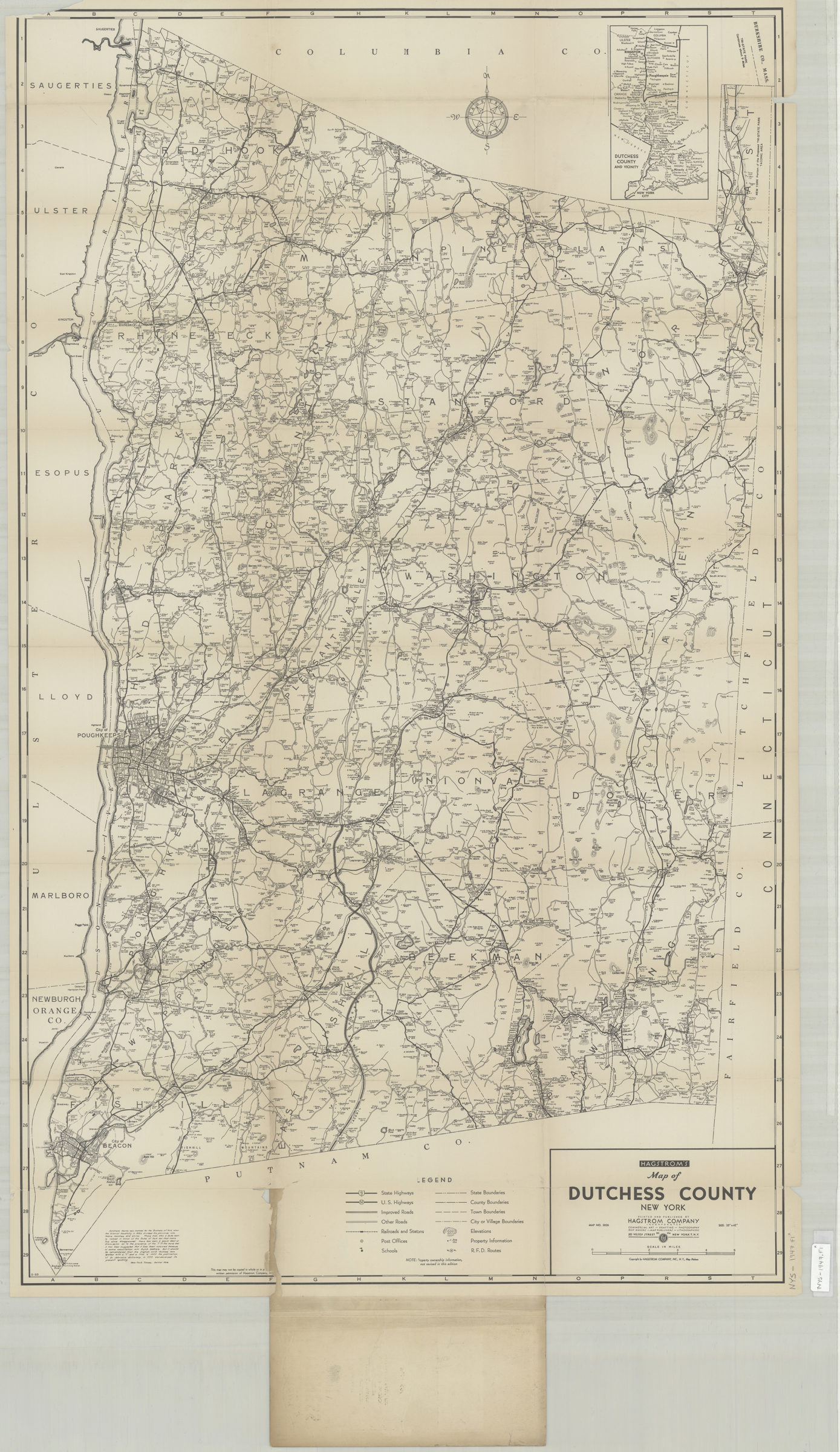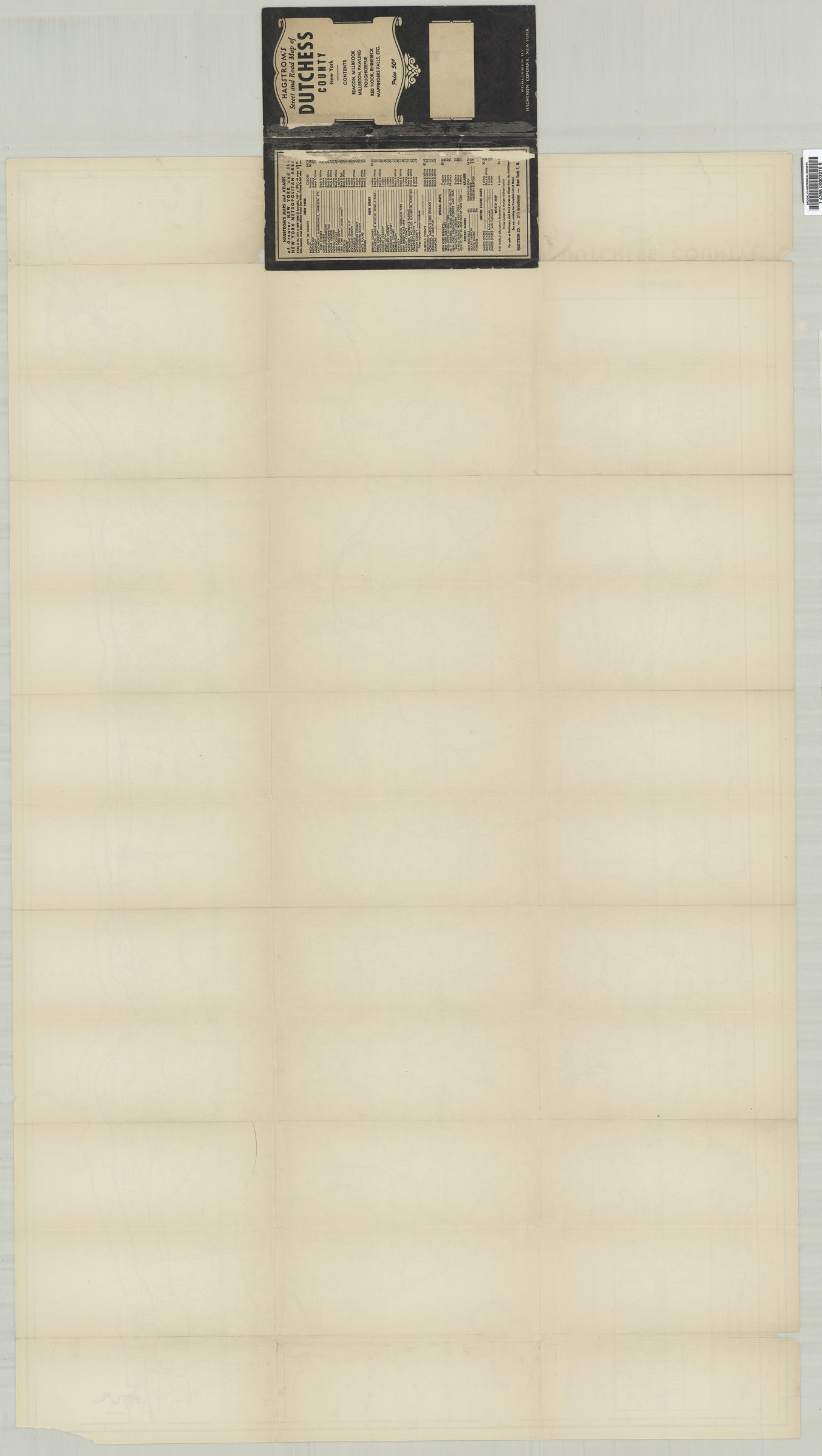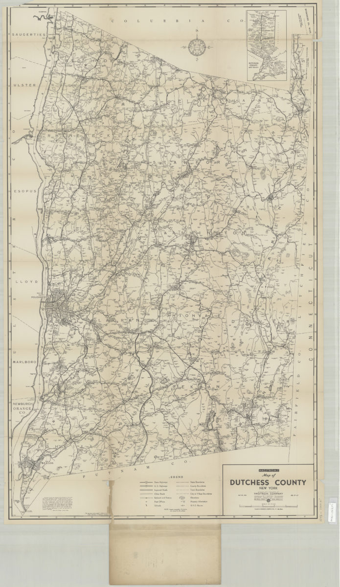

Hagstrom’s street and road map of Dutchess County, New York: contents Beacon, Millbrook, Millerton, Pawling, Poughkeepsie, Red Hook, Rhinebeck, Wappingers Falls, etc [1916-1924]
Map No. NYS-1947.Fl
Cover title. Relief shown by hachures. Includes inset location map. “Map no. 3026.” Publication date derived from code: S-SO.
Map area shown
Genre
Road mapsRelation
Full catalog recordSize
101 × 60 cmDownload
Low Resolution ImageCreator
Hagstrom Company,Publisher
Brooklyn Historical SocietyCitation
Hagstrom’s street and road map of Dutchess County, New York: contents Beacon, Millbrook, Millerton, Pawling, Poughkeepsie, Red Hook, Rhinebeck, Wappingers Falls, etc; [1916-1924], Map Collection, NYS-1947.Fl; Brooklyn Historical Society.Scale
Scale approximately 1:84,Loading zoom image... 
