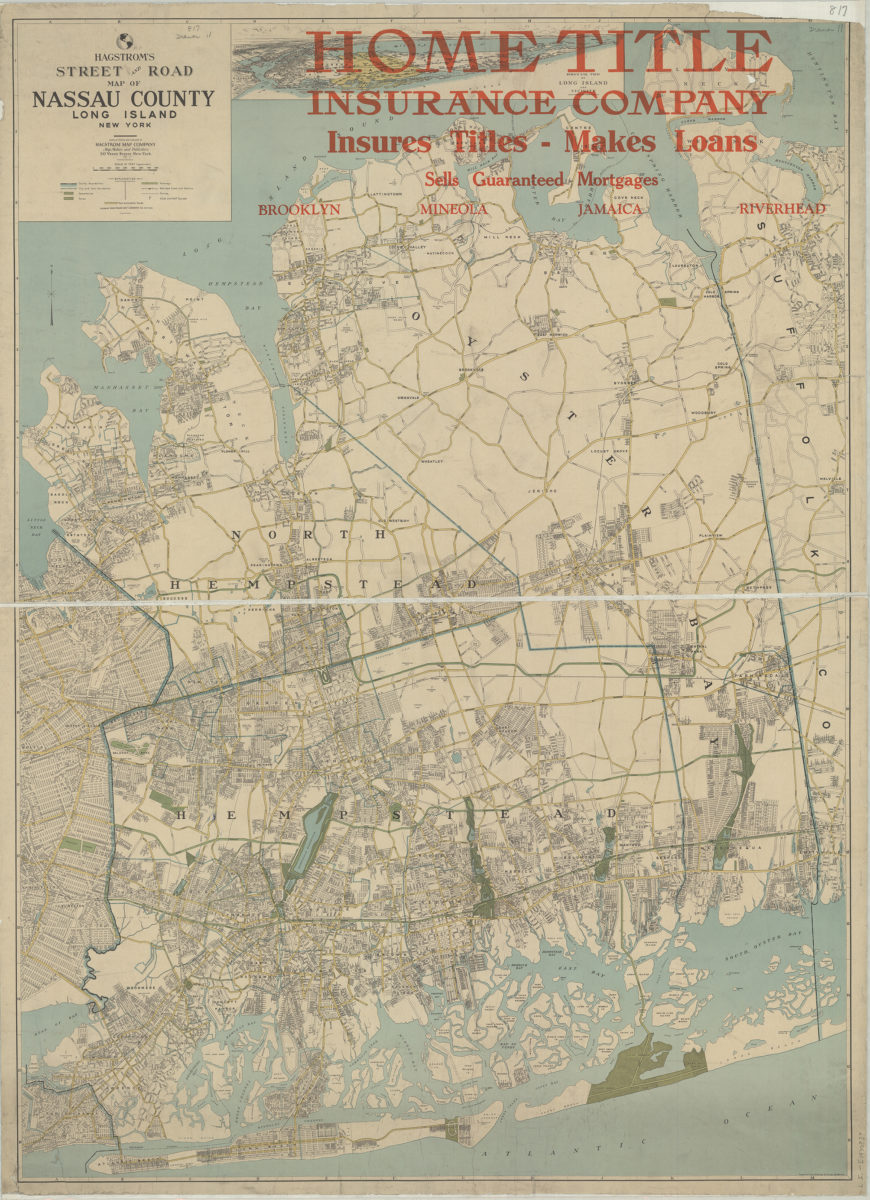
Hagstrom’s street and road map of Nassau County, Long Island, New York: compiled, printed and published by Hagstrom Map Company [1930]
Map No. L.I.-[1930?].Fl
Also covers portions of Queens and Suffolk Counties. Shows cemeteries, parks, railroad lines and stations, ferries, clubs and golf courses. Includes key and inset. Inset: Bird’s eye view of Long Island and vicinity. Keyed to index no index present. BHS copy dissected, mounted on linen, imperfect: missing upper right corner. Stamped: Home Title Insurance Company, insures titles, makes loans. Sells guaranteed mortgages. Brooklyn, Mineola, Jamaica, Riverhead.
Map area shown
Genre
Road mapsRelation
Full catalog recordSize
106 × 77 cmDownload
Low Resolution Image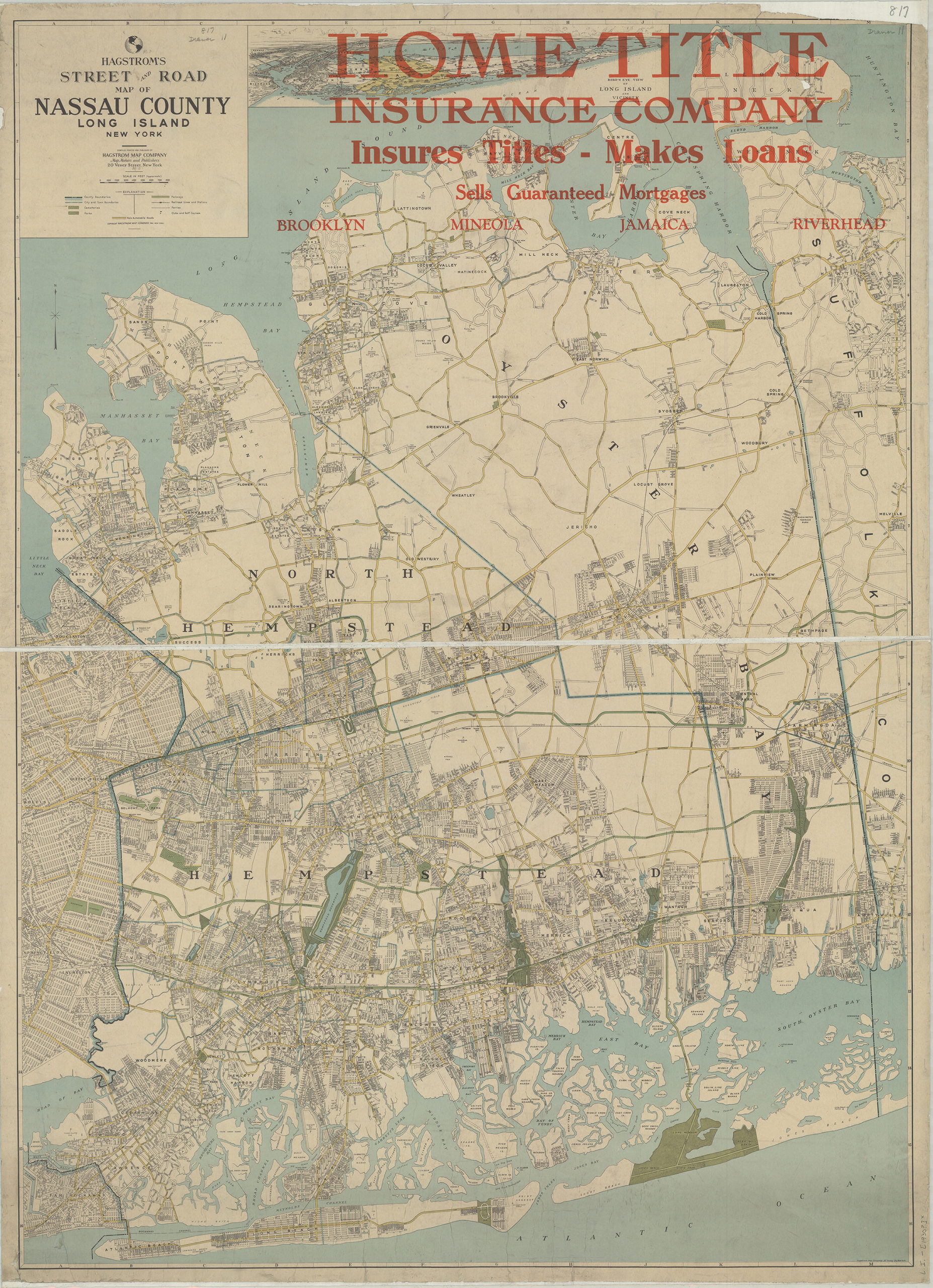
Creator
Hagstrom Map Company,Publisher
Brooklyn Historical SocietyCitation
Hagstrom’s street and road map of Nassau County, Long Island, New York: compiled, printed and published by Hagstrom Map Company; [1930], Map Collection, L.I.-[1930?].Fl; Brooklyn Historical Society.Scale
Scale [ca. 1:41,330]Loading zoom image...