
Jamaica Bay: U.S. Coast Survey, A.D. Bache, supt [185?]
Map No. L.I.-1855.Fl.O
Nautical chart. Also covers Rockaway Peninsula and the coasts of southern Brooklyn and Queens. Relief shown by hachures. Includes notes.
Subjects
Places
Map area shown
Relation
Full catalog recordSize
71 × 112 cmDownload
Low Resolution Image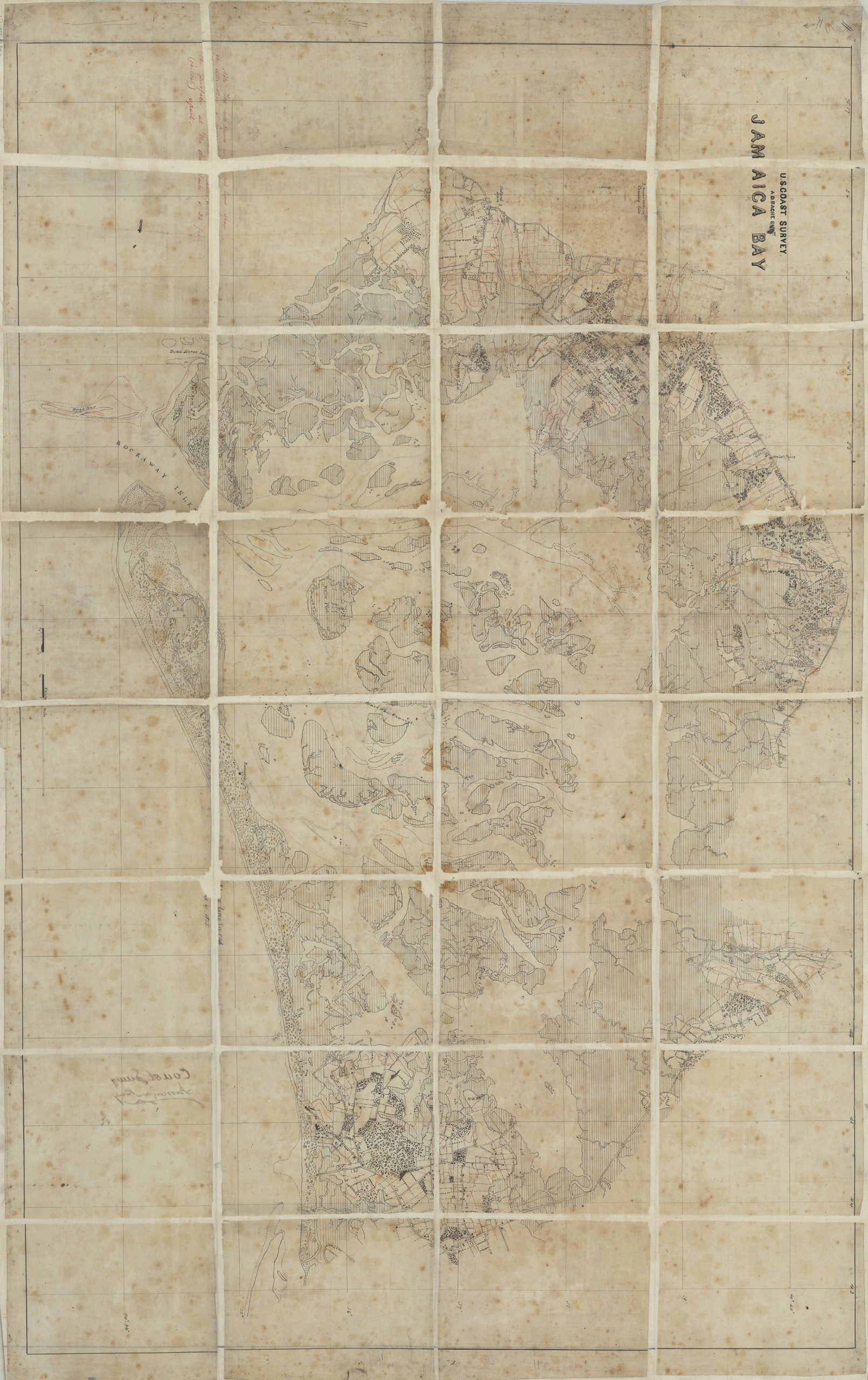
Creator
United States Coast Survey,Publisher
Brooklyn Historical SocietyCitation
Jamaica Bay: U.S. Coast Survey, A.D. Bache, supt; [185?], Map Collection, L.I.-1855.Fl.O; Brooklyn Historical Society.Scale
Scale [ca. 1:20,275]Loading zoom image... 