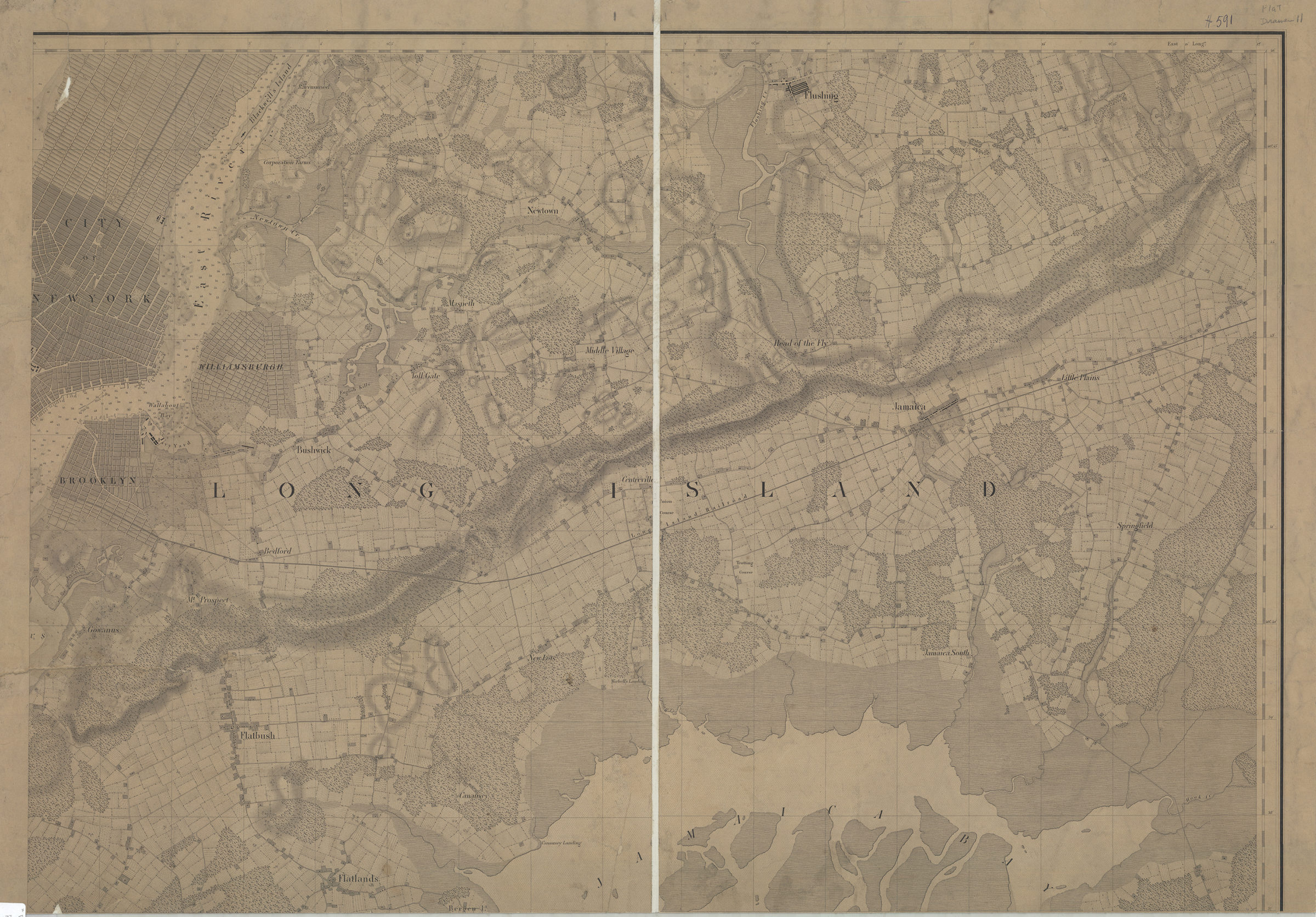
[Map of Long Island covering area east from Brooklyn to Springfield and north from Flatlands to Flushing] [18??]
Map No. L.I.-[18--?]a.Fl
Topographic map also covering portions of Manhattan and Blackwell’s Island. Relief shown by hachures. Depths shown by soundings. Title devised by cataloger. Extracted from an unknown map.
Places
Map area shown
Genre
Topographic mapsRelation
Full catalog recordSize
59 × 84 cmDownload
Low Resolution Image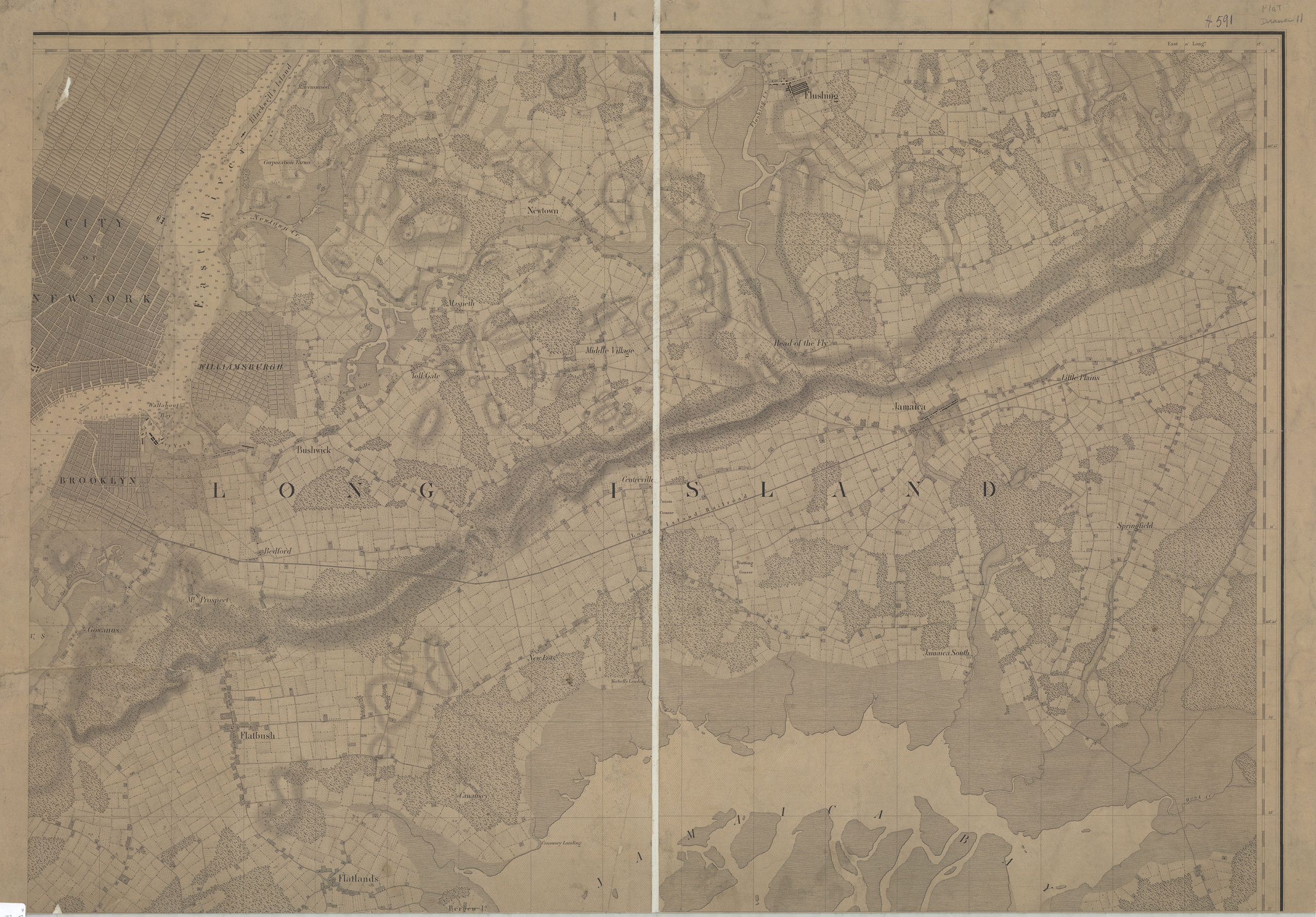
Creator
Publisher
Brooklyn Historical SocietyCitation
[Map of Long Island covering area east from Brooklyn to Springfield and north from Flatlands to Flushing]; [18??], Map Collection, L.I.-[18--?]a.Fl; Brooklyn Historical Society.Scale
Scale not givenLoading zoom image... 