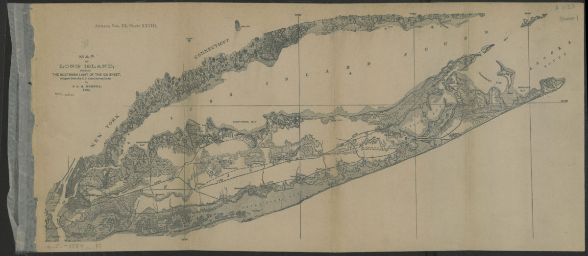
Map of Long Island, showing the southern limit of the ice sheet: adapted from the U.S. Coast Survey Chart: by F.J.H. Merrill [1886]
Map No. L.I.-[1886?].Fl
Topographic map also covering New York City, Long Island Sound, and the southern coast of Connecticut. Relief shown by hachures and landform drawings. Extracted from: The geology of Long Island / by F.J.H. Merrill. [S.l. : s.n., 1886?]. Map date: 1884. “Annals, vol. III, plate XXVIII.”
Map area shown
Genre
Topographic mapsRelation
Full catalog recordSize
22 × 49 cmDownload
Low Resolution Image
Creator
Merrill, F. J. H.,Publisher
Brooklyn Historical SocietyCitation
Map of Long Island, showing the southern limit of the ice sheet: adapted from the U.S. Coast Survey Chart: by F.J.H. Merrill; [1886], Map Collection, L.I.-[1886?].Fl; Brooklyn Historical Society.Scale
Scale 1:400,000Loading zoom image...