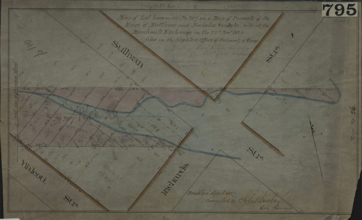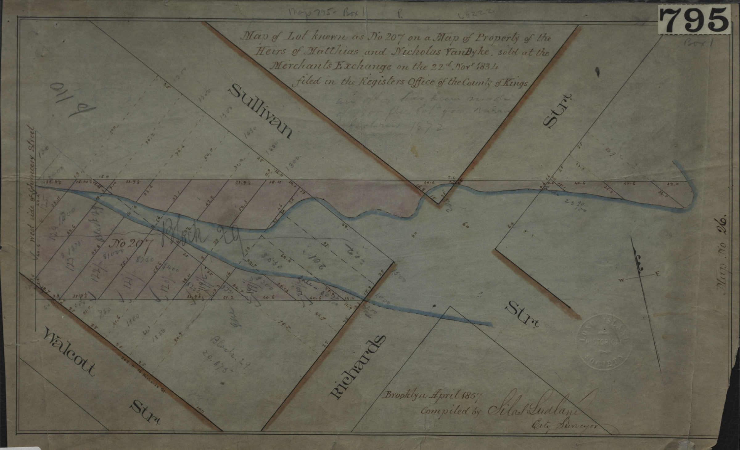
Map of lot known as No. 207 on a Map of property of the heirs of Matthias and Nicholas Van Byke, sold at the Merchants Exchange on the 22d Novr. 1834, filed in the Register’s Office of the County of Kings: compiled by Silas Ludlam, city surveyor April 1857
Map No. B P-1857a.Fl
Cadastral map covering the intersection of Sullivan St. and Richards St. (modern-day Red Hook). Shows property (including lots and dimensions). “Map No. 26.”
Map area shown
Relation
Full catalog recordSize
22 × 38 cmDownload
Low Resolution Image
Creator
Ludlam, Silas,Publisher
Brooklyn Historical SocietyCitation
Map of lot known as No. 207 on a Map of property of the heirs of Matthias and Nicholas Van Byke, sold at the Merchants Exchange on the 22d Novr. 1834, filed in the Register’s Office of the County of Kings: compiled by Silas Ludlam, city surveyor; April 1857, Map Collection, B P-1857a.Fl; Brooklyn Historical Society.Scale
Scale not givenLoading zoom image...