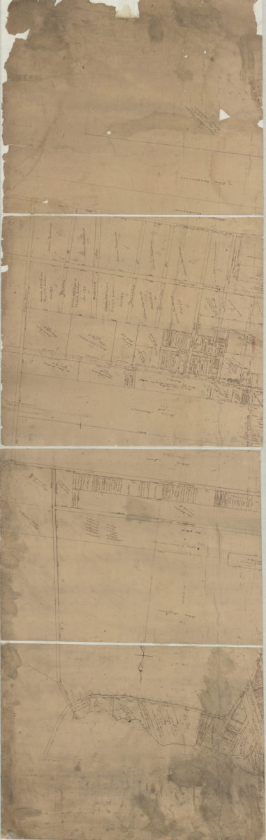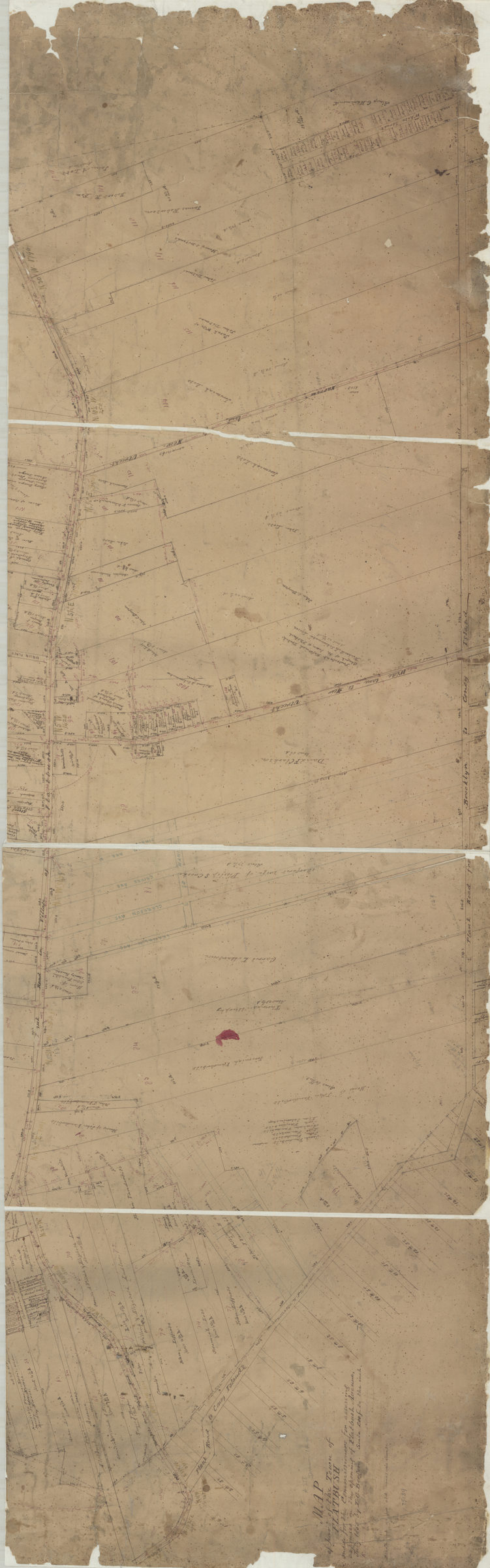
Map of part of the town of Flatbush, made for the commissioners for assessing expenses on the opening of Flatbush Avenue: by T.G. Bergen July 1855
Map No. Bergen-1855a.Fl
Cadastral map covering Flatbush Ave. north from Vernon Ave. to Montgomery Ave. (modern-day Crown Heights, Prospect Lefferts Gardens, Ditmas Park, and Flatbush). Shows property (including lots), and names of landowners. Oriented with north to the left. Includes notes.
Subjects
Places
Map area shown
Relation
Full catalog recordSize
106 × 170 cmDownload
Low Resolution Image
Creator
Bergen, Teunis G.,Publisher
Brooklyn Historical SocietyCitation
Map of part of the town of Flatbush, made for the commissioners for assessing expenses on the opening of Flatbush Avenue: by T.G. Bergen; July 1855, Map Collection, Bergen-1855a.Fl; Brooklyn Historical Society.Scale
Scale not givenLoading zoom image...