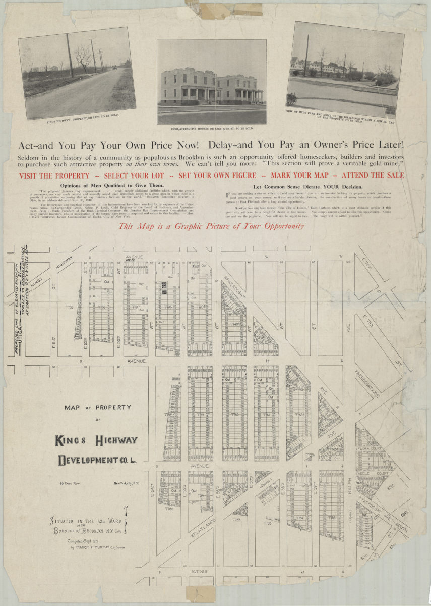
Map of property of Kings Highway Developmental Co. Inc.: situated in the 32nd Ward of the Borough of Brooklyn, N.Y. City: computed Sept. 1915 by Francis P. Murphy, City Surveyor 1915
Map No. B P-1915.Fl
Cadastral map covering the area roughly bounded by Avenue G, Ralph Avenue, Avenue J, East 54th Street, Avenue H and Utica Avenue in modern-day East Flatbush. Shows property for sale, including block and lot numbers as well as property dimensions. Includes text and illustrations. On verso: text, illustrations, and bird’s-eye views of East Flatbush and Jamaica Bay.
Subjects
Places
Map area shown
Relation
Full catalog recordSize
84 × 59 cmDownload
Low Resolution Image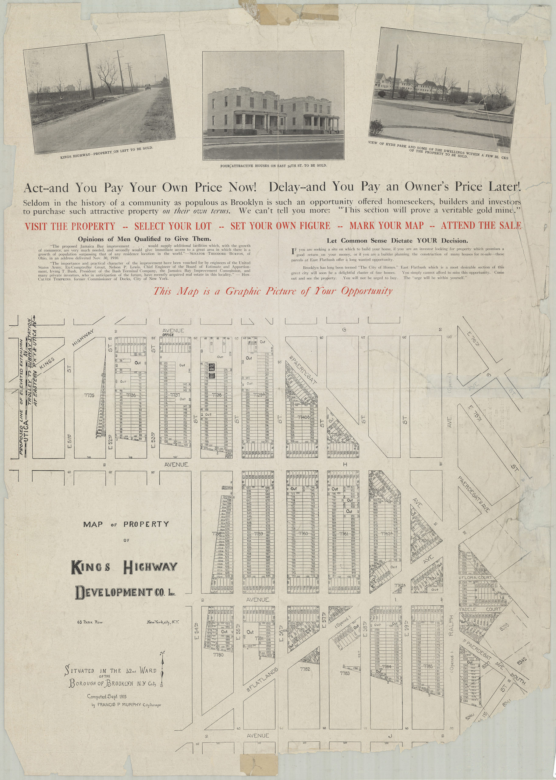
Creator
Murphy, Francis P.,Publisher
Brooklyn Historical SocietyCitation
Map of property of Kings Highway Developmental Co. Inc.: situated in the 32nd Ward of the Borough of Brooklyn, N.Y. City: computed Sept. 1915 by Francis P. Murphy, City Surveyor; 1915, Map Collection, B P-1915.Fl; Brooklyn Historical Society.Scale
Scale not givenLoading zoom image...