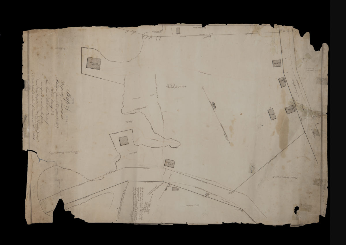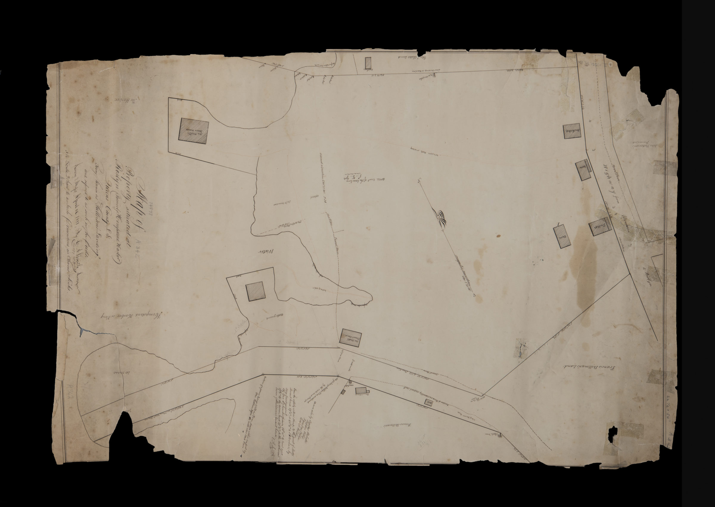
Map of property situated at Roslyn (formerly Hempstead Harbor), Queens County, L.I., being known as “Patterson’s Landing” and referred to as such in the deeds: by G.A. Smith, surveyor September 27, 1851
Map No. L.I.-1851.Fl.RA
Cadastral map showing buildings and names of landowners. Oriented with north to the lower right. “Survey of Maps April 12, 1851 … This copy Sept. 27, 1851.” BHS copy imperfect missing portion of upper left corner and lower right margin, possibly affecting description.
Map area shown
Relation
Full catalog recordSize
83 × 57 cmDownload
Low Resolution Image
Creator
Smith, G. A.,Publisher
Brooklyn Historical SocietyCitation
Map of property situated at Roslyn (formerly Hempstead Harbor), Queens County, L.I., being known as “Patterson’s Landing” and referred to as such in the deeds: by G.A. Smith, surveyor; September 27, 1851, Map Collection, L.I.-1851.Fl.RA; Brooklyn Historical Society.Scale
Scale [1,584] 1 in to 2 cLoading zoom image...