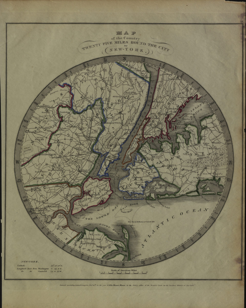
Map of the country twenty five miles round the city of New York [ca. 1836]
Map No. NYC-1836.Fl
Covers the New York metropolitan area north from Monmouth County to Rockland County and east from Morris County to Hempstead. Shows railroads and wetlands. Relief shown by hachures. Depths shown by isolines. “Entered according to Act of Congress, Novr. 11th in the year 1836 by Thomas Illman in the Clerk’s office of the District Court for the Southern District of New York.” Counties outlined in color. Includes note on the longitude and latitude of New York. “37”–Upper right margin.
Map area shown
Genre
Bathymetric mapsRelation
Full catalog recordSize
38 × 30 cmDownload
Low Resolution Image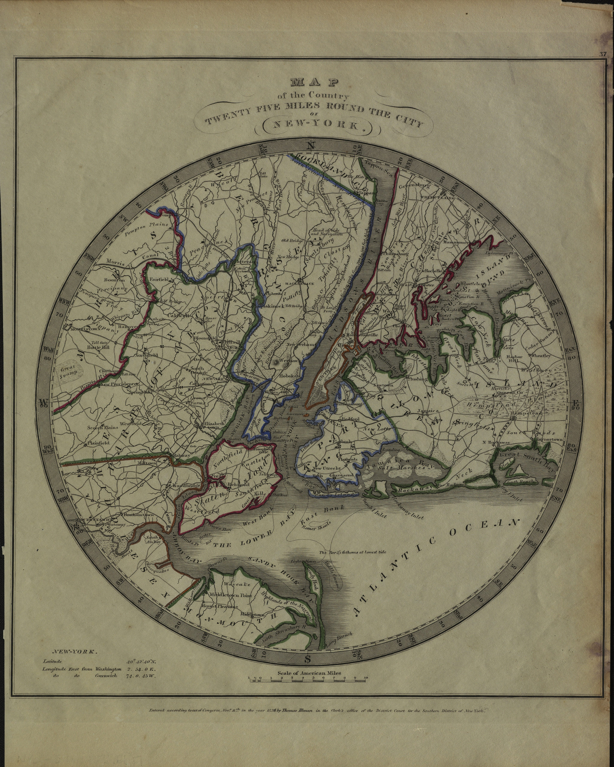
Creator
Ilman, Thomas,Publisher
Brooklyn Historical SocietyCitation
Map of the country twenty five miles round the city of New York; [ca. 1836], Map Collection, NYC-1836.Fl; Brooklyn Historical Society.Scale
Scale [ca. 1:312,426]Loading zoom image...