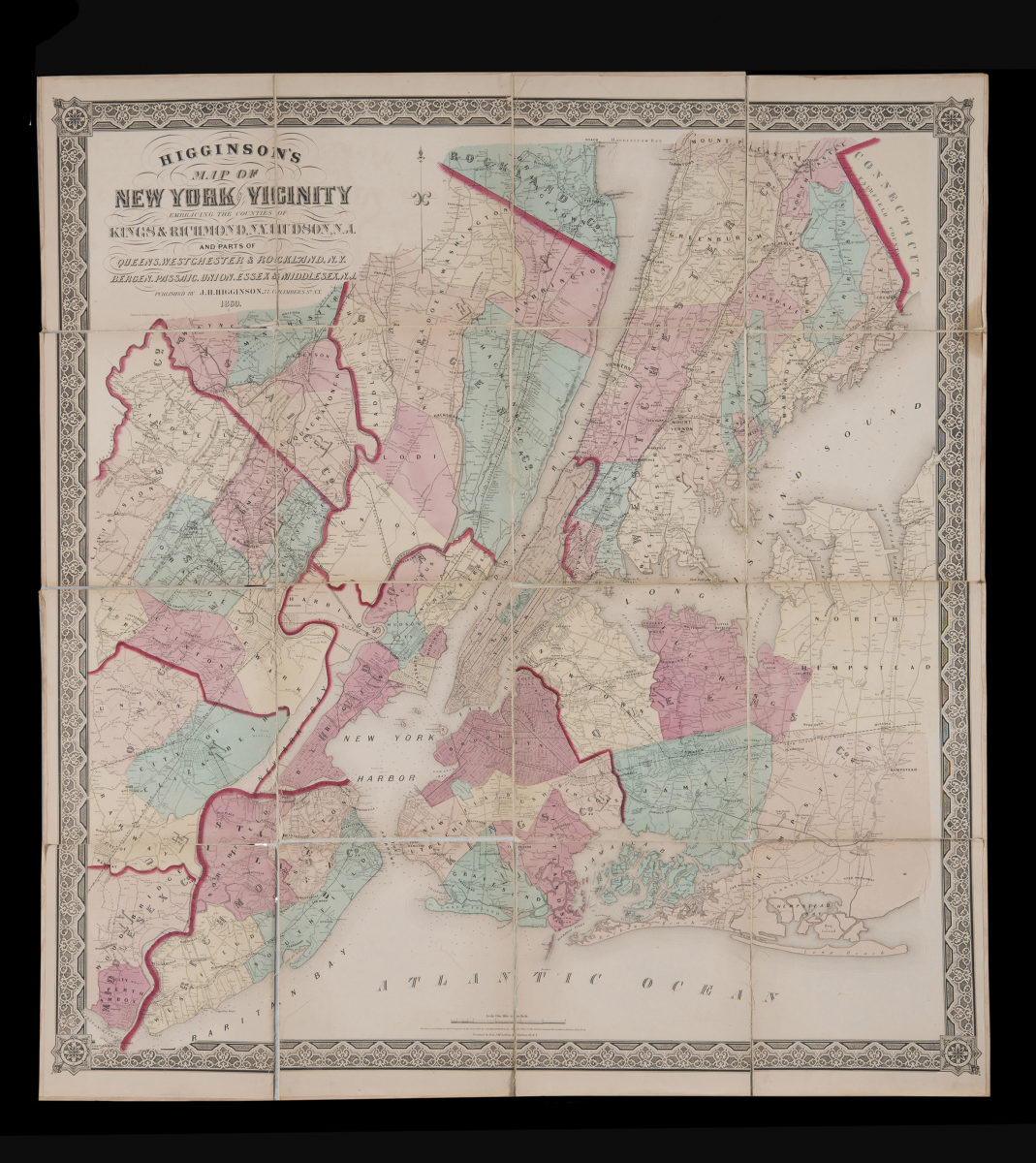
Higginson’s map of New York and vicinity: embracing the counties of Kings & Richmond, N.Y., Hudson, N.J. and parts of Queens, Westchester & Rockland, N.Y., Bergen, Passaic, Union, Essex & Middlesex, N.J.
Higginson’s map of New York and vicinity: embracing the counties of Kings & Richmond, N.Y., Hudson, N.J. and parts of Queens, Westchester & Rockland, N.Y., Bergen, Passaic, Union, Essex & Middlesex, N.J.
1860
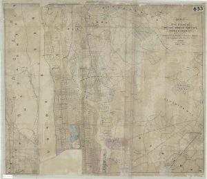
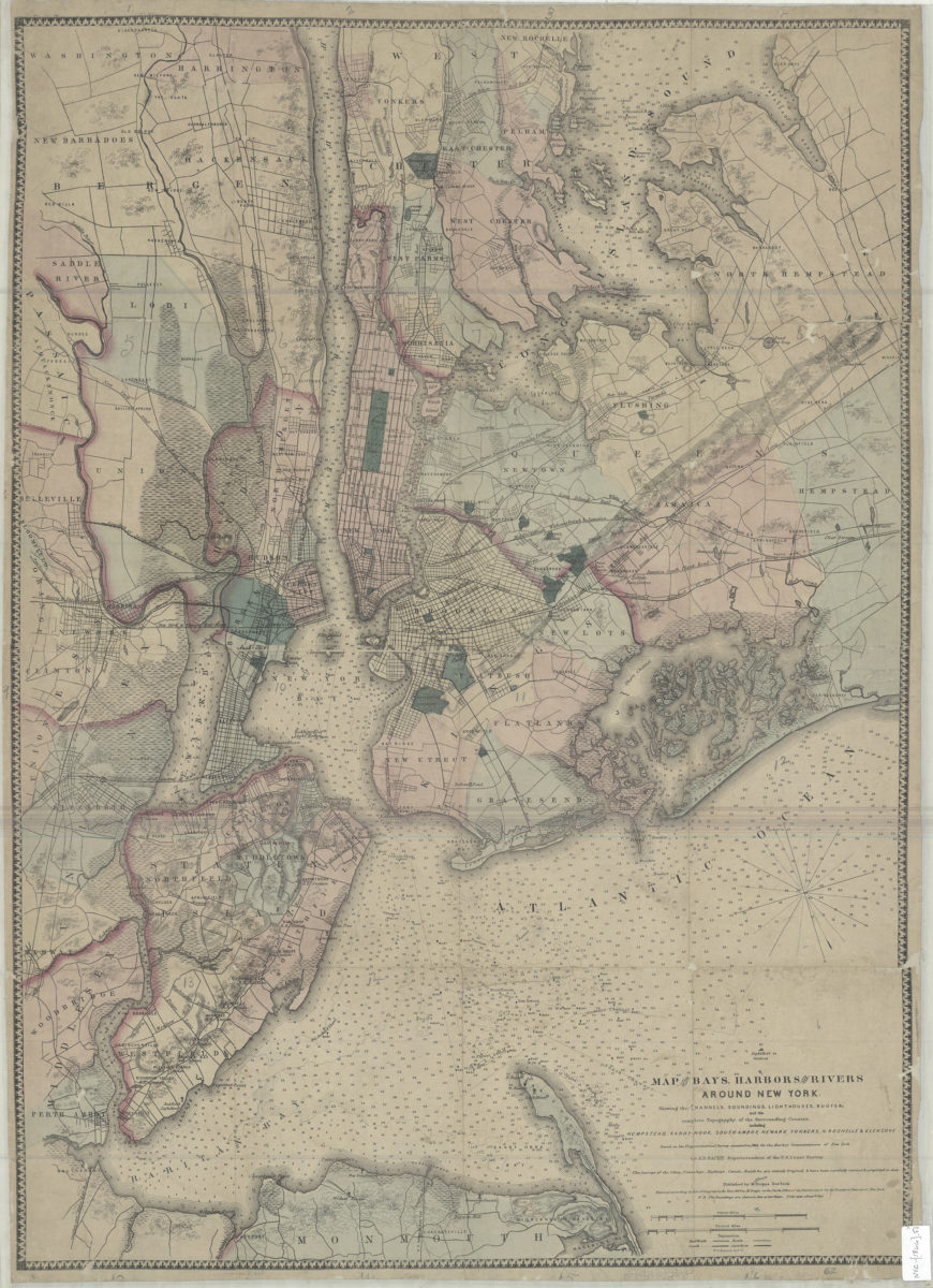
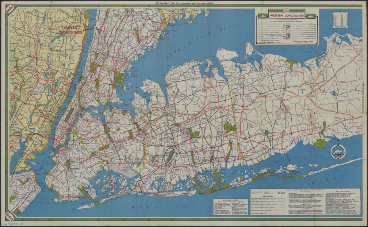
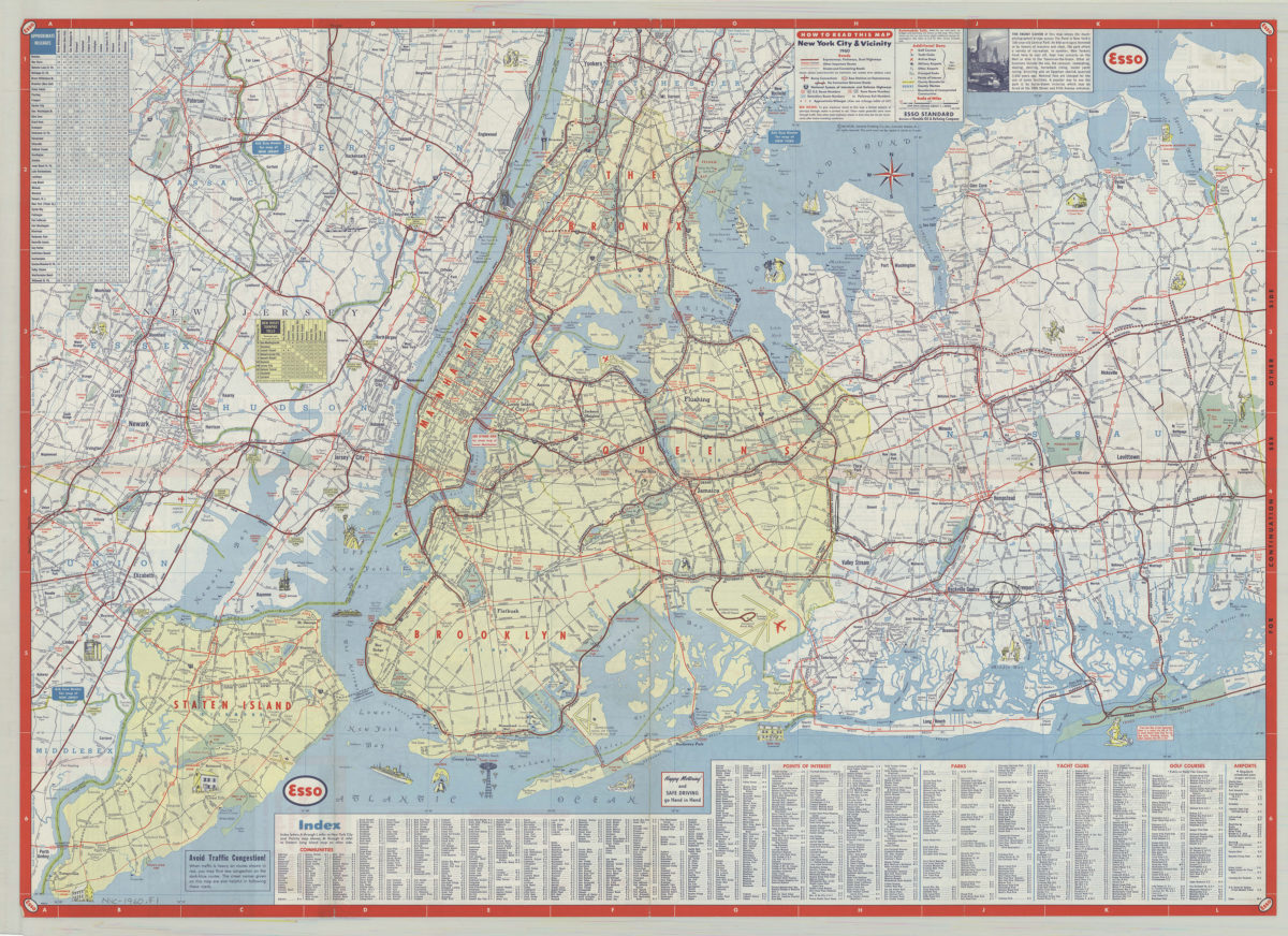
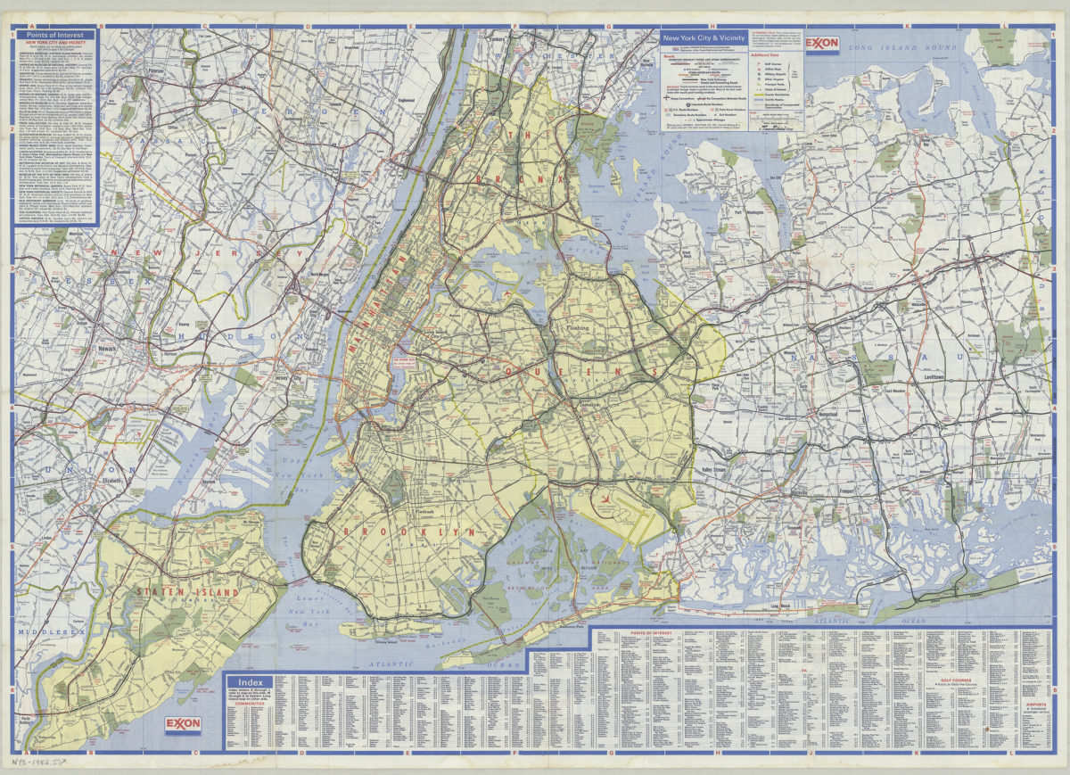
Map of the bays, harbors, and rivers around New York: showing the channels, soundings, lighthouses, buoys and the complete topography of the surrounding country. including Hempstead, Sandy-Hook, South-Amboy, Newark, Yonkers, N. Rochelle & Glen Cove
Map of the bays, harbors, and rivers around New York: showing the channels, soundings, lighthouses, buoys and the complete topography of the surrounding country. including Hempstead, Sandy-Hook, South-Amboy, Newark, Yonkers, N. Rochelle & Glen Cove
[ca. 1866]