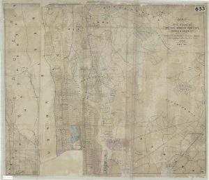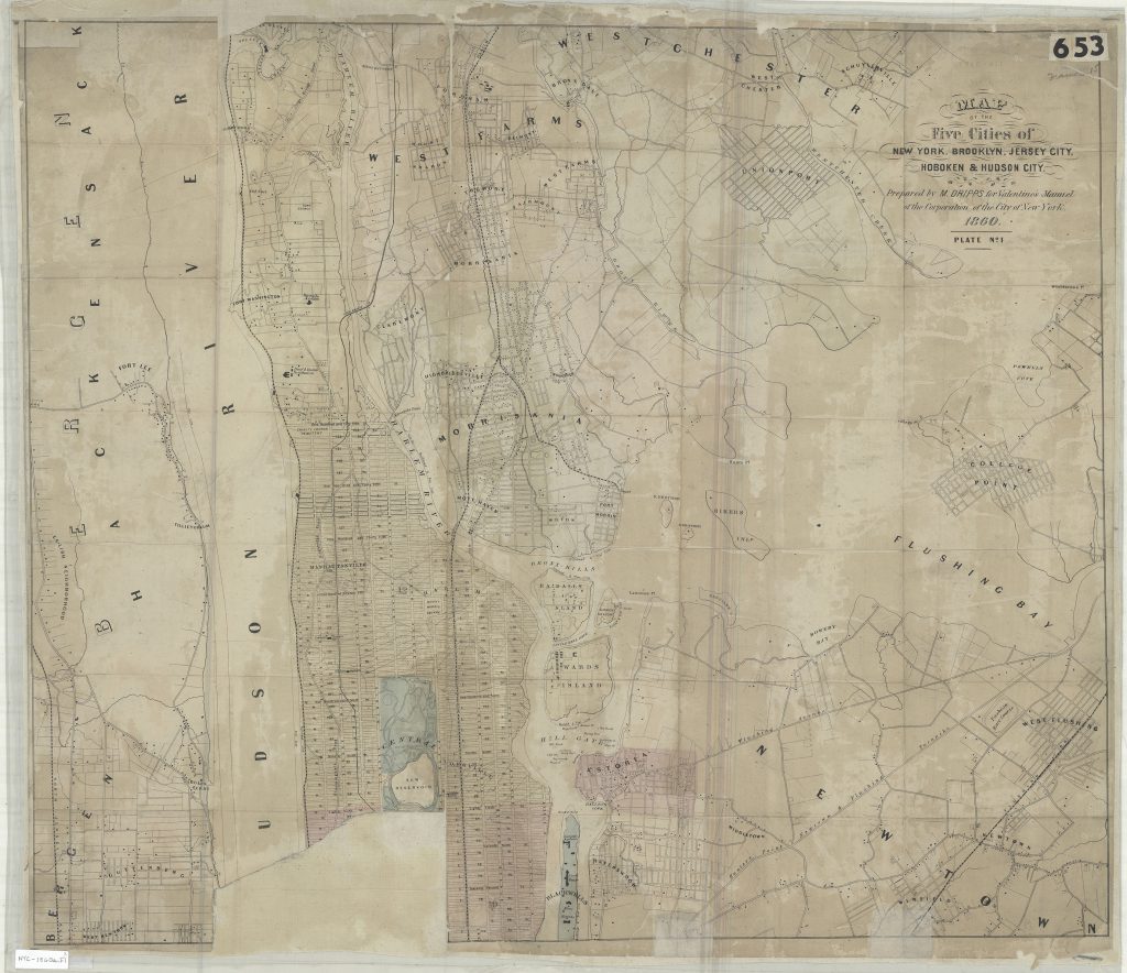
Map of the five cities of New York, Brooklyn, Jersey City, Hoboken & Hudson City: prepared by M. Dripps for Valentine’s Manuel [i.e. Manual] of the Corporation of the City of New York 1860
Map No. NYC-1860a.Fl
Covers Manhattan north of 63rd St. also covers Wards Island, Randalls Island, Sunken Meadow, N. Brother Island, S. Brother Island, Rikers Island, and Berrians Island as well as portions of the Bronx, Bergen County, northwest Queens, and Blackwells Island. Shows railroads, bulkhead lines, and pier lines. “Plate no. 1.” Map issued in two plates missing plate no. 2 and portion of plate no. 1.
Map area shown
Genre
MapRelation
Full catalog recordSize
60 × 71 cmCreator
Dripps, M.,Publisher
Brooklyn Historical SocietyCitation
Map of the five cities of New York, Brooklyn, Jersey City, Hoboken & Hudson City: prepared by M. Dripps for Valentine’s Manuel [i.e. Manual] of the Corporation of the City of New York; 1860, Map Collection, NYC-1860a.Fl; Brooklyn Historical Society.Scale
Scale not givenLoading zoom image...