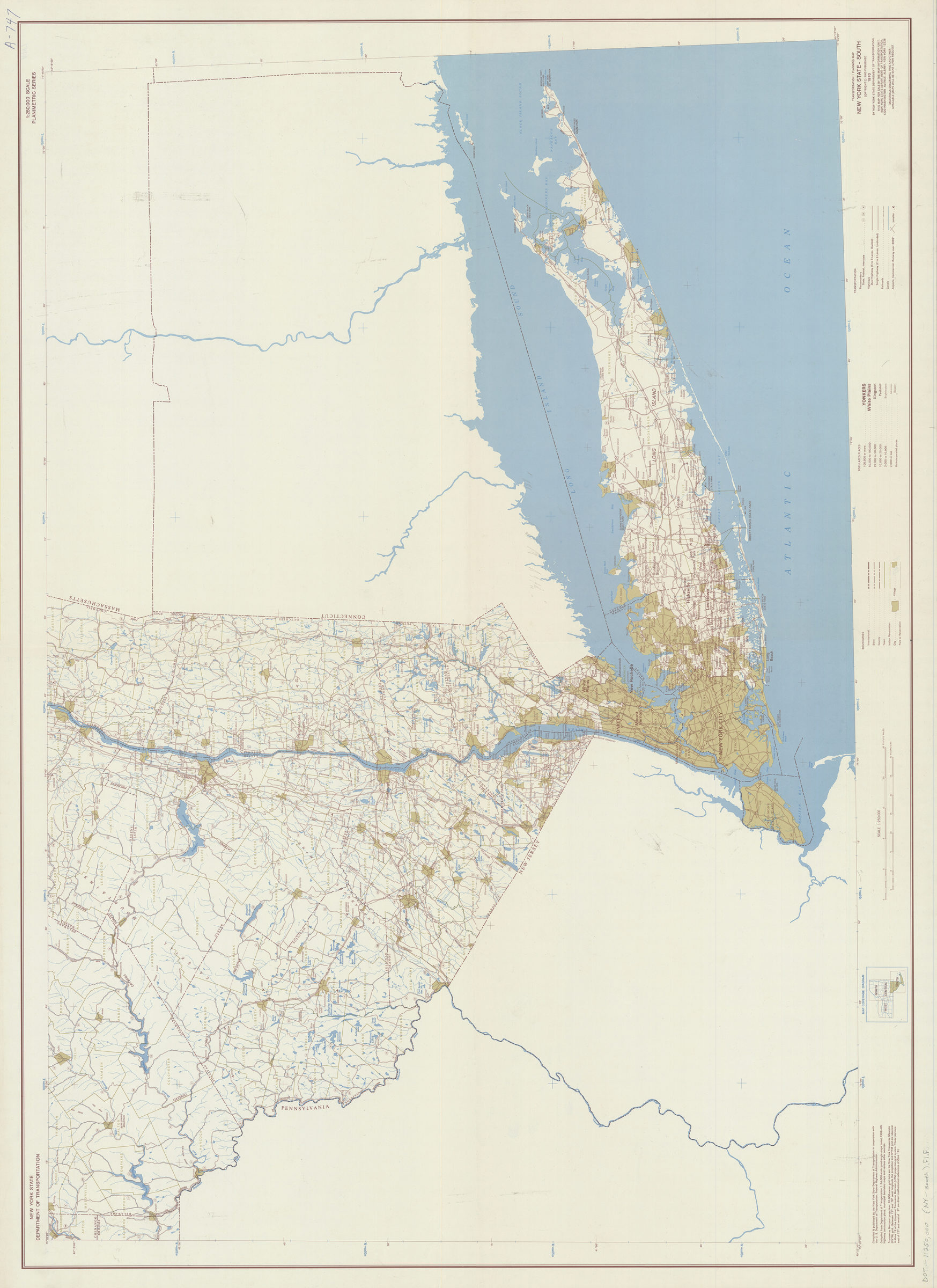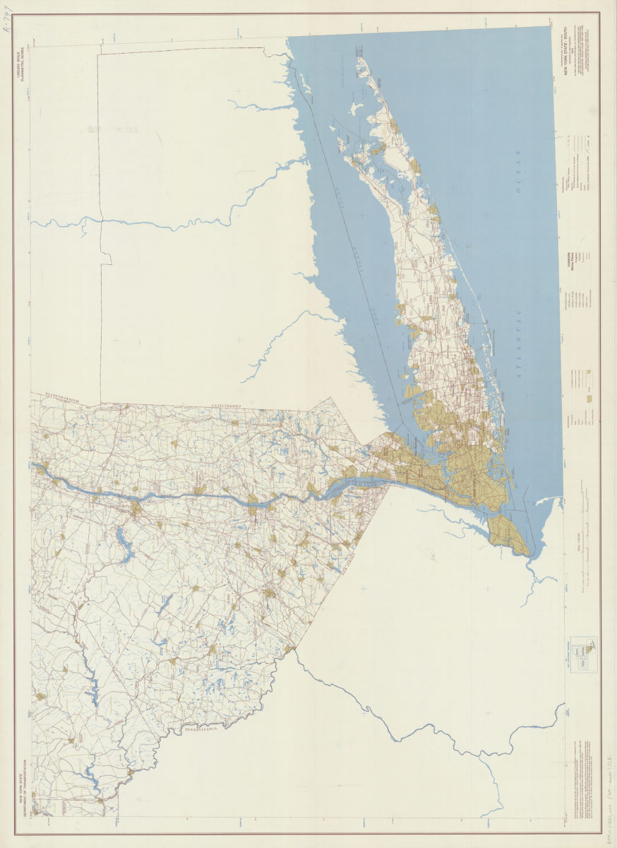
Transportation/planning map, New York State–South: prepared and published by the New York State Department of Transportation in cooperation with the Federal Highway Administration, U.S. Department of Transportation [1970; 1970]
Map No. DOT-1:250,000 (NY-south).Fl.Folio
Covers the Southern tier of New York State from the town of Hudson south and from Delaware County east. Shows administrative boundaries, populated places graded according to population size, and highways, railroads, canals and airports. Includes “Map coverage diagram.” “Compiled from Department of Transportation 1:24,000 scale quadrangle maps, highway construction plans, municipal boundary maps, and various other sources.”
Map area shown
Genre
Transportation mapsRelation
Full catalog recordSize
95 × 130 cmDownload
Low Resolution ImageCreator
New York (State); Department of Transportation,Publisher
Brooklyn Historical SocietyCitation
Transportation/planning map, New York State–South: prepared and published by the New York State Department of Transportation in cooperation with the Federal Highway Administration, U.S. Department of Transportation; [1970; 1970], Map Collection, DOT-1:250,000 (NY-south).Fl.Folio; Brooklyn Historical Society.Scale
Scale 1:250,000Loading zoom image... 
